Newburgh in Warrick County, Indiana — The American Midwest (Great Lakes)
Newburgh's Historic Lock & Dam
Inscription.
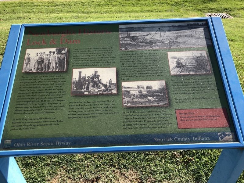
The story of the Ohio River is not complete without the story of its locks and dams. Early navigation on the Ohio was restricted by water levels dictated by the seasons. In the dry season the river was so shallow in parts it could be crossed by foot or wagon. The fall and spring rises in water level allowed the passage of boats, but not without the danger of debris, snags and obstructions. Recognizing the importance of river transportation, in 1824 the U.S. Congress authorized the Army Corps of Engineers to remove snags and install wing dams, man-made obstructions laid perpendicular to the river to increase flow in the center of the river.
In 1911 Congress passed the Rivers and Harbors Act, authorizing construction of locks and dams along the approximately 981-mile path of the Ohio River. The placement of the dams was based on the distance required from the previous up river dam to maintain a sufficient pool depth for navigation, placing most of the Ohio River dams in remote locations, isolated from towns. Workers and their families built their homes in close proximity to the dams, grew their own produce and schooled their own children.
Personnel at the dam sites were on call at all times, and work on the dams was dangerous, often requiring men to enter the murky waters in diving suits to remove debris to free the wickets, wooden and iron devices that have been compared to ironing boards.
The complex built for the locks and dam at Newburgh was typical. Construction at Newburgh began in 1923. The entire system, from Pittsburgh to Cairo, was completed in 1929. Newburgh Dam had a powerhouse, lockmasters' quarters, storage buildings, workshops and fuel equipment. The dam was a wicket type. Wickets, invented in 1852, were made of wood on a steel frame resting on the river bottom. The wickets could be raised or lowered.
By the 1940s, modern watercraft required larger locks and deeper pools. In the 1950s, the Corps undertook the Ohio River Navigation and Modernization Program to replace the obsolete wicket system. Newburgh's new locks and dam were relocated upriver and were functional by 1969. There is a centralized Control Station on top of the Operations Building, completed in 1980, from which lock operators can view several miles of river. The two new locks are 600 and 1,200 feet long and have a pool depth of over 300 feet.
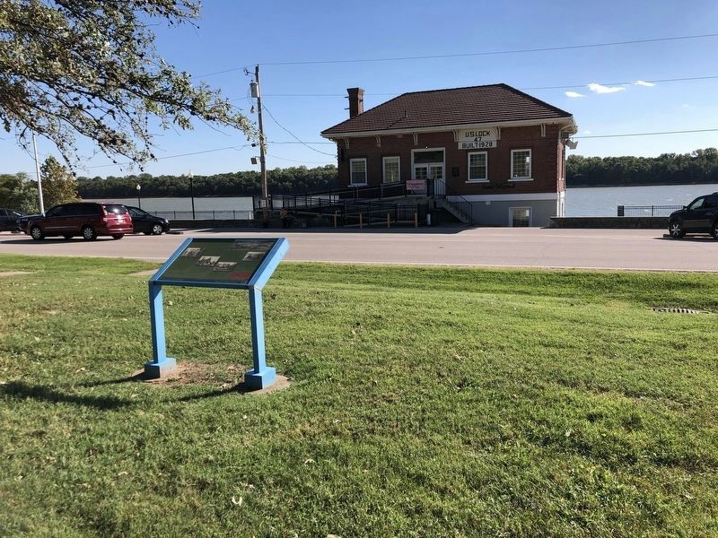
The powerhouse of the old Newburgh system can still be seen.
By the Way: Locks and dams only serve navigation; they are not used for flood control.
Erected by Ohio River Scenic Byway.
Topics. This historical marker is listed in these topic lists: Industry & Commerce
• Waterways & Vessels. A significant historical year for this entry is 1824.
Location. 37° 56.571′ N, 87° 23.979′ W. Marker is in Newburgh, Indiana, in Warrick County. Marker is on French Island Trail (State Road 662) 0.2 miles west of Overlook Court, on the right when traveling west. Touch for map. Marker is at or near this postal address: 525 State Rd 662 E, Newburgh IN 47630, United States of America. Touch for directions.
Other nearby markers. At least 8 other markers are within walking distance of this marker. Lockmaster Cottages (within shouting distance of this marker); Little Red Brick House (about 300 feet away, measured in a direct line); Site of First Dwelling in Warrick County (about 500 feet away); Cutteridge-Curtis House (approx. 0.2 miles away); Burns-Brown-Rust Home (approx. 0.2 miles away); Miner-Raleigh House (approx. 0.2 miles away); Thomas Floyd Bethell House (approx. 0.2 miles away); Bates-Walden House (approx. ¼ mile away). Touch for a list and map of all markers in Newburgh.
Credits. This page was last revised on January 4, 2023. It was originally submitted on October 4, 2022, by Duane and Tracy Marsteller of Murfreesboro, Tennessee. This page has been viewed 239 times since then and 59 times this year. Photos: 1, 2. submitted on October 4, 2022, by Duane and Tracy Marsteller of Murfreesboro, Tennessee.

