Dyess in Mississippi County, Arkansas — The American South (West South Central)
Dyess Colony
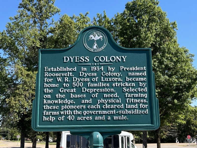
Photographed by Craig Swain, September 25, 2022
1. Dyess Colony Marker
Erected by Cotton Highway.
Topics. This historical marker is listed in this topic list: Agriculture. A significant historical year for this entry is 1934.
Location. 35° 35.415′ N, 90° 12.874′ W. Marker is in Dyess, Arkansas, in Mississippi County. It is at the intersection of Center Drive and Main Street (County Road 297), on the right when traveling south on Center Drive. Located between the theater and the town hall of Dyess, Arkansas. Touch for map. Marker is at or near this postal address: 110 Center Drive, Dyess AR 72330, United States of America. Touch for directions.

Regionally, this marker is in the Arkansas Delta, in Crowley’s Ridge, and in the Mississippi Alluvial Plain. It is also in the American South, specifically in the Upper South, in the Mississippi Delta, and in the Great
this page online
Other nearby markers. At least 8 other markers are within 7 miles of this marker, measured as the crow flies: Cafe & Shops (here, next to this marker); American Revolution Bicentennial (within shouting distance of this marker); Commissary (within shouting distance of this marker); Dyess (within shouting distance of this marker); School (approx. 0.2 miles away); Community Building (approx. 0.2 miles away); Johnny Cash (approx. 1.8 miles away); American Revolution Flagpole (approx. 6.2 miles away). Touch for a list and map of all markers in Dyess.
Also see . . .
1. Historic Dyess Colony. Center Drive serves as the start point for a tour to the Johnny Cash home, just a short drive to the west. Arkansas State University maintains both sites along with a website detailing the history of the Colony and its most famous resident.
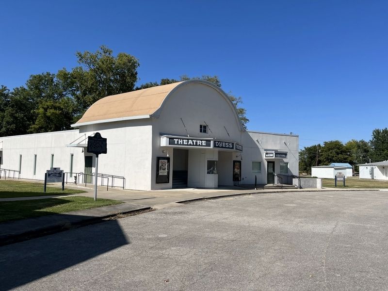
Photographed by Craig Swain, September 25, 2022
2. Dyess Colony Marker
The marker stands beside the 1940s era theater.
2. Dyess, Mississippi County. Encyclopedia of Arkansas entry for the town of Dyess. The entry details the story of the colony and its development. As one contemporary singer wrote, “I know there’s bigger cities, but there ain’t no better town.” (Submitted on October 5, 2022, by Craig Swain of Leesburg, Virginia.)
3. Farm Resettlement Projects. Dyess was Colonization Project No. 1, and part of a larger project administered by Federal Emergency Relief Administration (FERA) and the Works Progress Administration (WPA) aimed at providing some relief for tenant farmers affected by the Great Depression. Note the racial segregation within this project. Dyess was one of four white projects, separated from two projects for black tenant farmers. (Submitted on October 5, 2022, by Craig Swain of Leesburg, Virginia.)
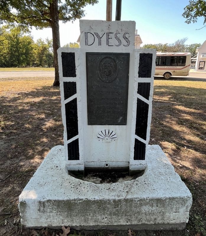
Photographed by Craig Swain, September 25, 2022
3. W.R. Dyess Memorial
Inscription on plaque:
1893 - 1936
In commemoration of
W.R. Dyess
whose vision and effort
as relief administrator
of Arkansas
fostered into a reality
Dyess Colony
In commemoration of
W.R. Dyess
whose vision and effort
as relief administrator
of Arkansas
fostered into a reality
Dyess Colony
Credits. This page was last revised on October 10, 2022. It was originally submitted on October 5, 2022, by Craig Swain of Leesburg, Virginia. This page has been viewed 835 times since then and 64 times this year. Photos: 1, 2. submitted on October 5, 2022, by Craig Swain of Leesburg, Virginia. 3. submitted on October 10, 2022, by Craig Swain of Leesburg, Virginia.
