Newburgh in Warrick County, Indiana — The American Midwest (Great Lakes)
Site of First Dwelling in Warrick County
Home of John Sprinkle

Photographed by Duane and Tracy Marsteller, September 25, 2022
1. Site of First Dwelling in Warrick County Marker
Erected 1990 by Women's Club of Newburgh, Indiana.
Topics and series. This historical marker is listed in these topic lists: Fraternal or Sororal Organizations • Settlements & Settlers. In addition, it is included in the Indiana, Women's Club of Newburgh series list. A significant historical year for this entry is 1803.
Location. 37° 56.649′ N, 87° 24.024′ W. Marker is in Newburgh, Indiana, in Warrick County. It is at the intersection of East Jennings Street and Adams Street, on the right when traveling west on East Jennings Street. Touch for map. Marker is at or near this postal address: 416 E Jennings St, Newburgh IN 47630, United States of America. Touch for directions.

Regionally, this marker is in the Tri-State Region and in Southern Indiana. It is also in the American Midwest, in the Ohio River Valley, and in the
this page online
Other nearby markers. At least 8 other markers are within walking distance of this marker: Cutteridge-Curtis House (about 400 feet away, measured in a direct line); Lockmaster Cottages (about 500 feet away); Newburgh's Historic Lock & Dam (about 500 feet away); Burns-Brown-Rust Home (about 600 feet away); Miner-Raleigh House (about 800 feet away); Ringham House (about 800 feet away); Thomas Floyd Bethell House (approx. 0.2 miles away); Little Red Brick House (approx. 0.2 miles away). Touch for a list and map of all markers in Newburgh.
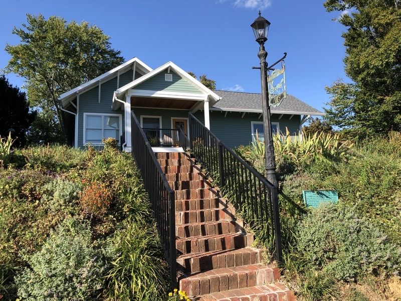
Photographed by Duane and Tracy Marsteller, September 25, 2022
2. Site of First Dwelling in Warrick County Marker
Credits. This page was last revised on October 6, 2022. It was originally submitted on October 5, 2022, by Duane and Tracy Marsteller of Murfreesboro, Tennessee. This page has been viewed 274 times since then and 32 times this year. Photos: 1, 2. submitted on October 5, 2022, by Duane and Tracy Marsteller of Murfreesboro, Tennessee.
