Sunland in Los Angeles in Los Angeles County, California — The American West (Pacific Coastal)
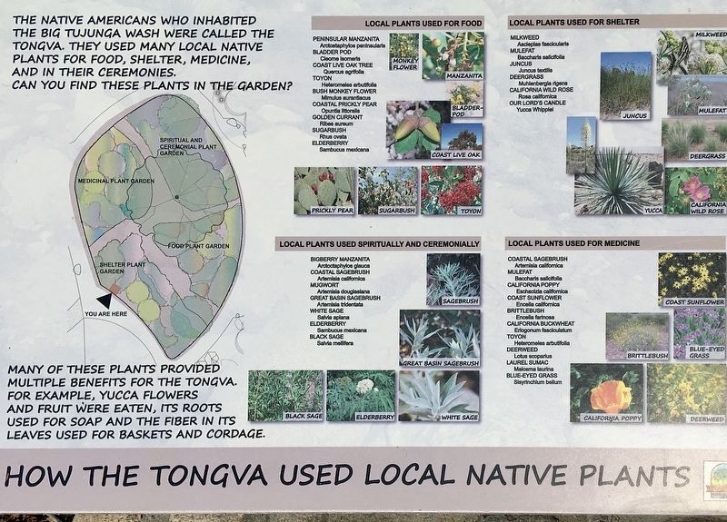
How the Tongva Used Local Native Plants
Erected by Los Angeles Recreation & Parks.
Topics. This historical marker is listed in these topic lists: Native Americans • Natural Resources.
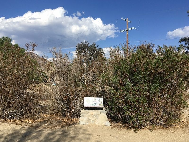
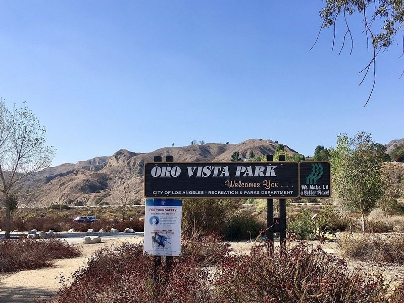
Location. 34° 16.25′ N, 118° 18.965′ W. Marker is in Los Angeles, California, in Los Angeles County. It is in Sunland. Marker can be reached from the intersection of Oro Vista Avenue and Grove Street, on the left when traveling north. Located in Oro Vista Park. Touch for map. Marker is at or near this postal address: 11101 Oro Vista Ave, Sunland CA 91040, United States of America. Touch for directions.
Other nearby markers. At least 8 other markers are within 3 miles of this marker, measured as the crow flies. Sunland Park (approx. 0.8 miles away); Sunland Welcome Nature Garden (approx. one mile away); Verdugo Hills High School (approx. 1.1 miles away); McGroarty Home (approx. 1.8 miles away); McGroarty Home and Grounds (approx. 1.8 miles away); Verdugo Hills Cemetery (approx. 1.9 miles away); Bolton Hall (approx. 2 miles away); Sister Elsie’s Well (approx. 2.8 miles away). Touch for a list and map of all markers in Los Angeles.
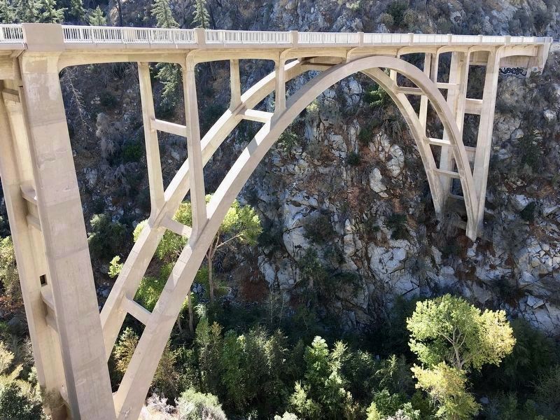
More about this marker. Oro Vista Avenue connects to Big Tujunga Canyon Road, a scenic drive through the San Gabriel Mountains past such historic sites as the Big Tujunga Dam and the Big Tujunga Narrows Bridge.

Photographed By Craig Baker (CC0), November 24, 2019
4. Big Tujunga Narrows Bridge
Built in 1941. Located 15 miles up Big Tujunga Cyn Rd.
Credits. This page was last revised on October 6, 2023. It was originally submitted on October 8, 2022, by Craig Baker of Sylmar, California. This page has been viewed 396 times since then and 155 times this year. Photos: 1, 2, 3. submitted on October 8, 2022, by Craig Baker of Sylmar, California. 4. submitted on January 21, 2023, by Craig Baker of Sylmar, California.


