Hopwood in Fayette County, Pennsylvania — The American Northeast (Mid-Atlantic)
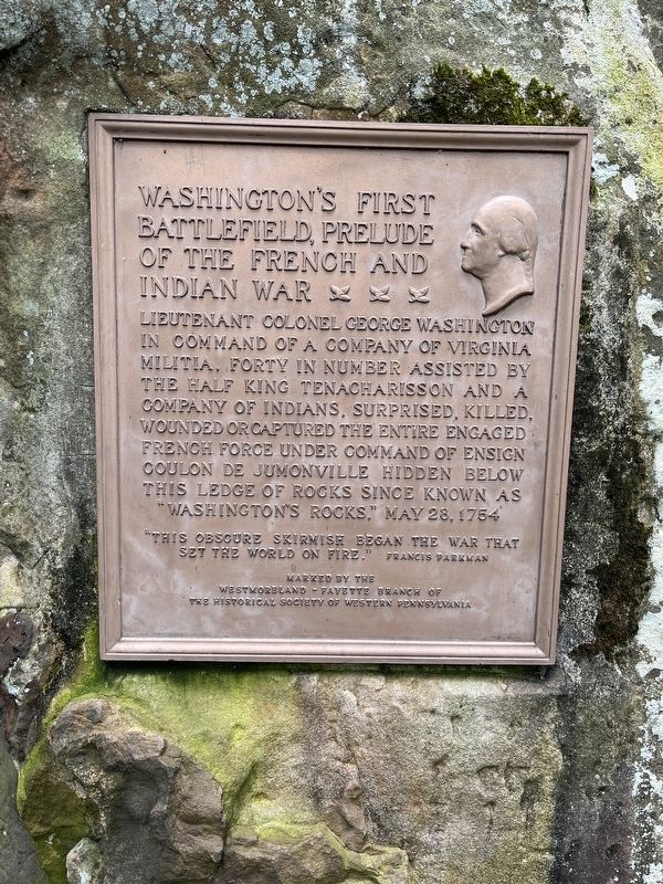
Washington's First Battlefield
Prelude to the French and Indian War
"This obscure skirmish began the war that set the world on fire." Francis Parkman
Erected by Westmoreland-Fayette Branch of the Historical Society of Western Pennsylvania.
Topics. This historical marker is listed in this topic list: War, French and Indian. A significant historical date for this entry is May 28, 1754.
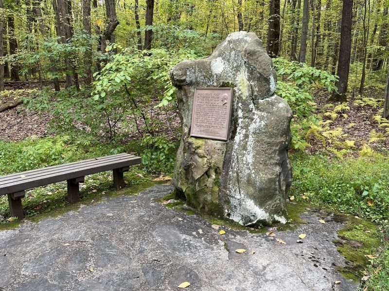
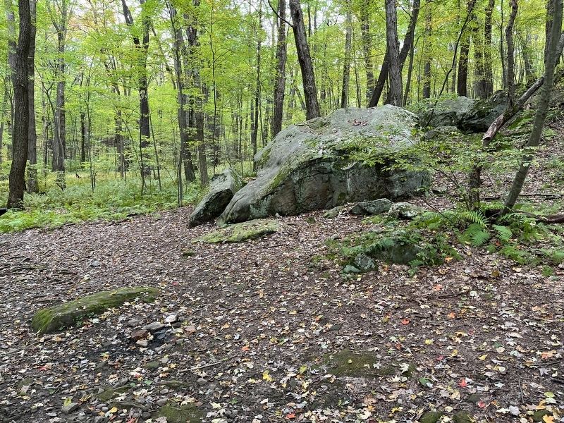
Location. 39° 52.777′ N, 79° 38.428′ W. Marker is in Hopwood, Pennsylvania, in Fayette County. Marker can be reached from Jumonville Road (County Road 2021), on the right when traveling north. Located on the loop trail in the Jumonville Glen unit of the Fort Necessity National Battlefield. Touch for map. Marker is in this post office area: Hopwood PA 15445, United States of America. Touch for directions.
Other nearby markers. At least 8 other markers are within walking distance of this marker. Diplomats or Spies? (within shouting distance of this marker); Surprise Attack (within shouting distance of this marker); From Jumonville to a World War (about 500 feet away, measured in a direct line); Jumonville Glen (about 500 feet away); Braddock Road (approx. 0.4 miles away); Jumonville (approx. 0.4 miles away); Dunbar's Camp (approx. 0.4 miles away); Uniontown Soldiers' Orphan School (approx. 0.6 miles away). Touch for a list and map of all markers in Hopwood.
Also see . . . Fort Necessity National Battlefield. The park has three primary units - the Fort Necessity and Washington Tavern's unit, Braddock's Grave unit, and Joumonville Glen. The last, and where this marker is located, is the most remote of the three. The other two are astride the National Road (US Highway 40). (Submitted on October 9, 2022, by Craig Swain of Leesburg, Virginia.)
Credits. This page was last revised on October 9, 2022. It was originally submitted on October 9, 2022, by Craig Swain of Leesburg, Virginia. This page has been viewed 139 times since then and 22 times this year. Photos: 1, 2, 3. submitted on October 9, 2022, by Craig Swain of Leesburg, Virginia.


