Gananoque in Leeds and Grenville United Counties, Ontario — Central Canada (North America)
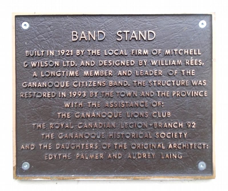
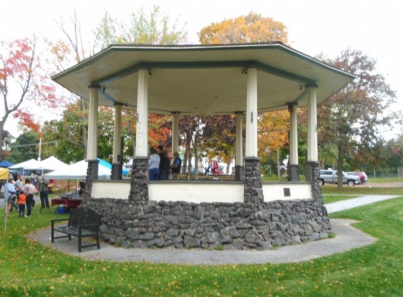
Band Stand
The Gananoque Lions Club
The Royal Canadian Legion-Branch 92
The Gananoque Historical Society
and the daughters of the original architect:
Edythe Palmer and Audrey Laing
Erected by the Gananoque Historical Society and Concerned Citizens and Organizations.
Topics. This historical marker is listed in these topic lists: Arts, Letters, Music • Charity & Public Work • Entertainment • Parks & Recreational Areas. A significant historical year for this entry is 1921.
Location. 44° 19.712′ N, 76° 9.89′ W. Marker is in Gananoque, Ontario, in Leeds and Grenville United Counties. Marker is at the intersection of King Street East (County Highway 2) and Park Street, on the right when traveling west on King Street East. Marker and Band Stand are on the Town Hall grounds. Touch for map. Marker is at or near this postal address: 30 King Street East, Gananoque ON K7G 1E9, Canada. Touch for directions.
Other nearby markers. At least 8 other markers are within walking distance of this marker. Gananoque Town Hall (a few steps from this marker); Private John Henry (Harry) Brown (a few steps from this marker); War Memorial (a few steps from this marker); Colonel Joel Stone (within shouting distance of this marker); A Brief History of Half Moon Bay (within shouting distance of this marker); The Umbrella (within shouting distance of this marker); The Way It Was (within shouting distance of this marker); Engine 500 (about 90 meters away, measured in a direct line). Touch for a list and map of all markers in Gananoque.
Also see . . .
1. The Gananoque Citizens' Band (The Gananoque Museum Restoration Project Blog, 2007). (Submitted on October 9, 2022, by William Fischer, Jr. of Scranton, Pennsylvania.)
2. Band Shell Statement of Cultural Value or Interest (Town of Gananoque, 2021). (Submitted on October 9, 2022, by William Fischer, Jr. of Scranton, Pennsylvania.)
Credits. This page was last revised on October 9, 2022. It was originally submitted on October 9, 2022, by William Fischer, Jr. of Scranton, Pennsylvania. This page has been viewed 56 times since then and 3 times this year. Photos: 1, 2. submitted on October 9, 2022, by William Fischer, Jr. of Scranton, Pennsylvania.

