Boyle Heights in Los Angeles in Los Angeles County, California — The American West (Pacific Coastal)
Hollenbeck Park Bridge
— 1970 — 2009 —
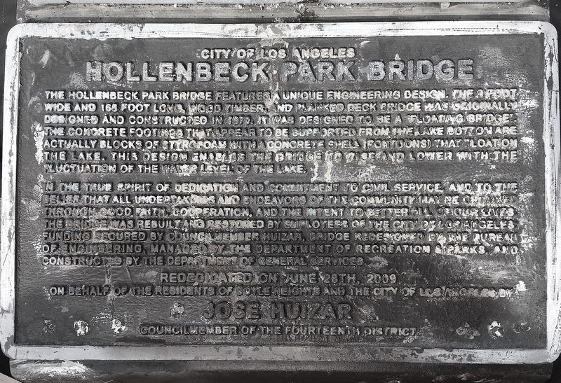
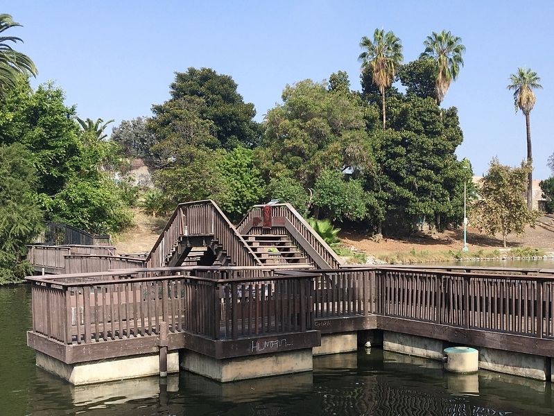
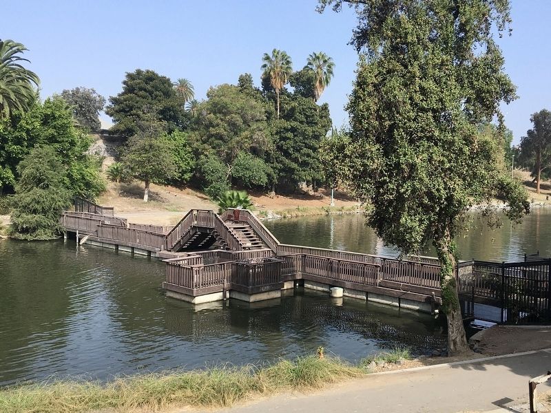
The Hollenbeck Park Bridge features a unique engineering design. The 9 foot wide and 168 foot long, wood timber, and planked deck bridge was originally designed and constructed in 1970. It was designed to be a “floating bridge”. The concrete footings that appear to be supported from the lake bottom are actually blocks of styrofoam with a concrete shell (pontoons) that float on the lake. This design enables the bridge to rise and lower with the fluctuation of the water level of the lake.
In the true spirit of dedication and commitment to civil service and to the belief that all undertakings and endeavors of the community may be obtained through good faith cooperation, and the intent to better all of our lives, the bridge was rebuilt and restored by employees of the City of Los Angeles. Funding secured by council member Huizar, bridge redesigned by the Bureau of Engineering, managed by the Department of Recreation & Parks, and constructed by the Department of General Services.
Erected 2009 by City of Los Angeles.
Topics. This historical marker is listed in these topic lists: Architecture • Parks & Recreational Areas. A significant historical year for this entry is 1970.
Location. 34° 2.375′ N, 118° 13.105′ W. Marker is in Los Angeles, California, in Los Angeles County. It is in Boyle Heights. Marker can be reached from the intersection of St Louis Street and East 6th Street, on the right when traveling south. Touch for map. Marker is at or near this postal address: 415 S St Louis St, Los Angeles CA 90033, United States of America. Touch for directions.
Other nearby markers. At least 8 other markers are within walking distance of this marker. Santa Fe Coast Lines Hospital (about 500 feet away, measured in a direct line); Hollenbeck Park (approx. 0.2 miles away); Sixth Street Viaduct (approx. ¼ mile away); The Hollenbecks (approx. 0.4 miles away); Mariachi Plaza (approx. half a mile away); Boyle Hotel (approx. 0.6 miles away); Otomisan Restaurant (approx. 0.6 miles away); Japanese Hospital (approx. 0.7 miles away). Touch for a list and map of all markers in Los Angeles.
More about this marker. The bridge is usually closed to prevent vandalism.
Credits. This page was last revised on September 8, 2023. It was originally submitted on October 9, 2022, by Craig Baker of Sylmar, California. This page has been viewed 372 times since then and 139 times this year. Photos: 1, 2, 3. submitted on October 9, 2022, by Craig Baker of Sylmar, California.


