Athens in Limestone County, Alabama — The American South (East South Central)
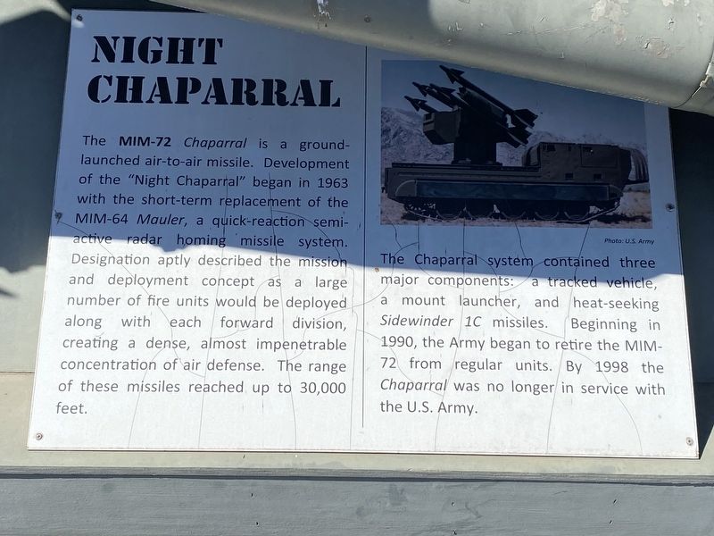
Night Chaparral
Photographed by Darren Jefferson Clay, October 9, 2022
1. Night Chaparral Marker
The Chaparral system contained three major components: a tracked vehicle, a mount launcher, and heat-seeking Sidewinder 1C missiles. Beginning in 1990, the Army began to retire the MIM-72 from regular units. By 1998 the Chaparral was no longer in service with the U.S. Army.
Topics. This historical marker is listed in this topic list: Military.
Location. 34° 48.429′ N, 86° 58.222′ W. Marker is in Athens, Alabama, in Limestone County. It can be reached from Pryor Street West. Touch for map. Marker is at or near this postal address: 114 Pryor St W, Athens AL 35611, United States of
this page online

Regionally, this marker is in North Alabama and in the Huntsville Metropolitan Area. It is also in the American South, specifically in the Deep South, in Appalachia, and specifically in Southern Appalachia. Globally, it is in North America, a Gulf of Mexico state, the Western Hemisphere, the Western World, and the Anglosphere. Historically, it finds itself in what was once the original Cherokee Nation, the territory of the Mississippian Culture, one of the Confederate States of America, and the Antebellum South.
Other nearby markers. At least 8 other markers are within walking distance of this marker: Athens College (about 800 feet away, measured in a direct line); First United Methodist Church (approx. 0.2 miles away); Scenes From Hobbs & Market Streets (approx. 0.2 miles away); Faces of Market Street (approx. ¼ mile away); North Side of Square (approx. ¼ mile away); Limestone County Confederate Memorial (approx. 0.3 miles away); Athens College Veteran's Memorial (approx. 0.3 miles away); A County Older Than the State (approx. 0.3 miles away). Touch for a list and map of all markers in
Photographed by Darren Jefferson Clay, October 9, 2022
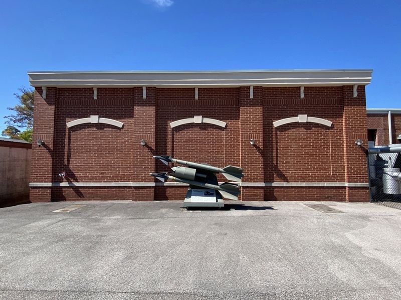
2. Night Chaparral Marker
Credits. This page was last revised on October 13, 2022. It was originally submitted on October 10, 2022, by Darren Jefferson Clay of Duluth, Georgia. This page has been viewed 409 times since then and 23 times this year. Photos: 1, 2. submitted on October 10, 2022, by Darren Jefferson Clay of Duluth, Georgia. • Mark Hilton was the editor who published this page.
