
Indian Head-Leigh in Tallahassee in Leon County, Florida — The American South (South Atlantic)
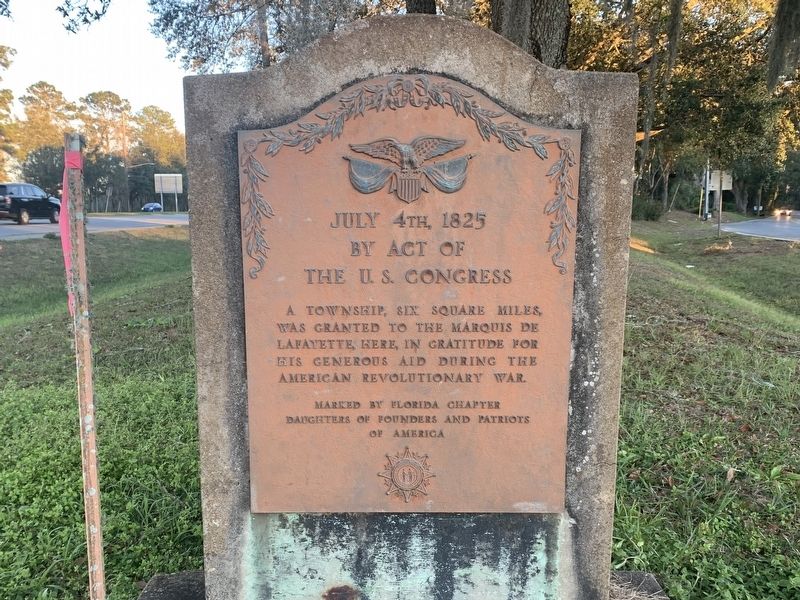
Layfayette Land Grant
Photographed by Tim Fillmon, January 23, 2022
1. Layfayette Land Grant Marker
July 4th, 1825
By Act of the U.S. Congress
A township, six square miles, was granted to the Marquis de Lafayette, here, in gratitude for his generous aid during the American Revolutionary War.
Erected by Florida Chapter Daughters of Founders and Patriots of America.
Topics. This historical marker is listed in this topic list: War, US Revolutionary. A significant historical date for this entry is July 4, 1825.
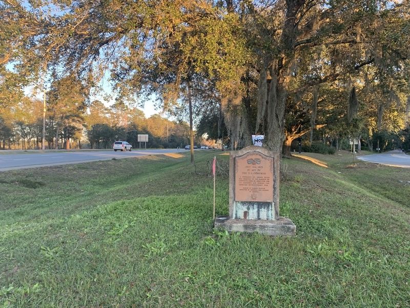
Location. 30° 26.054′ N, 84° 15.331′ W. Marker is in Tallahassee, Florida, in Leon County. It is in Indian Head-Leigh. It is at the intersection of Apalachee Parkway (U.S. 27) and Old St. Augustine Road, on the right when traveling east on Apalachee Parkway. Touch for map. Marker is at or near this postal address: 1583 Apalachee Pkwy, Tallahassee FL 32301, United States of America. Touch for directions.

Regionally, this marker is in North Florida. It is also in the American South and specifically in the Deep South. Globally, it is in the North Atlantic Region, North America, a Gulf of Mexico state, the Western Hemisphere, the Western World, and the Anglosphere. Historically, it finds itself in what was once
this page online
Other nearby markers. At least 8 other markers are within walking distance of this marker: Old Fort Park (approx. ¾ mile away); a different marker also named Old Fort Park (approx. 0.8 miles away); His Dream Dies With Him (approx. 0.8 miles away); Land of the Apalachee (approx. 0.8 miles away); De Soto Winter Encampment Site 1539~1540 (approx. 0.8 miles away); Governor John W. Martin House (approx. 0.8 miles away); a different marker also named The Tallahassee Democrat (approx. 0.9 miles away); Anhaica (approx. one mile away). Touch for a list and map of all markers in Tallahassee.
Other markers no longer nearby. Southern Boundary of Lafayette Land Grant (was about 800 feet away, measured in a direct line but has been confirmed missing); The Tallahassee Democrat (was approx. 0.9 miles away but has been reported to have been replaced with another marker now near it).
Also see . . . Lafayette Land Grant. (Submitted on October 10, 2022, by Tim Fillmon of Webster, Florida.)
Photographed by Tim Fillmon, January 23, 2022
2. Layfayette Land Grant Marker
Credits. This page was last revised on February 12, 2023. It was originally submitted on October 10, 2022, by Tim Fillmon of Webster, Florida. This page has been viewed 582 times since then and 45 times this year. Photos: 1, 2. submitted on October 10, 2022, by Tim Fillmon of Webster, Florida.
