Near Oglesby in LaSalle County, Illinois — The American Midwest (Great Lakes)
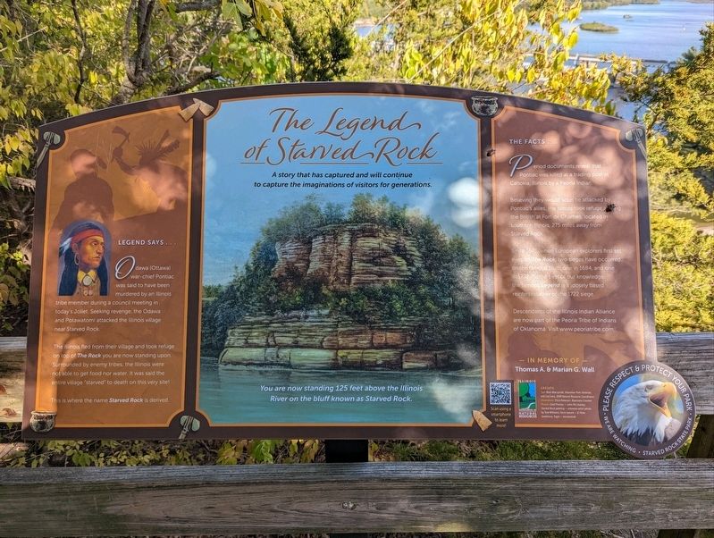
The Legend of Starved Rock
A story that has captured and will continue to capture imaginations of visitors for generations
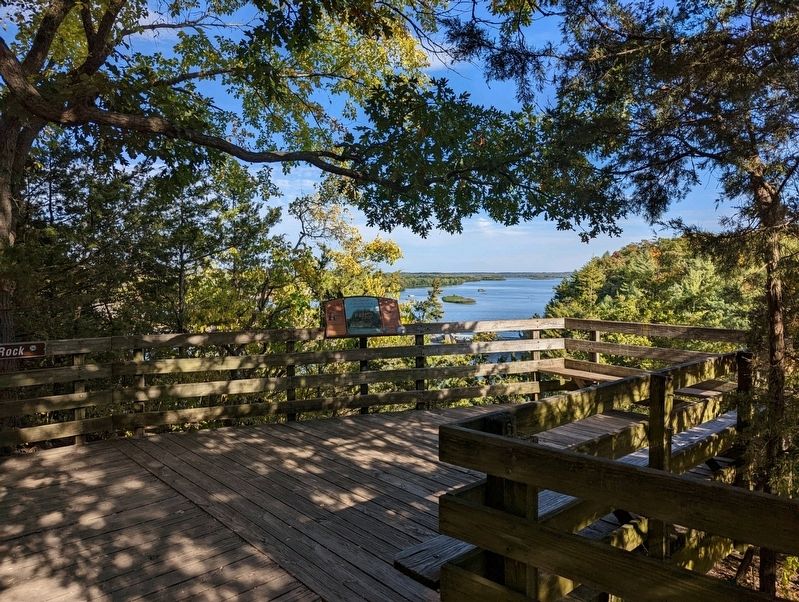
— You are now standing 125 feet above the Illinois River on the bluff known as Starved Rock —
Odawa (Ottawa) war chief Pontiac was said to have been murdered by an Illinois tribe member during a council meeting in today's Joliet. Seeking revenge, the Odawa and Potawatomi attacked the Illinois village near Starved Rock.
The Illinois fled from their village and took refuge on top of The Rock you are now standing upon. Surrounded by enemy tribes, the Illinois were not able to get food nor water. It was said the entre village "starved" to death on this very site!
This where the name Starved Rock is derived.
The Facts
Period documents reveal that Pontiac was killed at a trading post at Cahokia, Illinois by a Peoria Indian.
Believing they would soon be attacked by Pontiac's allies, the Illinois took refuge among the British at Fort de Chartres, located in southern Illinois, 275 miles away from Starved Rock.
Since 1673, when European explorers first set eyes on The Rock, two sieges have occurred on the famous bluff, one in 1684, and one in 1722. To the best of our knowledge, the famous Legend is a loosely based reinterpretation of the 1722 siege.
Descendants of the Illinois Indian Alliance are now part of the Peoria Tribe of Indians of Oklahoma. Visit www.peoriatribe.com
Topics. This historical marker is listed in these topic lists: Exploration • Native Americans. A significant historical year for this entry is 1673.
Location. 41° 19.264′ N, 88° 59.391′ W. Marker is near Oglesby, Illinois, in LaSalle County. Located on the Starved Rock Trail in Starved Rock State Park. Touch for map. Marker is in this post office area: Oglesby IL 61348, United States of America. Touch for directions.
Other nearby markers. At least 8 other markers are within 2 miles of this marker, measured as the crow flies. A New Water Highway (within shouting distance of this marker); This Plaque is Placed in Memory of the Patriots (within shouting distance of this marker); Fort St. Louis (about 400 feet away, measured in a direct line); Commemorating the Deeds of the Union Veterans of the Civil War (about 700 feet away); Starved Rock (approx. 0.2 miles away); René Robert Cavelier Sieur de La Salle (approx. 0.2 miles away); Building Starved Rock Lodge (approx. ¼ mile away); Aitken School (approx. 1.7 miles away). Touch for a list and map of all markers in Oglesby.
Also see . . .
1. Starved Rock State Park. (Submitted on October 11, 2022, by Mike Wintermantel of Pittsburgh, Pennsylvania.)
2. Peoria Tribe - The Indians of Oklahoma. (Submitted on October 11, 2022, by Mike Wintermantel of Pittsburgh, Pennsylvania.)
Credits. This page was last revised on October 11, 2022. It was originally submitted on October 11, 2022, by Mike Wintermantel of Pittsburgh, Pennsylvania. This page has been viewed 324 times since then and 55 times this year. Photos: 1, 2. submitted on October 11, 2022, by Mike Wintermantel of Pittsburgh, Pennsylvania.

