Gananoque in Leeds and Grenville United Counties, Ontario — Central Canada (North America)
Infrastructure / Infrastructures
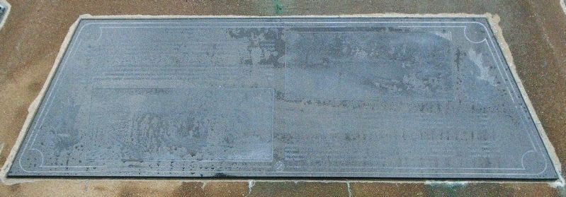
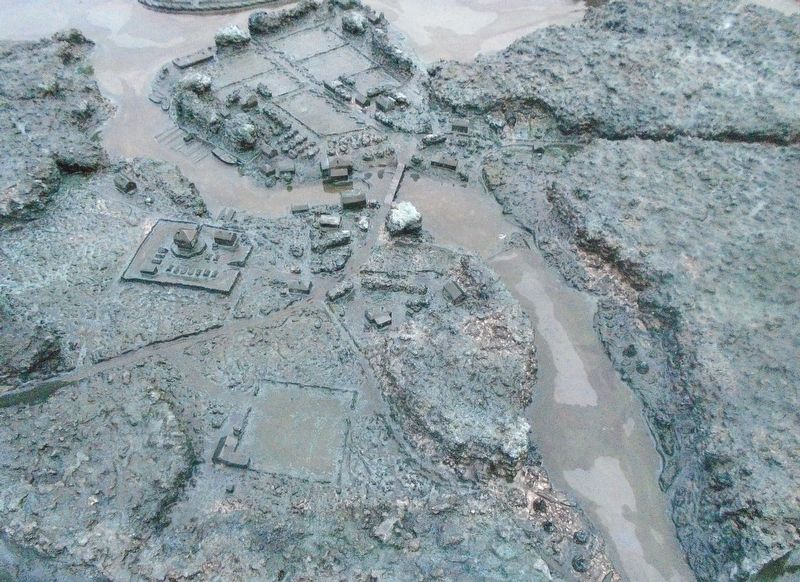
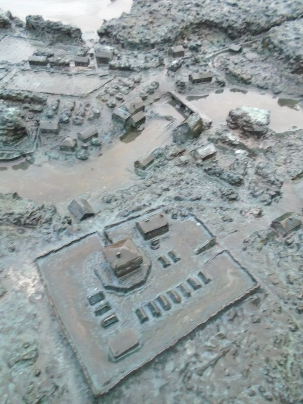
— The Garrison Settlement at Gananoque ca: 1815/16 —
While the St. Lawrence River continued to provide the most efficient route for bulk transportation and commerce, the need for alternate and reliable overland routes was increasing. By the time that Joel Stone settled in Upper Canada, some previously meandering trails and portages had evolved into serviceable roads. To maintain their reliability, these roads were frequently under construction or maintenance. Then as now, there were only two seasons: winter and construction.
Bien que le fleuve Saint-Laurent continuait d'offrir l'itinéraire le plus officace pour le transport de vrac et le besoin de voices terrestres fiables se faisait de plus en plus pressant. À l'époque de l'établissement de Joel Stone dans le Haut-Canada, quelques sentiers sinueux et lieux de portage avaient évolué pour devenir des voles utilisables. Pour en préserver la fiabilité, ces voies faisaient fréquemment l'objet de travaux de construction ou d'entretien. À cette époque, comme aujourd'hui, il semble qu'il n'y avait que deux saisons: l'hiver, et la saison de la construction routière.
Erected by Canadian Heritage, Town of Gananoque, and Concerned Citizens and Service Clubs.
Topics. This historical marker is listed in these topic lists: Industry & Commerce • Roads & Vehicles • Settlements & Settlers. A significant historical year for this entry is 1795.
Location. 44° 19.398′
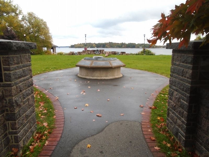
N, 76° 9.738′ W. Marker is in Gananoque, Ontario, in Leeds and Grenville United Counties. Marker is on Water Street just west of Market Street, on the left when traveling west. Marker and Garrison Settlement diorama are located in Joel Stone Heritage Park. Touch for map. Marker is in this post office area: Gananoque ON K7G 2M5, Canada. Touch for directions.
Other nearby markers. At least 8 other markers are within walking distance of this marker. United Empire Loyalist Joel Stone 1749-1833 (here, next to this marker); Taming the Wilderness / Domestiquer la Nature (here, next to this marker); River Traffic / Affluence sur la Rivière (here, next to this marker); The Raid on Gananoque / Le Raid sur la Gananoque (here, next to this marker); The Garrison Settlement / l’Établissement de la Garnison (here, next to this marker); A Bright and Prosperous Future / un Avenir Brillant et Prospère (here, next to this marker); War of 1812-1814 (a few steps from this marker); War Memorial (within shouting distance of this marker). Touch for a list and map of all markers in Gananoque.
More about this marker. The black granite markers are difficult to photograph and have the text legible in the photo.
Also see . . . Joel Stone. (Submitted on October 11, 2022, by William Fischer, Jr. of Scranton, Pennsylvania.)
Credits. This page was last revised on October 11, 2022. It was originally submitted on October 11, 2022, by William Fischer, Jr. of Scranton, Pennsylvania. This page has been viewed 64 times since then and 6 times this year. Photos: 1. submitted on October 11, 2022, by William Fischer, Jr. of Scranton, Pennsylvania. 2, 3, 4. submitted on October 10, 2022, by William Fischer, Jr. of Scranton, Pennsylvania.
Editor’s want-list for this marker. Better close photo of the marker • Can you help?


