Athens in Athens-Clarke County, Georgia — The American South (South Atlantic)
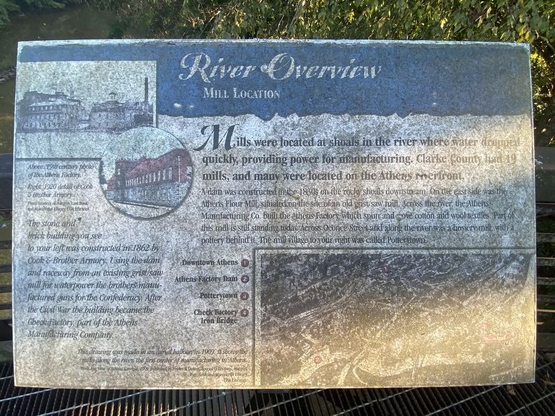
River Overview
Mill Location
A dam constructed in the 1830s on the rocky shoals downstream. On the east side was the Athens Flour Mill, situated on the site of an od grist.saw mill. Across the river, the Athens Manufacturing Co. built the Athens Factory, which spun and wove cotton and wool textiles. Part of this mills still standing today. Across Oconee Street and along the river was a hosiery mill with a pottery behind it. The mill village to your right was called Potterytown.
The stone and brick building you see to your left was constructed in 1862 by Cook & Brother Armory. using the dam and raceway from an existing grist/saw mill for waterpower the brothers manufactured guns for the Confederacy. After the Civil War the building became the Check Factory, part of the Athens Manufacturing Company.
(captions)
Above: 19th century photo of the Athens Factory.
Right: 1920 detail of Cook & Brother Armory.
Photo courtesy Hargrett Rare Book and Manuscript Library, UGA Libraries
This drawing was made in an aerial ballonn in 1909. It shows the mills along the river, the first center of manufacturinhg in Athens.
Birds Eye View of Athens, Georgia, 1909. Published by Fowler & Downs. Special Collections, Hargrett Rare Book and Manuscript Library, UGA Libraries
Topics. This historical marker is listed in these topic lists: Industry & Commerce • War, US Civil.
Location. 33° 57.531′ N, 83° 22.019′ W. Marker is in Athens, Georgia, in Athens-Clarke County. Marker can be reached from East Broad Street east of Wilkerson Street, on the right when traveling east. Located along the Athens-North Oconee River Greenway overlooking the river. Touch for map. Marker is in this post office area: Athens GA 30601, United States of America. Touch for directions.
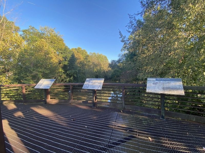
Other nearby markers. At least 8 other markers are within walking distance of this marker. A different marker also named River Overview (here, next to this marker); a different marker also named River Overview (a few steps from this marker); A View to History (within shouting distance of this marker); Water Power (about 300 feet away, measured in a direct line); a different marker also named Water Power (about 300 feet away); Cook & Brother Confederate Armory (about 300 feet away); a different marker also named Water Power (about 300 feet away); Cook & Brother Armory Building (about 300 feet away). Touch for a list and map of all markers in Athens.
Credits. This page was last revised on October 12, 2022. It was originally submitted on October 11, 2022, by Darren Jefferson Clay of Duluth, Georgia. This page has been viewed 79 times since then and 16 times this year. Photos: 1, 2. submitted on October 11, 2022, by Darren Jefferson Clay of Duluth, Georgia. • Bernard Fisher was the editor who published this page.

