Near Middlesboro in Bell County, Kentucky — The American South (East South Central)
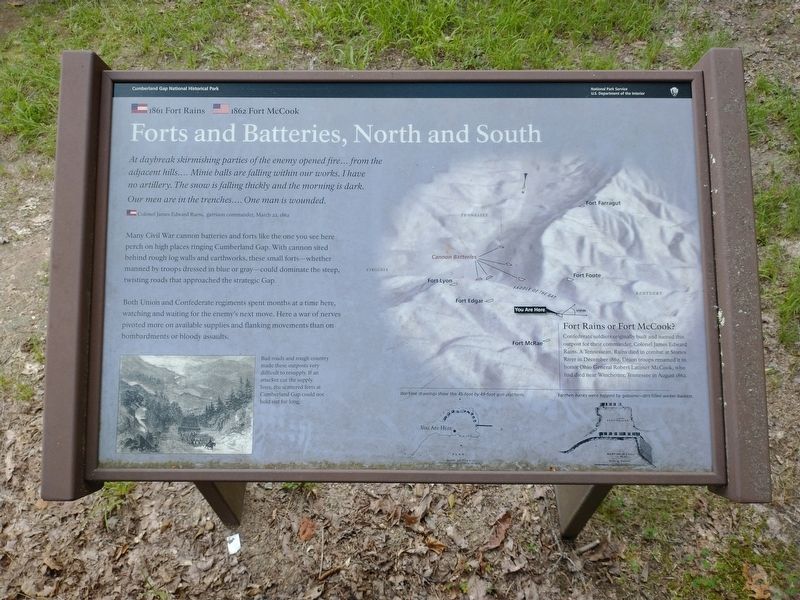
Forts and Batteries, North and South
— Cumberland Gap National Historical Park —
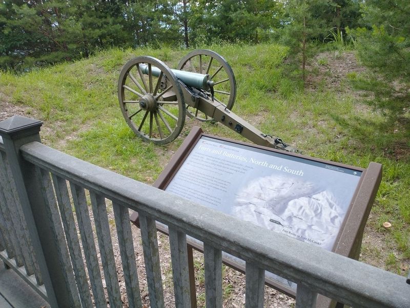
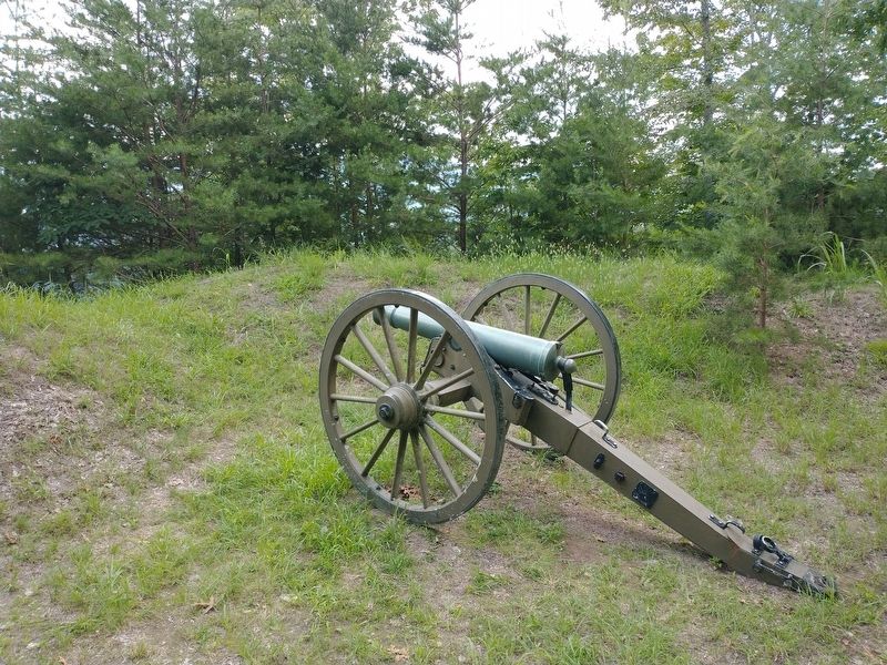
Many Civil War cannon batteries and forts like the one you see here perch on high places ringing Cumberland Gap. With cannon sited behind rough log walls and earthworks, these small forts—whether manned by troops dressed in blue or gray—could dominate the steep, twisting roads that approached the strategic Gap.
Both Union and Confederate regiments spent months at a time here, watching and waiting for the enemy's next move. Here a war of nerves pivoted move on available supplies and flanking movements than on bombardments or bloody assaults.
(captions)
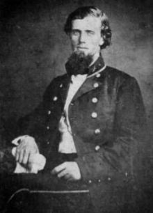
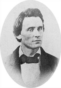
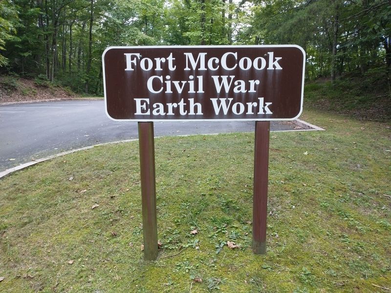
Fort Rains or Fort McCook? Confederate soldiers originally built and named this outpost for their commander Colonel James Edward Rains. A Tennessean, Rains died in combat at Stones River in December 1862. Union troops renamed it to honor Ohio General Robert Latimer McCook, who had died near Winchester, Tennessee in August 1862.
Bad roads and rough country made these outposts very difficult to resupply. If an attacker cut the supply lines, the scattered forts at Cumberland Gap could not hold out for long.
Wartime drawings show this 45-foot by 49-foot gun platform.
Earthen banks were topped by gabions—dirt-filled wicker baskets.
Erected by National Park Service, U.S. Department of the Interior.
Topics. This historical marker is listed in these topic lists: Forts and Castles • War, US Civil. A significant historical date for this entry is March 22, 1862.
Location. 36° 36.52′ N, 83° 40.471′ W. Marker is near Middlesboro, Kentucky, in Bell County. Marker can be reached from Pinnacle View Road, 1.1 miles east of Old Wilderness Road (Kentucky Route 988), on the right when traveling east. Marker is located in the Cumberland Gap National Historical Park. Touch for map. Marker is in this post office area: Middlesboro KY 40965, United States of America. Touch for directions.
Other nearby markers. At least 8 other markers are within walking distance of this marker. Two Armies, One Railroad (within shouting distance of this marker); A Masterful Retreat (approx. 0.2 miles away); Cumberland Gap / Grant Visits Cumberland Gap (approx. 0.2 miles away); Dirt-and-Log Forts (approx. 0.2 miles away); An Object Lesson Road (approx. 0.2 miles away); Two-Way Traffic (approx. 0.2 miles away); a different marker also named An Object Lesson Road (approx. 0.2 miles away); Warriors' Path (approx. ¼ mile away). Touch for a list and map of all markers in Middlesboro.
Also see . . .
1. James Edwards Rains. (Submitted on August 30, 2022, by Tom Bosse of Jefferson City, Tennessee.)
2. Robert Latimer McCook. (Submitted on August 30, 2022, by Tom Bosse of Jefferson City, Tennessee.)
3. Cumberland Gap National Historical Park. National Park Service (Submitted on August 30, 2022.)
Credits. This page was last revised on October 13, 2022. It was originally submitted on August 30, 2022, by Tom Bosse of Jefferson City, Tennessee. This page has been viewed 173 times since then and 31 times this year. Last updated on October 13, 2022. Photos: 1, 2, 3, 4, 5, 6. submitted on August 30, 2022, by Tom Bosse of Jefferson City, Tennessee. • Mark Hilton was the editor who published this page.
