
Near Griffith in Bath County, Virginia — The American South (Mid-Atlantic)
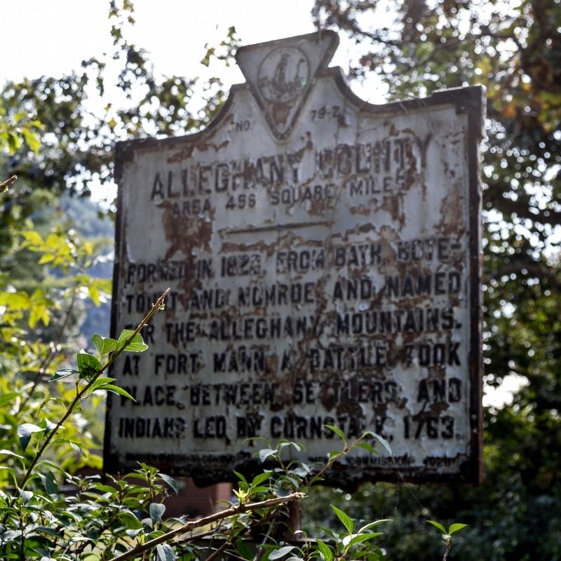
Alleghany County
Area 456 Square Miles
⎯⎯⎯
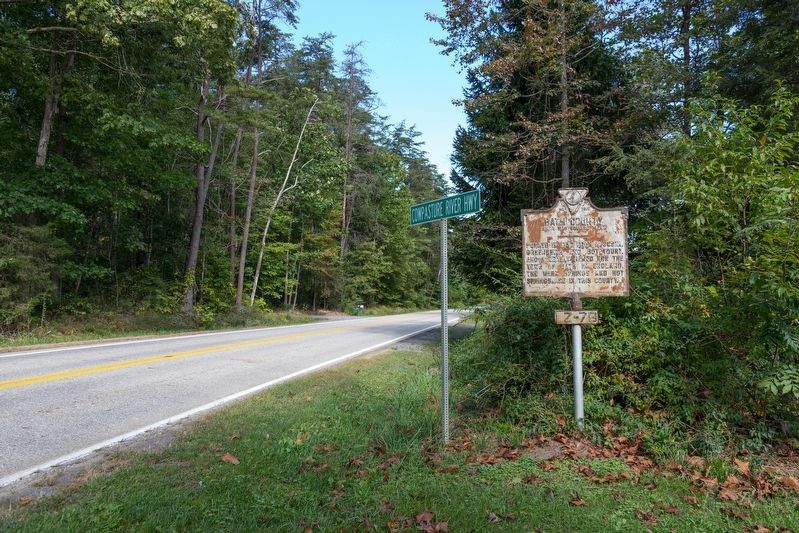
Bath County
Area 545 Square Miles
Photographed by J. J. Prats, September 25, 2022
1. Alleghany County Side of Marker
Alleghany County. Formed in 1822, from Bath, Botetourt and Monroe, and named for the Alleghany Mountains. At Fort Mann a battle took place between settlers and Indians led by Cornstalk, 1763.
Bath County. Formed in 1790, from Augusta, Greenbrier and Botetourt, and probably named for the town of Bath in England. The Warm Springs and Hot Springs are in this county.
Erected 1928 by Conservation & Development Commission. (Marker Number Z-79.)
Topics. This historical marker is listed in this topic list: Political Subdivisions.
Location. 37° 53.124′ N, 79° 45.069′ W. Marker is near Griffith, Virginia, in Bath County. It is on Cowpasture River Highway (Virginia Route 42) 5.3 miles north of Interstate 64, on the right when traveling north. Touch for map. Marker is at or near this postal address: 24 Cowpasture River Hwy, Clifton Forge VA 24422, United States of America. Touch for directions.

Regionally, this marker is in Virginia’s Shenandoah Valley, in the Alleghany Highlands, and specifically in the Potomac Highlands. It is also in the American South, specifically
this page online
Other nearby markers. At least 8 other markers are within 7 miles of this marker, measured as the crow flies: Douthat State Park (approx. 4.8 miles away); Robert Gallaspy Land Grant (approx. 6.2 miles away); Roger Arliner Young (approx. 6.2 miles away); World War I Memorial (approx. 6.2 miles away); Fire Department World War Memorial (approx. 6.2 miles away); World War Memorial (approx. 6.2 miles away); All Wars Memorial (approx. 6.2 miles away); Veterans Memorial (approx. 6.3 miles away).
More about this marker. This marker is a few hundred feet north of the green county line signs.

Photographed by J. J. Prats, September 25, 2022
2. Bath County Side of Marker
Photographed by J. J. Prats, September 25, 2022
3. Bath County Side of Marker
Photographed by J. J. Prats, September 25, 2022
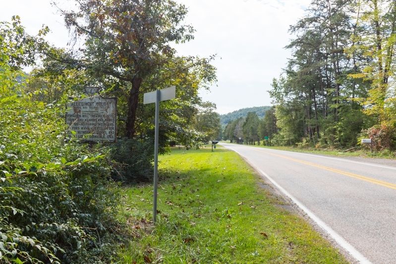
4. Alleghany County Side of Marker
Impossible to see when traveling south, especially when it needs repainting and a low winter sun is shining in your eyes.
Credits. This page was last revised on October 14, 2022. It was originally submitted on October 14, 2022, by J. J. Prats of Powell, Ohio. This page has been viewed 337 times since then and 27 times this year. Photos: 1, 2, 3, 4. submitted on October 14, 2022, by J. J. Prats of Powell, Ohio.
