
Near Middlesboro in Bell County, Kentucky — The American South (East South Central)
The Old Home Place
| — | Cumberland Gap National Historical Park | — |
September 30, 2022
1. The Old Home Place Marker
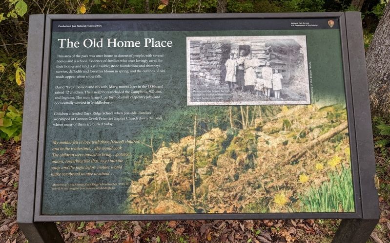
David "Pres" Beason and his wife, Mary, moved here in the 1880s and raised 12 children. Their neighbors included the Campbells, Wilsons, and Ingrams. The men farmed, performed small carpentry jobs, and occasionally worked in Middlesboro.
Children attended Dark Ridge School when possible. Families worshiped at Cannon Creek Primitive Baptist Church down the road, where many of them are buried today.
My mother fell in love with those [school] children, and in the wintertime...she would cook. The children were invited to bring...potatoes, onions, something like that, to go into the soup, and the night before mother would make cornbread to take to school...
- Memories of Lola Ausmus, Dark Ridge School teacher (1943-44) as told by her daughter Jean Ausmus of Middlesboro
(caption)
Members of the Beason family behind the kitchen of their Davis Branch home, circa 1920s
Erected by National
this page online
Topics. This historical marker is listed in this topic list: Settlements & Settlers.
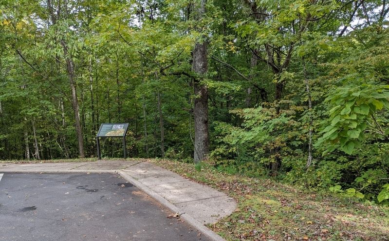
Location. 36° 38.043′ N, 83° 40.424′ W. Marker is near Middlesboro, Kentucky, in Bell County. It is on Sugar Run Overlook Road (Kentucky Route 988), on the right when traveling north. Marker is a wayside exhibit in a small parking lot. Touch for map. Marker is in this post office area: Middlesboro KY 40965, United States of America. Touch for directions.

Regionally, this marker is in Eastern Kentucky and in the Cumberland Plateau. It is also in the American South, specifically in the Upper South, in Appalachia, and specifically in Southern Appalachia. Globally, it is in North America, the Western Hemisphere, the Western World, and the Anglosphere. Historically, it finds itself in what was once the territory of the Mississippian Culture and also the Antebellum South.
Other nearby markers. At least 8 other markers are within 2 miles of this marker, measured as the crow flies: Dirt-and-Log Forts (approx. 1.7 miles away); A Masterful Retreat
September 30, 2022
2. The Old Home Place Marker
Other markers no longer nearby. Dirt-and-Log Forts (was approx. 1.7 miles away but has been reported to have been replaced with another marker now near it); Defense of the Gap (was approx. 1.8 miles away but has been permanently removed).
Credits. This page was last revised on October 17, 2022. It was originally submitted on October 14, 2022. This page has been viewed 350 times since then and 29 times this year. Photos: 1, 2. submitted on October 14, 2022. • Mark Hilton was the editor who published this page.
