Hayward in Alameda County, California — The American West (Pacific Coastal)
Search for Water
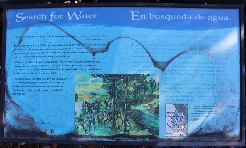
”The plague of long-billed mosquitos…bite us and pursued us all the way to the place where we camped”
- Padre Pedro Font
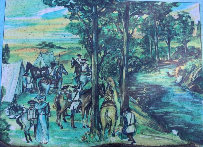
Padre Font was not happy. Setting up camp that March 31, 1776, he had come over a thousand miles from his home in Mexico while ministering to colonists, soldiers, and workers. Conflicts with Commander Anza, contact with new tribes, and a search for the Sacramento River had keft him fatigued. Mosquitos were simply another irritant.
At San Lorenzo Creek, Font got some needed rest. As Anza, Font, and a dozen soldiers watched the night sky, they reflected. They had safely brought nearly 200 settlers to San Francisco to protect this distant corner of the Spanish Empire. There, those families would build a presidio and a new way of life.
The next morning, Font broke camp with a quick prayer after drawing this creek on his map. But it would be another generation before descendants of those first San Francisco colonists settled along the creeks of the East Bay.
Commander Juan Bautista de Anza led an exploration party though the East Bay in 1776. Padre Pedro Font mapped the journey. Arroyo de la Harina is what we now call San Lorenzo Creek.
En busqueda de agua
”La plaga de mosquitos de pico largo…nos muerden y nos persiguen hasta el lugar donde acampamos.”
- Padre Pedro Font
El Padre no estaba alegre. Habiendo acampado ese 31 de marzo, 1776, el había viajado mas de mil millas donde su hogar an Mexico mientras servía a [? ? ?] y trabajadores. Confilctos con el commandante Anza, contacto con nuevas tribas, y la búsqueda del Rios Sacramento [?] habian dejado fatigado. Los mosquitos eran simplemente otro irritante.
En el arroyo San Lorenzo Font [?] un bien merecido Descanso. Como Anza, Font y una docena de soldados [? ?] nocturno ellos reflexionaban. Habían llevado a casí 200 colonizadores a San Francisco sin accidente, para proteger esta esquina lejana del Imperio Español. Allí, esas familias construirían un presidio y una nueva manera de vivir.
La mañana siguiente, Font deshizo campamento con una oración rápida despues de dibujar este arroyo en se mapa. Pero sería otra generación antes de que los descendientes de esos primeros colonos de San Francisco se instalaran a la largo del arroyo del Este de la Bahía.
This project was funded in part by the National Park Service Challenge Cost Share Program.
Alameda Clean Water Program
Parks and Water Bond 2000
Hayward Area Recreation and Park District
Hayward Area Historical Society
Juan Bautista De Anza National Historic Trail
Erected by National Park Service.
Topics and series. This historical marker is listed in these topic lists: Exploration • Settlements & Settlers • Waterways & Vessels. In addition, it is included in the Juan Bautista de Anza National Historic Trail series list. A significant historical date for this entry is March 31, 1776.
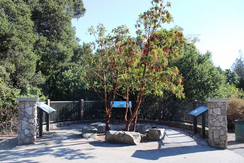
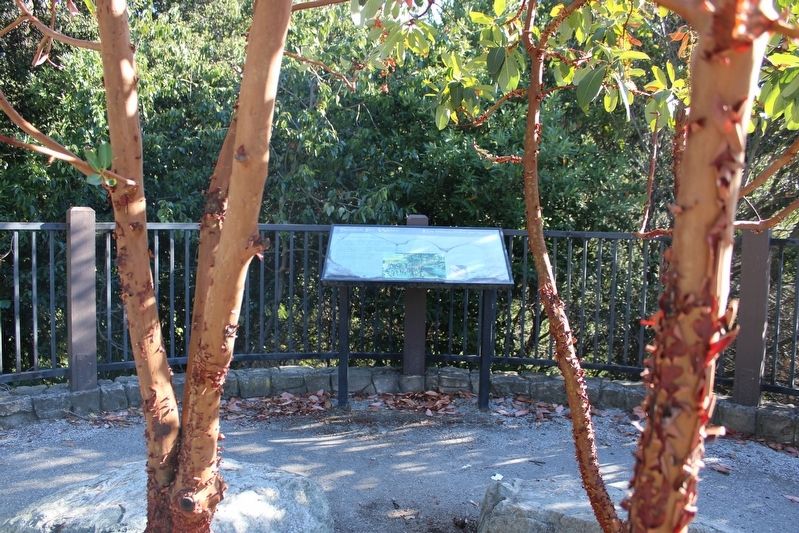
Location. 37° 40.691′ N, 122° 4.871′ W. Marker is in Hayward, California, in Alameda County. Marker is on City Center Drive near 2nd Street, on the right when traveling east. The resin marker is mounted to a metal stand in a small plaza between City Center Drive and San Lorenzo Creek. Touch for map. Marker is in this post office area: Hayward CA 94541, United States of America. Touch for directions.
Other nearby markers. At least 8 other markers are within walking distance of this marker. A Chance Encounter (here, next to this marker); Legacy of Change (here, next to this marker); Hisako Uyama Partridge (about 300 feet away, measured in a direct line); Friendship Monument (about 400 feet away); Juan Bautista de Anza Expedition Campsite #98 (about 600 feet away); I.D.E.S. Council Hayward #14 (approx. 0.4 miles away); The Palmtag Building (approx. 0.4 miles away); NSGW Hall - Eden Parlor No. 113 (approx. half a mile away). Touch for a list and map of all markers in Hayward.
Also see . . . Juan Bautista de Anza National Historic Trail. San Lorenzo Creek and Expedition Camp #98 near the bottom of the page.
"José Soberanes, who came as a guide from Monterey, told father Font this creek was called Arroyo de la Harina after a load of flour that got wet during the prior journey of Pedro Fages."(Submitted on October 17, 2022, by Joseph Alvarado of Livermore, California.)
Credits. This page was last revised on October 18, 2022. It was originally submitted on October 17, 2022, by Joseph Alvarado of Livermore, California. This page has been viewed 90 times since then and 22 times this year. Photos: 1, 2, 3, 4. submitted on October 17, 2022, by Joseph Alvarado of Livermore, California.


