Middletown Township near Highlands in Monmouth County, New Jersey — The American Northeast (Mid-Atlantic)
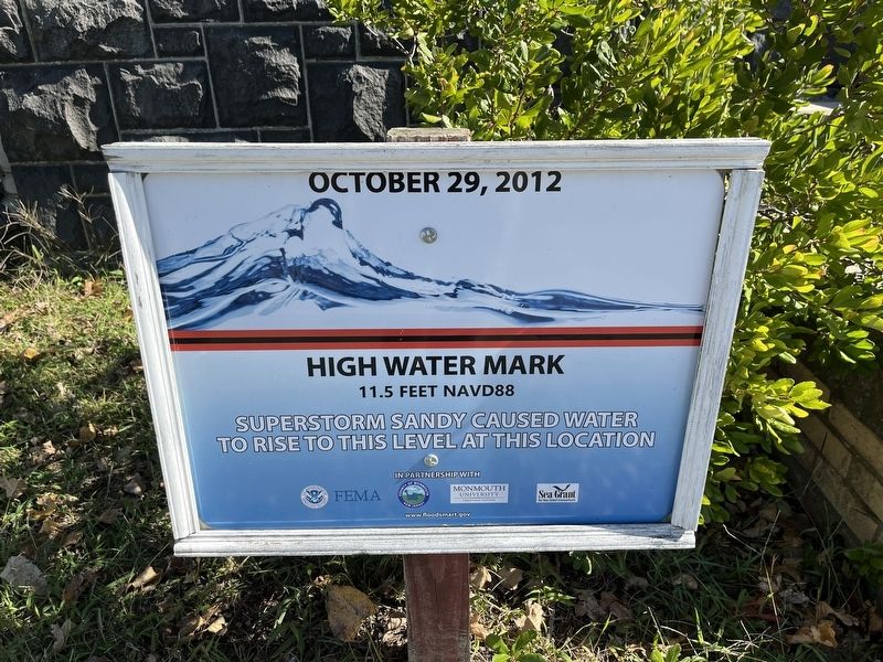
Superstorm Sandy High Water Mark

Photographed By Devry Becker Jones (CC0), October 15, 2022
1. Superstorm Sandy High Water Mark Marker
High Water Mark
11.5 feet NAVD88
Superstorm Sandy caused water to rise to this level at this location.
Erected by FEMA; County of Monmouth, New Jersey; Monmouth University; NJ Sea Grant Consortium.
Topics. This historical marker is listed in these topic lists: Disasters • Waterways & Vessels. A significant historical date for this entry is October 29, 2012.
Location. 40° 27.55′ N, 74° 0.168′ W. Marker is near Highlands, New Jersey, in Monmouth County. It is in Middletown Township. Marker can be reached from the intersection of Magruder Road and Gunnison Road, on the right when traveling south. Touch for map. Marker is at or near this postal address: 22 Magruder Rd, Highlands NJ 07732, United States of America. Touch for directions.
Other nearby markers. At least 8 other markers are within walking distance of this marker. This Is Why It’s Called Sandy Hook! (within shouting distance of this marker); Sandy Hook Barracks Building #22 Built 1899 (within shouting distance of this marker); New York Yankees vs. Hometown Sluggers (within shouting distance of this marker); NOAA Fisheries Service (about 300 feet away, measured in a direct line); Company, Attention! (about 400 feet away); Just Like A Small Town (about 600 feet away); Chow Time! (about 600 feet away); Women's Army Corps (WAC) (about 600 feet away). Touch for a list and map of all markers in Highlands.

Photographed By Devry Becker Jones (CC0), October 15, 2022
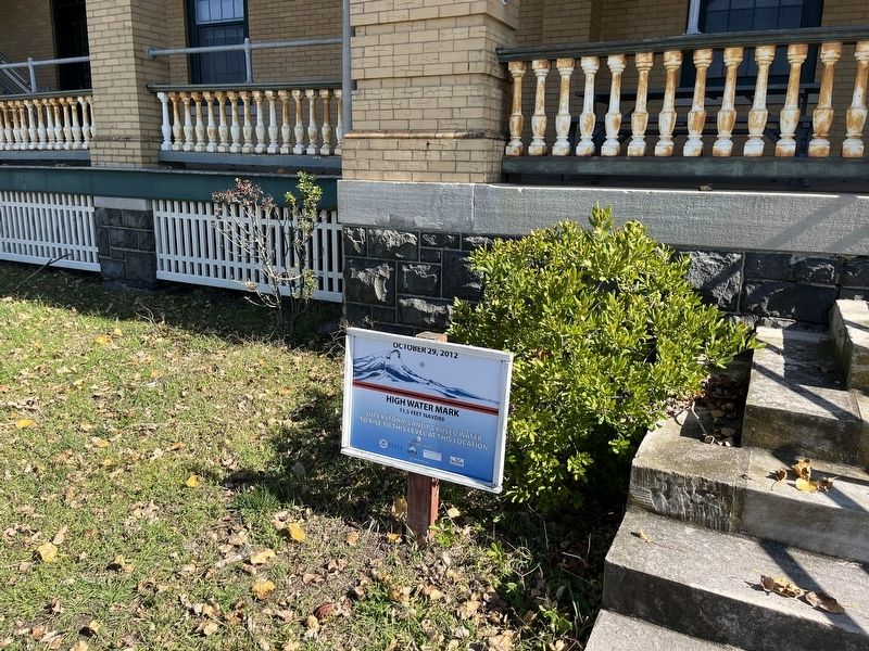
2. Superstorm Sandy High Water Mark Marker
Credits. This page was last revised on February 7, 2023. It was originally submitted on October 18, 2022, by Devry Becker Jones of Washington, District of Columbia. This page has been viewed 80 times since then and 14 times this year. Photos: 1, 2. submitted on October 18, 2022, by Devry Becker Jones of Washington, District of Columbia.