Bloomfield in Stoddard County, Missouri — The American Midwest (Upper Plains)
The Civil War Hospitals of Bloomfield
Inscription.
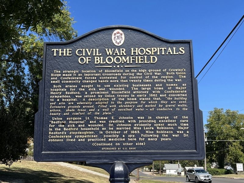
The strategic location of Bloomfield on the high ground of Crowley's Ridge made it an important crossroads during the Civil War. Both Union and Confederate forces contested for control of the region. The small community changed hands more than twenty times during the war.
Both armies sought to use existing businesses and homes as hospitals for the sick and wounded. The large home of Major Henry Bedford, a prominent Bloomfield attorney with Confederate sympathies, was seized by Union troops in early 1862 and converted to a hospital. A description of the home stated that, "the building and site are admirably adapted to the purpose for which they are used. Extensive grounds around, filled with shrubbery and marked by gravel walks, arbors, shade trees and a well of excellent water - all conducive to the beauty and comfort of the place."
Union surgeon Lt. Thomas E. Johnson was in charge of the "Bedford Hospital" and was credited with providing excellent care for the sick and wounded. Dr. Johnson evidently spent much time in the Bedford household as he married Miss Laura Robinson, Major Bedford's stepdaughter, in October of 1863. Miss Robinson was a Confederate sympathizer, possibly a spy. Following the war Dr. Johnson lived and practiced medicine here for many years.
(Back):
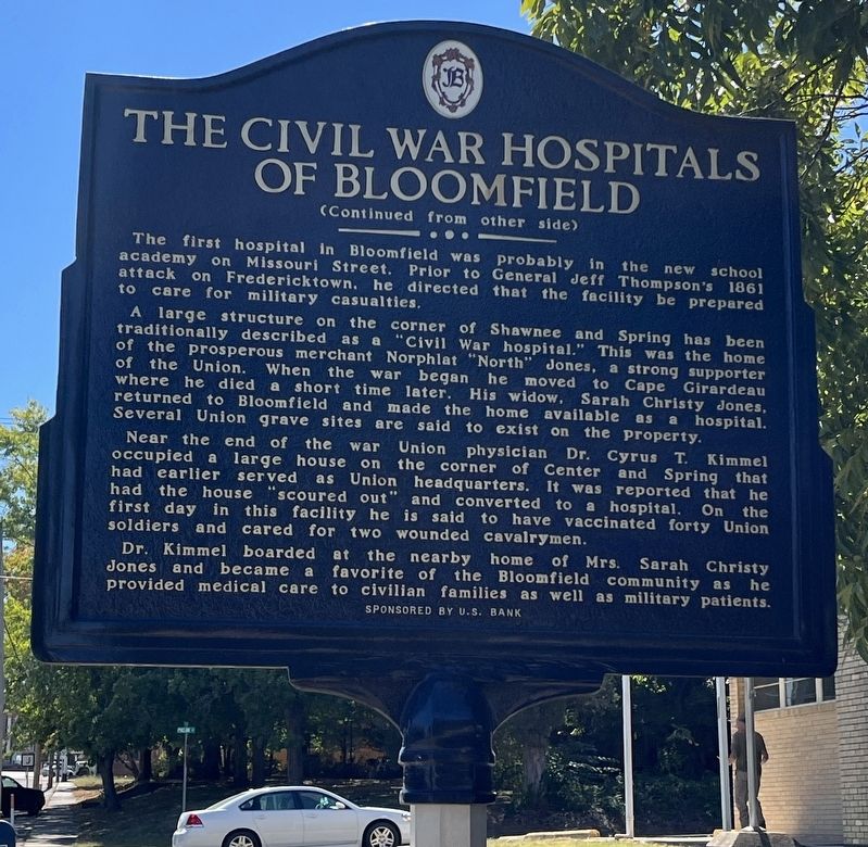
The first hospital in Bloomfield was probably in the new school academy on Missouri Street. Prior to General Jeff Thompson's 1861 attack on Fredericktown, he directed that the facility be prepared to care for military casualties.
A large structure on the corner of Shawnee and Spring has been traditionally described as a "civil War hospital." This was the home of the prosperous merchant Norphlat "North" Jones, a strong supporter of the Union. When the war began he moved to Cape Girardeau where he died a short time later. His widow, Sarah Christy Jones, returned to Bloomfield and made the home available as a hospital. Several Union grave sites are said to exist on the property.
Near the end of the war Union physician Dr. Cyrus T. Kimmel occupied a large house on the corner of Center and Spring that had earlier served as Union headquarters. It was reported that he had the house "scoured out" and converted to a hospital. On the first day in this facility he is said to have vaccinated forty Union soldiers and cared for two wounded cavalrymen.
Dr. Kimmel boarded at the nearby home of Mrs. Sarah Christy Jones and became a favorite of the Bloomfield community as he provided medical care to civilian families as well as military patients.
Topics. This historical marker is listed
in this topic list: War, US Civil. A significant historical month for this entry is October 1863.
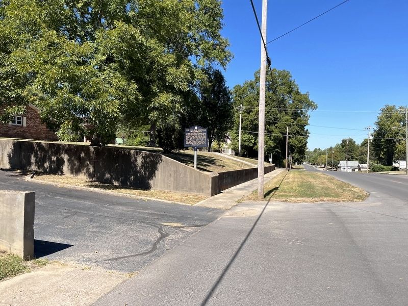
Location. 36° 53.255′ N, 89° 55.751′ W. Marker is in Bloomfield, Missouri, in Stoddard County. Marker is at the intersection of North Prairie Street (County Highway AA) and Phelan Street, on the right when traveling south on North Prairie Street. Touch for map. Marker is in this post office area: Bloomfield MO 63825, United States of America. Touch for directions.
Other nearby markers. At least 8 other markers are within walking distance of this marker. The Execution of Asa V. Ladd (approx. 0.2 miles away); Stoddard Countians Aboard the C.S. Arkansas (approx. 0.2 miles away); The Bloomfield Academy (approx. 0.2 miles away); The Civil War in Bloomfield (approx. 0.2 miles away); Major Amos Stoddard (approx. 0.2 miles away); The History of Bloomfield High School (approx. ¼ mile away); The First Stars and Stripes (approx. ¼ mile away); Mutiny in Bloomfield (approx. ¼ mile away). Touch for a list and map of all markers in Bloomfield.
Credits. This page was last revised on October 18, 2022. It was originally submitted on October 18, 2022, by Craig Swain of Leesburg, Virginia. This page has been viewed 289 times since then and 69 times this year. Photos: 1, 2, 3. submitted on October 18, 2022, by Craig Swain of Leesburg, Virginia.


