Marker Logo
THE HISTORICAL
MARKER DATABASE
“Bite-Size Bits of Local, National, and Global History”
New Llano in Vernon Parish, Louisiana — The American South (West South Central)
 

Llano Del Rio

Co-Operative Colony

— New Llano — “Yano” —


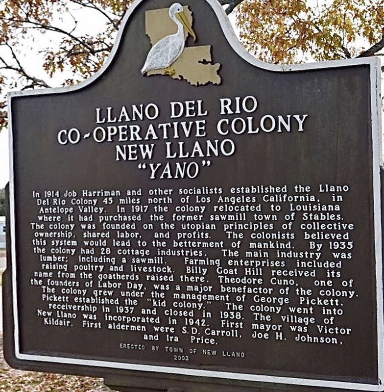
Llano Del Rio Marker image. Click for full size.
Photographed by Craig Baker, 2017
1. Llano Del Rio Marker
Inscription. In 1914 Job Harriman and other socialists established the Llano Del Rio Colony 45 miles north of Los Angeles California, in Antelope Valley. In 1917 the colony relocated to Louisiana where it had purchased the former sawmill town of Stables. The colony was founded on the utopian principles of collective ownership, shared labor, and profits. The colonists believed this system would lead to the betterment of mankind. By 1935 the colony had 28 cottage industries. The main industry was lumber: including a sawmill. Farming enterprises included raising poultry and livestock. Billy Goat Hill received its name from the goat herds raised there. Theodore Cuno, one of the founders of Labor Day, was a major benefactor of the colony. The colony grew under the management of George Pickett. Pickett established the “kid colony.” The colony went into receivership in 1937 and closed in 1938. The village of New Llano was incorporated in 1942. First mayor was Victor Kildair. First aldermen were S. D. Carroll, Joe H. Johnson, and Ira Price.
 
Erected 2003 by Town of New Llano.
 
Topics. This historical marker is listed
Paid Advertisement
Click or scan to see
this page online
in these topic lists: AgricultureGovernment & PoliticsIndustry & CommerceSettlements & Settlers. A significant historical year for this entry is 1914.
 
Location. 31° 6.935′ N, 93° 16.399′ W. Marker is in New Llano, Louisiana, in Vernon Parish. It is on Stanton Street 0.1 miles west of U.S. 171, on the left when traveling west. Located in front of New Llano City Hall. Touch for map. Marker is at or near this postal address: 109 Stanton St, New Llano LA 71461, United States of America. Touch for directions.

Regionally, this marker is in Central Louisiana. It is also in the American South, specifically in the Deep South, and in the Piney Woods. Globally, it is in North America, a Gulf of Mexico state, the Western Hemisphere, the Western World, and the Anglosphere. Historically, it finds itself in what was once the territory of the Mississippian Culture, the Louisiana Purchase, one of the Confederate States of America, and the Antebellum South.

Other nearby markers. At least 8 other markers are within 2 miles of this marker, measured as the crow flies: Pioneer Park (approx. 1½ miles away); Kansas City Southern Railroad Depot
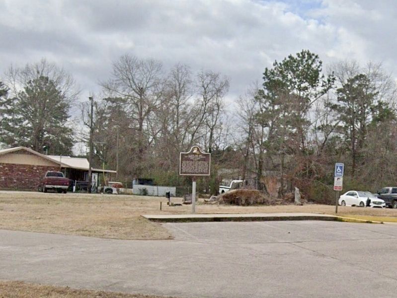
Llano Del Rio Marker image. Click for full size.
courtesy Google Street View, 2017
2. Llano Del Rio Marker
(approx. 1.6 miles away); Sgt. Abraham Lincoln "Abe" Allen (approx. 1.6 miles away); Life Along The Sabine River (approx. 1.6 miles away); Saint Michael The Archangel Catholic Church 1913 (approx. 1.7 miles away); Vernon Baptist Association (approx. 1.8 miles away); Phillip Nolan (approx. 1.9 miles away); First National Bank (approx. 2 miles away).
 
 
Credits. This page was last revised on October 19, 2022. It was originally submitted on October 19, 2022, by Craig Baker of Sylmar, California. This page has been viewed 446 times since then and 66 times this year. Photos:   1, 2. submitted on October 19, 2022, by Craig Baker of Sylmar, California.

m=208278

CeraNet Cloud Computing sponsors the Historical Marker Database.
This website earns income from purchases you make after using our links to Amazon.com. We appreciate your support.
Paid Advertisement
Jul. 23, 2026