Ajax in Durham Region, Ontario — Central Canada (North America)
The Founding of Pickering
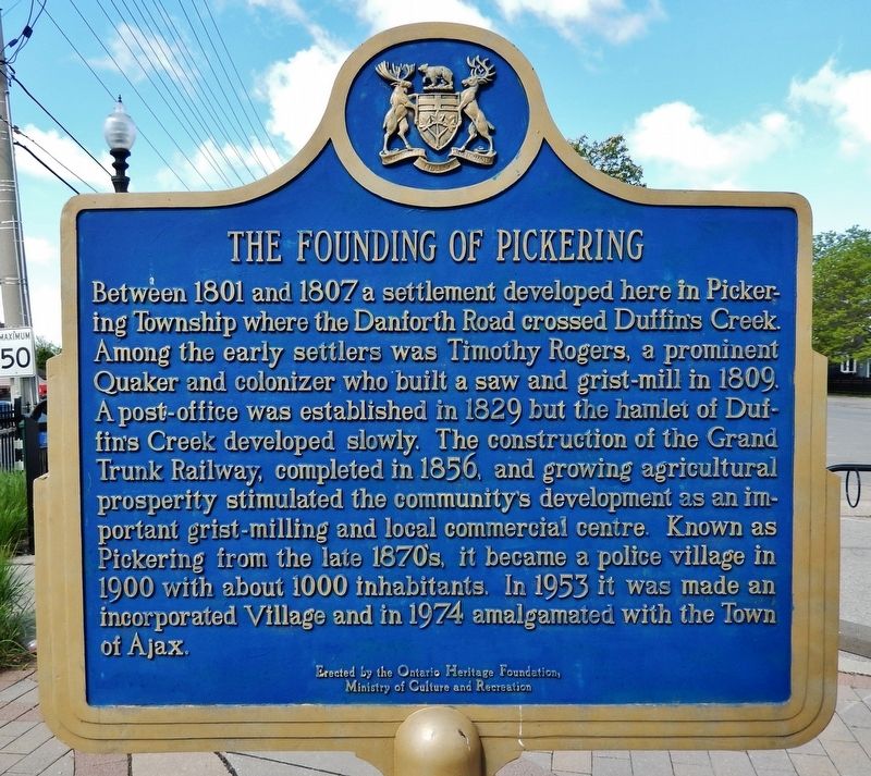
Between 1801 and 1807 a settlement developed here in Pickering Township where the Danforth Road crossed Duffin's Creek. Among the early settlers was Timothy Rogers, a prominent Quaker and colonizer who built a saw and grist-mill in 1809. A post-office was established in 1829 but the hamlet of Duffin's Creek developed slowly. The construction of the Grand Trunk Railway, completed in 1856, and growing agricultural prosperity stimulated the community's development as an important grist-milling and local commercial centre. Known as Pickering from the late 1870's, it became a police village in 1900 with about 1000 inhabitants. In 1953 it was made an incorporated Village and in 1974 amalgamated with the Town of Ajax.
Erected by Ontario Heritage Foundation, Ministry of Culture and Recreation.
Topics and series. This historical marker is listed in these topic lists: Agriculture • Industry & Commerce • Railroads & Streetcars • Settlements & Settlers. In addition, it is included in the Canada, Ontario Heritage Foundation series list. A significant historical year for this entry is 1801.
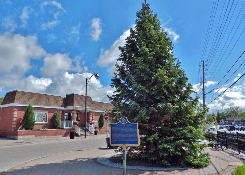
Location. 43° 51.261′ N, 79° 3.413′ W. Marker is in Ajax, Ontario, in Durham Region. Marker is on Old Kingston Road just west of Church Street North , on the left when traveling west. Marker is located in the triangular plaza between Old Kingston Road and Kingston Road West (Durham Regional Highway 2). Touch for map. Marker is at or near this postal address: 32 Old Kingston Road, Ajax ON L1T 2Z7, Canada. Touch for directions.
Other nearby markers. At least 8 other markers are within 10 kilometers of this marker, measured as the crow flies. The Village Bell (a few steps from this marker); St. George's Anglican Church & Cemetery (about 120 meters away, measured in a direct line); Whitby’s Name Change, 1847 (approx. 9.3 kilometers away); Traditional Territories of the Mississaugas of Scugog Island (approx. 9.4 kilometers away); Merryweather Steam Fire Engine, 1872 (approx. 9.4 kilometers away); The Terrace (approx. 9.5 kilometers away); May Irwin, 1862-1938 (approx. 9.5 kilometers away); Carnegie Public Library, 1913 (approx. 9.5 kilometers away). Touch for a list and map of all markers in Ajax.
More about this marker. Both sides of this marker have the same inscription.
Also see . . .
1. Pickering.
Records indicate there were about 800 settlers living in the Township of Pickering in 1825. The area was heavily wooded. There were three sawmills and some shipbuilding at the mouth of the Rouge River. The area also attracted farmers from Britain and the United States. By 1850, when Pickering became a county, it had a population of over 6,000. In the 1870s, the Frenchman’s Bay Harbour Company built a lighthouse, wharf and grain elevator at Frenchman’s Bay. A small village grew up around this development.(Submitted on October 20, 2022, by Cosmos Mariner of Cape Canaveral, Florida.)
2. Pickering, Ontario.
Pickering Village, now part of Ajax, emerged as the major population and commercial centre in the early 19th century. The conversion of a local trail into the Kingston Road in 1799 contributed greatly to the increased settlement in the area. In 1807, Quakers led by Timothy Rogers settled in the area, and by 1809, the population of Pickering Township consisted of 180 people, most of whom lived along the Duffins Creek. Several sawmills, gristmills, taverns, and other businesses operated in the area.(Submitted on October 20, 2022, by Cosmos Mariner of Cape Canaveral, Florida.)On 1 January 1974, the Ontario County was dissolved, and the area became part of the Regional Municipality of Durham. The southeastern portion of the Pickering Township, including the Pickering Village and Pickering High School, became part of the independent town of Ajax. The rest of the township became the Town of Pickering, which in 2000, became the City of Pickering.
3. The Pickering Power Plant.
A major landmark in the Frenchman's Bay is the Pickering Nuclear Generating Station. It was put into commercial use Between 1971 and 1973 and has been a big part of Pickering's identity ever since. Since power plants need to be situated near a body of water, the Frenchman's Bay region was a perfect location.(Submitted on October 20, 2022, by Cosmos Mariner of Cape Canaveral, Florida.)
Credits. This page was last revised on October 20, 2022. It was originally submitted on October 20, 2022, by Cosmos Mariner of Cape Canaveral, Florida. This page has been viewed 144 times since then and 39 times this year. Photos: 1, 2. submitted on October 20, 2022, by Cosmos Mariner of Cape Canaveral, Florida.

