Near Garretson in Minnehaha County, South Dakota — The American Midwest (Upper Plains)
Norway Lutheran Church
October 8, 2022
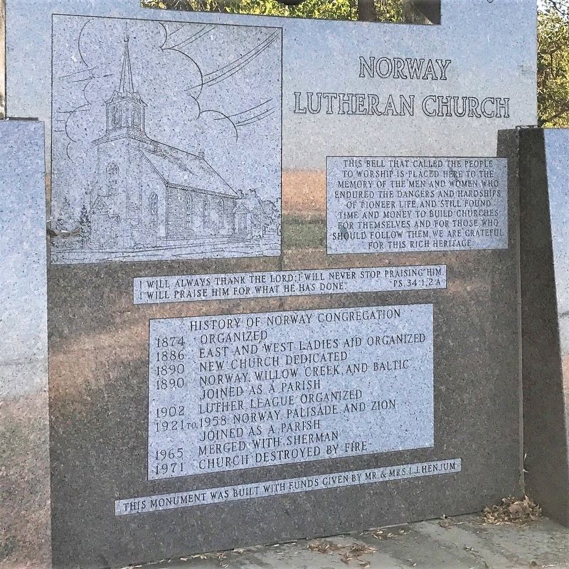
1. Norway Lutheran Church Marker
I will always thank the Lord; I will never stop praising him. I will praise him for what he has done. Ps. 34:1,2a
History of Norway Congregation
1874 Organized
1886 East and West Ladies Aid organized
1890 New church dedicated
1890 Norway, Willow Creek, and Baltic joined as a parish
1902 Luther League organized
1921 to 1958 Norway, Palisade, and Zion joined as a parish
1965 Merged with Sherman
1971 Church destroyed by fire
Erected by Mr. & Mrs. I. J. Henjum.
Topics and series. This historical marker is listed in these topic lists: Religion & Religious Structures • Settlements & Settlers. In addition, it is included in the Historic Bells, and the Norwegian-Americans series lists. A significant historical year for this entry is 1874.
Location. 43° 43.907′ N, 96° 35.386′ W. Marker is near Garretson, South Dakota,
this page online

Regionally, this marker is in the Yankton Sioux Tribe, in East River, and in Greater Sioux Falls. It is also in the American Midwest, in the Lewis & Clark Corridor, in the Corn Belt, on the prairies, and on the Northern Plains. Globally, it is in North America, the Western Hemisphere, the Western World, and the Anglosphere. Historically, it finds itself in what was once Rupert’s Land and also the Louisiana Purchase.
Other nearby markers. At least 8 other markers are within 5 miles of this marker, measured as the crow flies: Eleven Original Pioneer Families (here, next to this marker); a different marker also named Norway Lutheran Church (a few steps from this marker); St. Paulus Lutheran (approx. 2 miles away); Garretson (approx. 4.4 miles away); Festival of Progress (approx. 4½ miles away); Village of Palisades (approx. 4½ miles away);
October 8, 2022
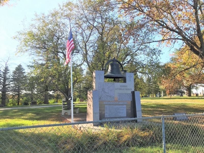
2. Norway Lutheran Church Marker in Norway Lutheran Cemetery
October 8, 2022
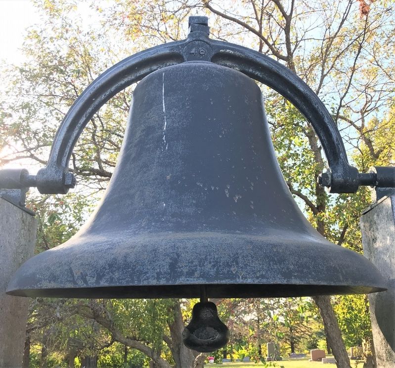
3. Norway Lutheran Church Bell
Credits. This page was last revised on October 21, 2022. It was originally submitted on October 21, 2022. This page has been viewed 515 times since then and 60 times this year. Photos: 1, 2, 3. submitted on October 21, 2022.
