Cobalt in Timiskaming District, Ontario — Central Canada (North America)
Cobalt Mining / L’exploitation Minière de Cobalt
Inscription.
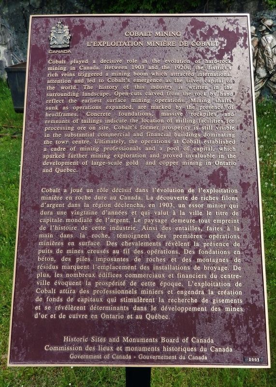
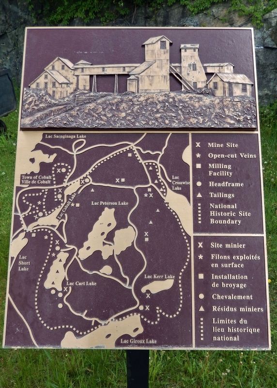
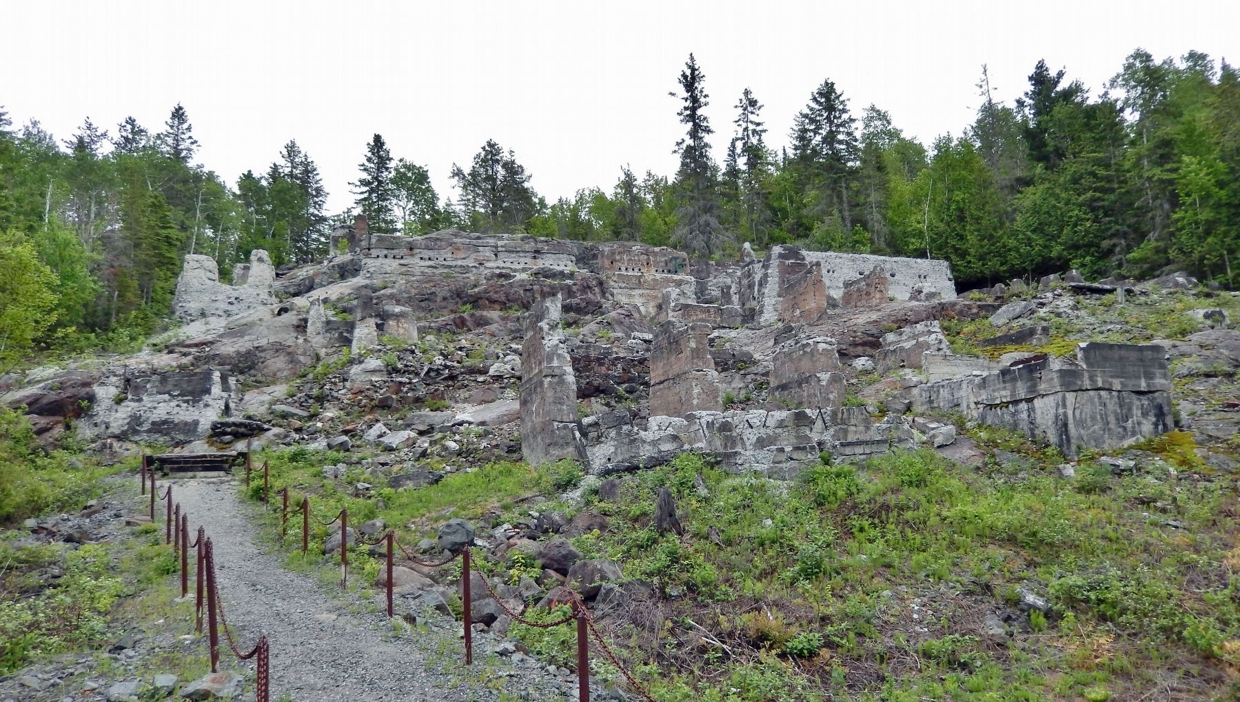
Cobalt played a decisive role in the evolution of hard-rock mining in Canada. Between 1903 and the 1920s, the district’s rich veins triggered a mining boom which attracted international attention and led to Cobalt's emergence as the silver capital of the world. The history of this industry is written in the surrounding landscape. Open cuts carved from the rock by hand reflect the earliest surface mining operations. Mining shafts, sunk as operations expanded, are marked by the presence of headframes. Concrete foundations, massive rockpiles and remnants of tailings indicate the location of milling facilities for processing ore on site. Cobalt's former prosperity is still visible in the substantial commercial and financial buildings dominating the town centre. Ultimately, the operations at Cobalt established a cadre of mining professionals and a pool of capital, which sparked further mining exploration and proved invaluable in the development of large-scale gold and copper mining in Ontario and Quebec.
Cobalt a joué un rôle décisif dans l'évolution de l'exploitation minière en roche dure au Canada. La découverte de riches filons d'argent dans la région déclencha, en 1903, un essor minier qui dura une vingtaine d'années et qui valut à la ville le titre de capitale mondiale de l'argent. Le paysage demeure tout empreint de l'histoire de cette industrie. Ainsi des entailles, faites à la main dans la roche, témoignent des premières opérations minières en surface. Des chevalements révèlent la présence de puits de mines creusés au fil des opérations. Des fondations en béton, des piles imposantes de roches et des montagnes de résidus marquent l'emplacement des installations de broyage. De plus, les nombreux édifices commerciaux et financiers du centre-ville évoquent la prospérité de cette époque. L'exploitation de Cobalt attira des professionnels miniers et engendra la création de fonds de capitaux qui stimulèrent la recherche de gisements et se révélèrent déterminants dans le développement des mines d'or et de cuivre en Ontario et au Québec.
Erected 2003 by Historic Sites and Monuments Board of Canada/Commission des lieux et monuments historiques du Canada.
Topics and series. This historical marker is listed in these topic lists: Industry & Commerce • Settlements & Settlers. In addition, it is included in the Canada, Historic Sites and Monuments Board series list. A significant historical year for this entry is 1903.
Location.
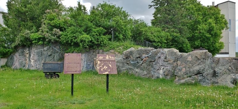
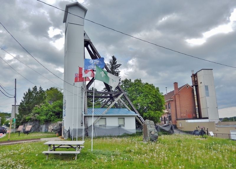
47° 23.734′ N, 79° 41.136′ W. Marker is in Cobalt, Ontario, in Timiskaming District. Marker is on Silver Street just north of Bunker Lane, on the right when traveling north. Marker is located in the small park on the north side of the Pan Silver Headframe and directly across the street from the Cobalt Mining Museum. Touch for map. Marker is at or near this postal address: 21 Silver Street, Cobalt ON P0J 1C0, Canada. Touch for directions.
Other nearby markers. At least 8 other markers are within walking distance of this marker. Bar and Arm Drill (a few steps from this marker); City of Cobalt Shaft / Le puits de mine de la Ville de Cobalt (a few steps from this marker); Tripod Drill (a few steps from this marker); Mucking Machine or Overshot Loader (a few steps from this marker); Side Dump Cars (a few steps from this marker); Silver Mining in Canada / Production de L'argent au Canada (a few steps from this marker); Battery Tramming Motor (a few steps from this marker); Cobalt Mining Camp (a few steps from this marker). Touch for a list and map of all markers in Cobalt.
Also see . . . Cobalt: Discovering the Mining History of Northern Ontario.
On August 7th, 1903, two lumbermen seeking timbers for railroad ties stumbled upon a silver vein that ultimately kick started the rush of 1905-06. The Klondike rush was over and people were hungry for the next great discovery and Cobalt quickly became a hotbed of mining in northern Ontario. Today, Cobalt is known as The Silver Capital of Canada and the most historic town in Ontario and for good reason; it produced 460 million ounces from over 100 mines since the initial discovery. Today, the town is a mere 1500 people and the landscape is barren. Chain-link fences sanction off large open pits, abandoned head frames and foundations of buildings that were left behind as a reminder of what once was.(Submitted on October 21, 2022, by Cosmos Mariner of Cape Canaveral, Florida.)
Credits. This page was last revised on October 21, 2022. It was originally submitted on October 21, 2022, by Cosmos Mariner of Cape Canaveral, Florida. This page has been viewed 81 times since then and 11 times this year. Photos: 1, 2, 3, 4, 5, 6. submitted on October 21, 2022, by Cosmos Mariner of Cape Canaveral, Florida.
