Hagerstown in Washington County, Maryland — The American Northeast (Mid-Atlantic)
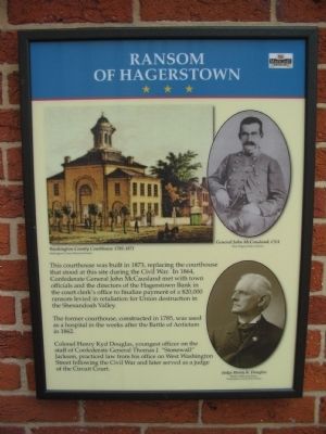
Ransom of Hagerstown
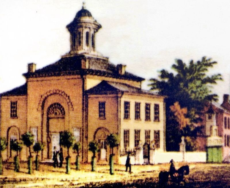
The former courthouse, constructed in 1785, was used as a hospital in the weeks after the Battle of Antietam in 1862.
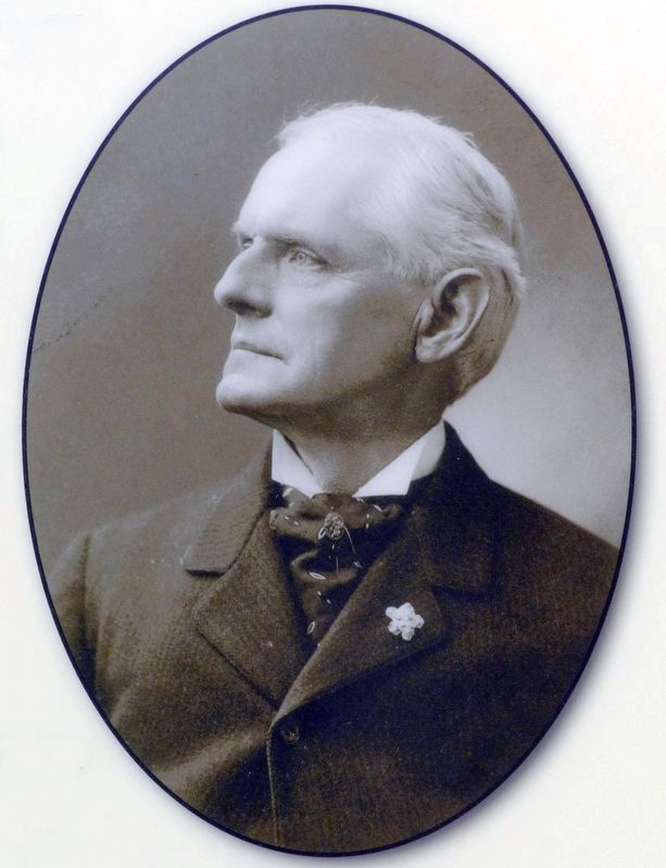
Colonel Henry Kyd Douglas, youngest officer on the staff of Confederate General Thomas J. "Stonewall" Jackson, practiced law from his office on West Washington Street following the Civil War and later served as a judge of the Circuit Court.
Erected by Maryland Heritage Area.
Topics. This historical marker is listed in this topic list: War, US Civil. A significant historical year for this entry is 1873.
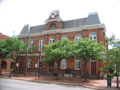
Location. 39° 38.581′ N, 77° 43.358′ W. Marker is in Hagerstown, Maryland, in Washington County. Marker is at the intersection of West Washington Street (U.S. 40) and Summit Avenue, on the right when traveling east on West Washington Street. Located on the side of the Washington County Courthouse. Touch for map. Marker is in this post office area: Hagerstown MD 21740, United States of America. Touch for directions.
Other nearby markers. At least 8 other markers are within walking distance of this marker. Crossroads of History (here, next to this marker); For God and Country (here, next to this marker); Washington County Courthouse (a few steps from this marker); Bench Mark "A" (within shouting distance of this marker); A City Divided (within shouting distance of this marker); Hagerstonians in the Civil War (about 300 feet away, measured in a direct line); John Brown (about 400 feet away); Hagerstonians In The Civil War (about 400 feet away). Touch for a list and map of all markers in Hagerstown.
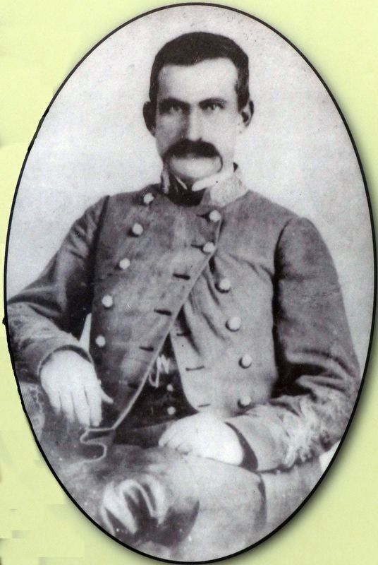
More about this marker. In the upper left is an illustration showing the old Courthouse. To the right are portraits of McCausland and Douglas.
Credits. This page was last revised on August 25, 2017. It was originally submitted on July 15, 2009, by Craig Swain of Leesburg, Virginia. This page has been viewed 1,209 times since then and 45 times this year. Photos: 1, 2. submitted on July 15, 2009, by Craig Swain of Leesburg, Virginia. 3, 4, 5. submitted on August 24, 2017, by Allen C. Browne of Silver Spring, Maryland.
