Warm Springs in Bath County, Virginia — The American South (Mid-Atlantic)
Warm Springs
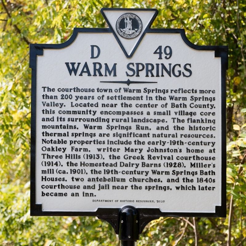
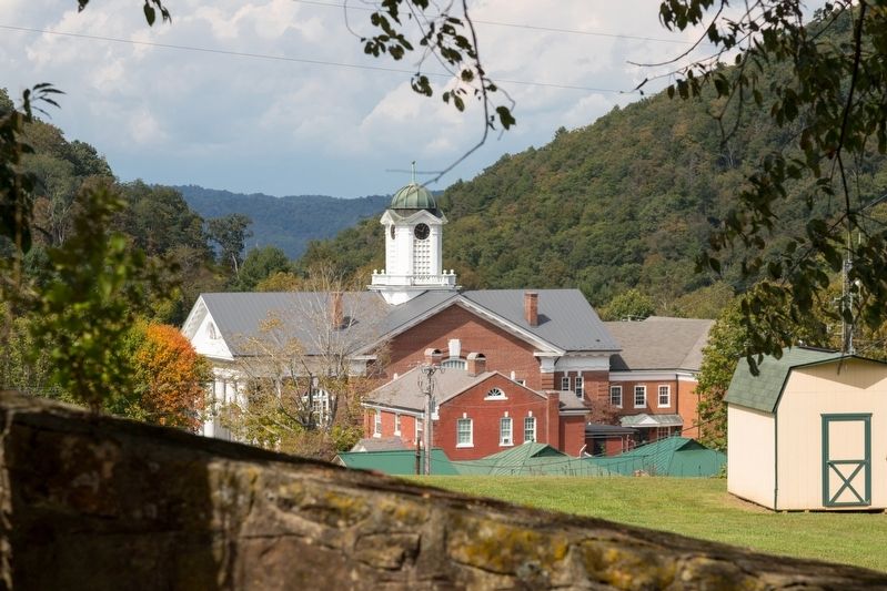
The courthouse town of Warm Springs reflects more than 200 years of settlement in the Warm Springs Valley. Located near the center of Bath County, this community encompasses a small village core and its surrounding rural landscape. The flanking mountains, Warm Springs Run, and the historic thermal springs are significant natural resources. Notable properties include the early-19th-century Oakley Farm, writer Mary Johnston’s home at Three Hills (1913), the Greek Revival courthouse (1914), the Homestead Dairy Barns (1928), Miller’s mill (ca. 1901), the 19th-century Warm Springs Bath Houses, two antebellum churches, and the 1840s courthouse and jail near the springs, which later became an inn.
Erected 2020 by Department of Historic Resources. (Marker Number D-49.)
Topics. This historical marker is listed in these topic lists: Architecture • Notable Places.
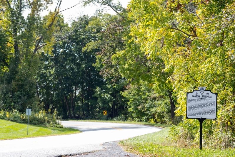
Location. 38° 2.689′ N, 79° 47.262′ W. Marker is in Warm Springs, Virginia, in Bath County. Marker is at the intersection of Sam Snead Highway (U.S. 220) and Courthouse Hill Road (County Route 614), on the right when traveling south on Sam Snead Highway. It is at a the unsigned overlook with a view of the town. Touch for map . Marker is at or near this postal address: 12145 Sam Snead Hwy, Warm Springs VA 24484, United States of America. Touch for directions.
Other nearby markers. At least 8 other markers are within walking distance of this marker. Bath County Historical Society Building (about 500 feet away, measured in a direct line); Veterans Memorial (about 600 feet away); In Memory of Our Fallen Comrades (about 600 feet away); The County Seat of Bath (about 600 feet away); Confederate Memorial (about 700 feet away); Mary Johnston (approx. 0.2 miles away); The Dinwiddie Mantle (approx. ¼ mile away); Waterwheel Restaurant Building (approx. ¼ mile away). Touch for a list and map of all markers in Warm Springs.
Also see . . . Old Warm Springs Village. A Brief History of Warm Springs, Virginia. Excerpt:
Recognizing the commercial potential of the area, members of the Lewis family obtained land grants for this section of Augusta County. However, access to the area was limited. In order to get more visitors to the springs, a road was needed. In 1772, the Virginia legislature funded the early turnpike over the mountain to what is now Warm Springs.(Submitted on October 23, 2022.)
Development of the resort quickly followed. The Colonnade Hotel was built by the John and Margaret Lewis adjacent to the Warm Sulphur Springs. A larger hotel later replaced it. This resort soon became the most famous and fashionable of the many springs hotels spread across the spine of the Allegheny mountain range. It was the starting point for the summer social season at the mountain springs.
The hotel grew and prospered throughout the antebellum period with the arrival of the railroad to the Millboro Depot in the 1850s. The hotel was hosting over 6,000 visitors each year. After the Civil War, the Warm Springs Hotel continued to attract Virginians seeking to “take the waters.”
Credits. This page was last revised on October 24, 2022. It was originally submitted on October 23, 2022, by J. J. Prats of Powell, Ohio. This page has been viewed 102 times since then and 25 times this year. Photos: 1, 2, 3. submitted on October 23, 2022, by J. J. Prats of Powell, Ohio.


