Sioux Falls in Minnehaha County, South Dakota — The American Midwest (Upper Plains)
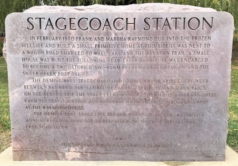
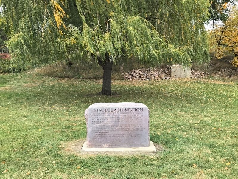
Stagecoach Station
The Deming Bros. stagecoach made three round trips every week between Yankton, the capital of Dakota Territory, and Sioux Falls. On the return trip, the stage left Sioux Falls from the Cataract Hotel each Tuesday, Thursday and Saturday morning. Trips included a stop at the Raymond House.
The Deming Bros. Stage Line became known as a first-class line. Annual revenue from the short-lived, round-trip service was less than $1200.
Erected 2004 by Minnehaha County Historical Society.
Topics. This historical marker is listed in this topic list: Roads & Vehicles. A significant historical month for this entry is February 1870.
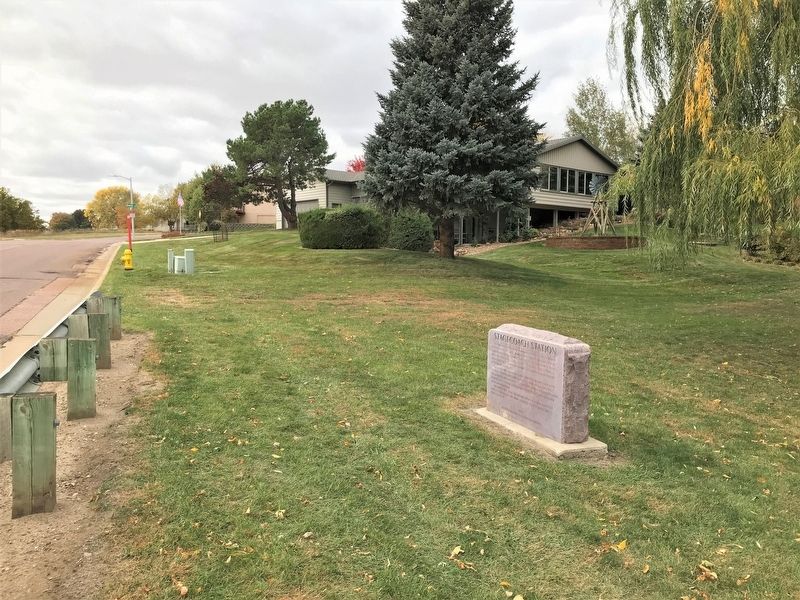
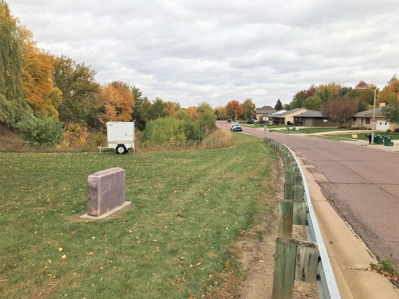
Location. 43° 32.011′ N, 96° 48.127′ W. Marker is in Sioux Falls, South Dakota, in Minnehaha County. Marker is on West Silver Valley Drive, 0.6 miles west of South Marion Road, on the right when traveling west. Touch for map. Marker is at or near this postal address: 6021 W Silver Valley Dr, Sioux Falls SD 57106, United States of America. Touch for directions.
Other nearby markers. At least 8 other markers are within 2 miles of this marker, measured as the crow flies. Owancatowin (approx. half a mile away); Hayward School (approx. 1.2 miles away); The Big Slide (approx. 1.9 miles away); Minnehaha Country Club (approx. 1.9 miles away); 500 A.D. Copper Knife (approx. 1.9 miles away); Earth-Hut Villages (approx. 1.9 miles away); The Fifth Mound (approx. 1.9 miles away); Mound Builders Village (approx. 2 miles away). Touch for a list and map of all markers in Sioux Falls.
Credits. This page was last revised on October 24, 2022. It was originally submitted on October 24, 2022. This page has been viewed 216 times since then and 47 times this year. Photos: 1, 2, 3, 4. submitted on October 24, 2022.


