Sioux Falls in Minnehaha County, South Dakota — The American Midwest (Upper Plains)
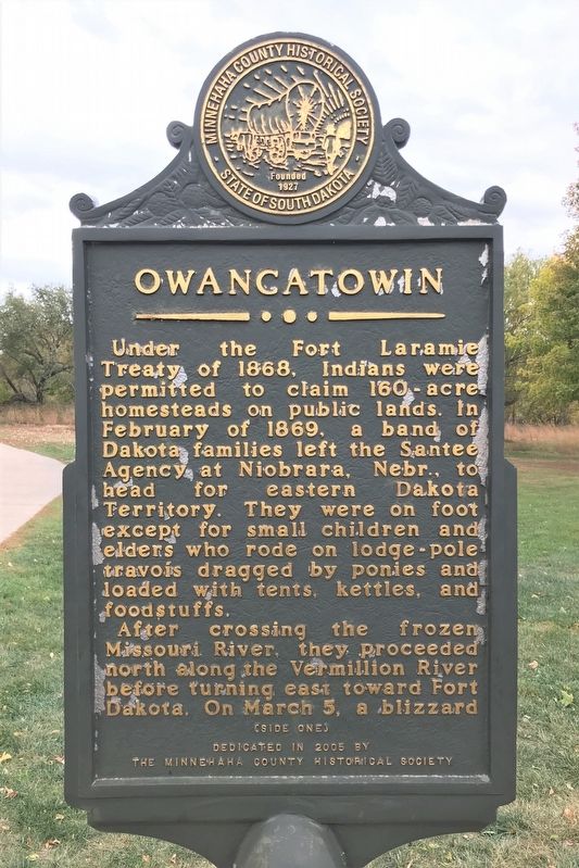
Owancatowin
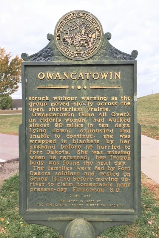
After crossing the frozen Missouri River, they proceeded north along the Vermillion River before turning east toward Fort Dakota. On March 5, a blizzard struck without warning as the group moved slowly across the open, shelterless prairie.
Owancatowin (Blue All Over), an elderly woman, had walked almost 90 miles in ten days. Lying down, exhausted and unable to continue, she was wrapped in blankets by her husband before he hurried to Fort Dakota. She was missing when he returned; her frozen body was found the next day.
The families were fed by Fort Dakota soldiers and rested on Seney Island before moving upriver to claim homesteads near present-day Flandreau, S.D.
Erected 2005 by the Minnehaha County Historical Society.
Topics. This historical marker is listed in these topic lists: Forts and Castles • Native Americans. A significant historical month for this entry is February 1869.
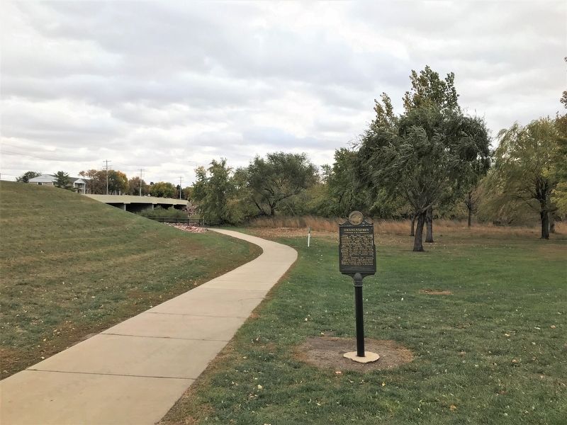
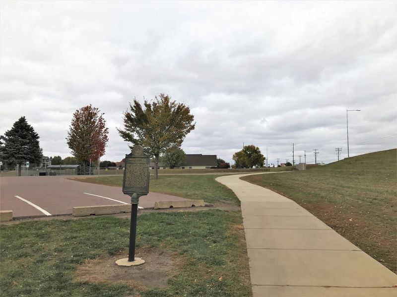
Location. 43° 32.077′ N, 96° 47.488′ W. Marker is in Sioux Falls, South Dakota, in Minnehaha County. Marker can be reached from South Marion Road, on the right when traveling south. Located by the bike trail near the eastern entrance to Dunham Park in Sioux Falls. Touch for map. Marker is at or near this postal address: 1301 S Marion Rd, Sioux Falls SD 57106, United States of America. Touch for directions.
Other nearby markers. At least 8 other markers are within 2 miles of this marker, measured as the crow flies. Stagecoach Station (approx. half a mile away); Hayward School (approx. 1.1 miles away); The Big Slide (approx. 1.3 miles away); Minnehaha Country Club (approx. 1.3 miles away); 500 A.D. Copper Knife (approx. 1.4 miles away); Earth-Hut Villages (approx. 1.4 miles away); The Fifth Mound (approx. 1.4 miles away); Mound Builders Village (approx. 1.4 miles away). Touch for a list and map of all markers in Sioux Falls.
Credits. This page was last revised on October 24, 2022. It was originally submitted on October 24, 2022. This page has been viewed 113 times since then and 17 times this year. Photos: 1, 2, 3, 4. submitted on October 24, 2022.


