Near Ringold in Catoosa County, Georgia — The American South (South Atlantic)
Reed's Bridge
Battle of Chickamauga
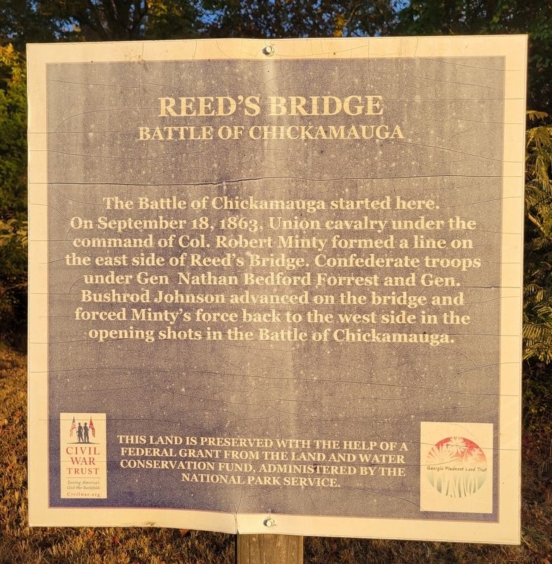
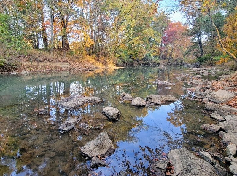
The Battle of Chickamauga started here. On September 18, 1863, Union cavalry under the command of Col. Robert Minty formed a line on the east side of Reed's Bridge. Confederate troops under Gen Nathan Bedford Forrest and Gen. Bushrod Johnson advanced on the bridge and forced Minty's force back to the west side in the opening shots in the Battle of Chickamauga.
This land is preserved with the help of a Federal Grant from the Land and Water Conservation Fund, administered by the National Park Service.
Erected 2014 by Civil War Trust.
Topics. This historical marker is listed in this topic list: War, US Civil. A significant historical date for this entry is September 18, 1863.
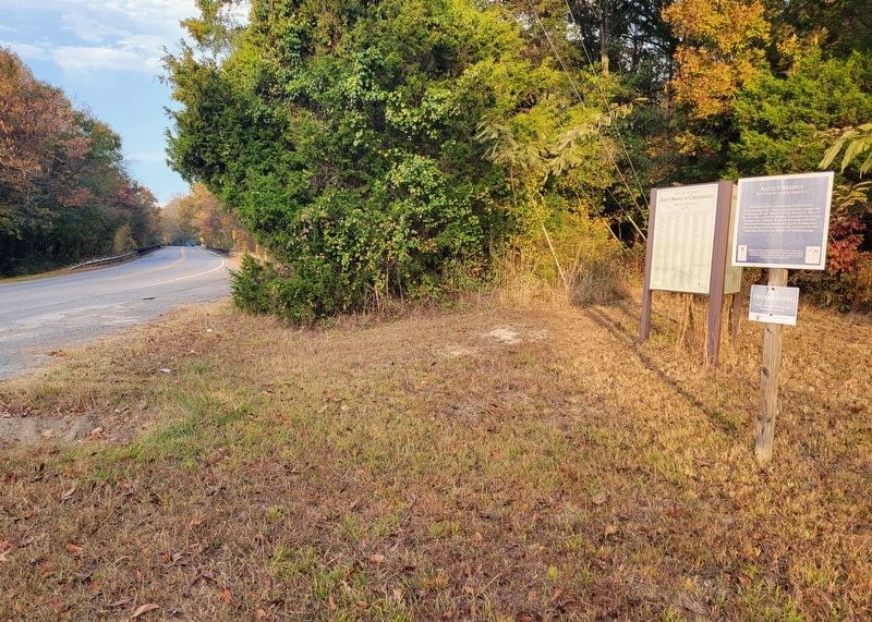
Location. 34° 55.793′ N, 85° 12.989′ W. Marker is near Ringold, Georgia, in Catoosa County. Marker is on Reeds Bridge Road east of Walker Road, on the right when traveling west. Touch for map. Marker is at or near this postal address: 5897 Reeds Bridge Road, Ringgold GA 30736, United States of America. Touch for directions.
Other nearby markers. At least 8 other markers are within walking distance of this marker. 86th Illinois Infantry (approx. 0.2 miles away); 125th Illinois Infantry (approx. 0.2 miles away); 2nd Illinois Light Artillery (approx. 0.2 miles away); 85th Illinois Infantry (approx. 0.2 miles away); Minty's Cavalry Brigade (approx. 0.7 miles away); Johnson's Provisional Division (approx. 0.7 miles away); 7th Pennsylvania Cavalry (approx. 0.7 miles away); Dibrell's Brigade (approx. 0.7 miles away).
Credits. This page was last revised on October 26, 2022. It was originally submitted on October 25, 2022, by Bradley Owen of Morgantown, West Virginia. This page has been viewed 236 times since then and 48 times this year. Photos: 1, 2, 3. submitted on October 25, 2022, by Bradley Owen of Morgantown, West Virginia. • Bernard Fisher was the editor who published this page.


