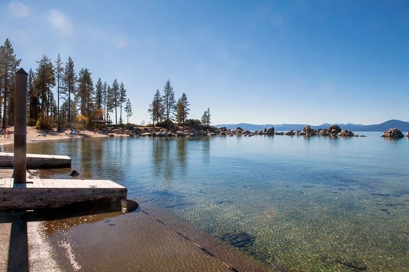
Lake Tahoe Nevada State Park in Washoe County, Nevada — The American Mountains (Southwest)
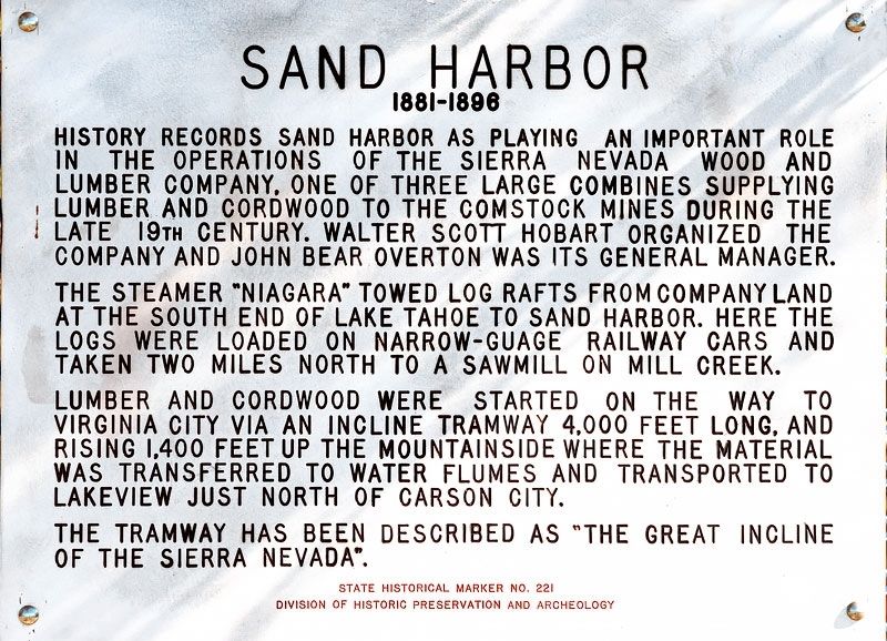
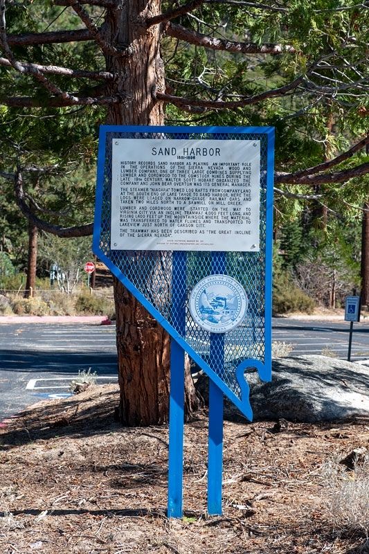
Sand Harbor
1881-1896
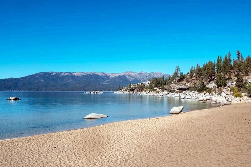
The steamer "Niagara" towed log rafts from company land at the south end of Lake Tahoe to Sand Harbor. Here the logs were loaded on narrow-guage [sic] railway cars and taken two miles north to a sawmill on Mill Creek.
Lumber and cordwood were started on the way to Virginia City via an incline tramway 4.000 feet long, and rising 1,400 feet up the mountainside where the material was transferred to water flumes and transported to Lakeview just north of Carson City.
The tramway has been described as "the great incline of the Sierra Nevada". (Marker Number 221.)
Topics. This historical marker is listed in this topic list: Industry & Commerce. A significant historical year for this entry is 1881.
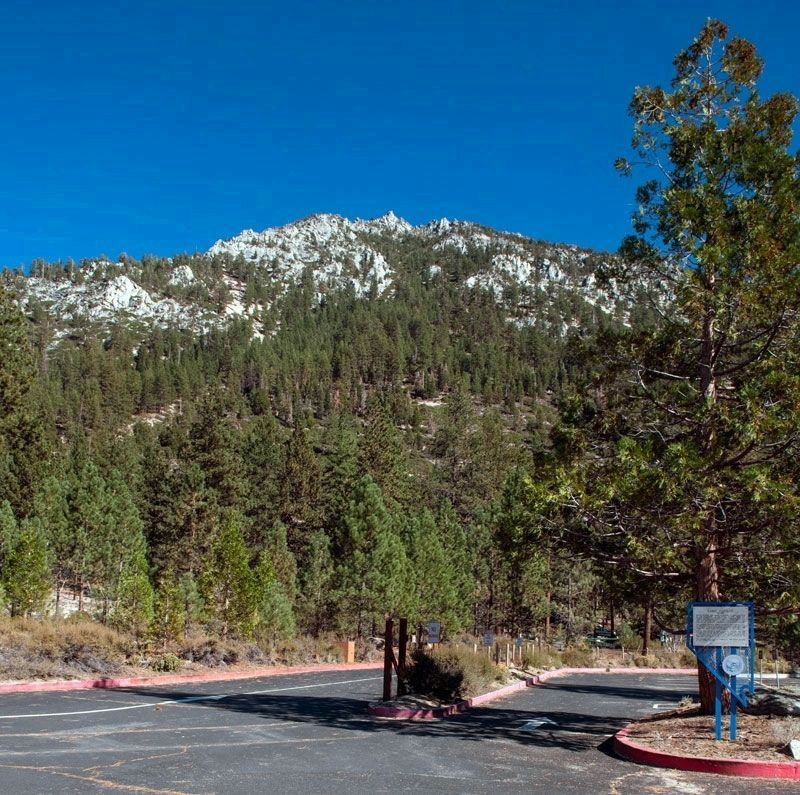
Location. 39° 12.031′ N, 119° 55.799′ W. Marker is in Lake Tahoe Nevada State Park, Nevada, in Washoe County. Marker can be reached from Nevada Route 28. Marker is located near the boat ramp. Ask for directions at the park entrance station or follow directional signs to the boat ramp. Touch for map. Marker is in this post office area: Washoe Valley NV 89704, United States of America. Touch for directions.
Other nearby markers. At least 8 other markers are within 7 miles of this marker, measured as the crow flies. The Great Incline of the Sierra Nevada (approx. 2˝ miles away); Spooner Area (approx. 6.6 miles away); Lakeview (approx. 6.8 miles away); Franktown (approx. 6.8 miles away); Tahoe Rim Trail (approx. 6.9 miles away); Marlette Lake Trail (approx. 6.9 miles away); The Flume Trail (approx. 6.9 miles away); Hiking the Tahoe Rim Dream (approx. 6.9 miles away).
Regarding Sand Harbor. Also see Nevada Historical Landmark 246, Great Incline of the Sierra Nevada.
Credits. This page was last revised on November 1, 2022. It was originally submitted on October 26, 2022, by Alvis Hendley of San Francisco, California. This page has been viewed 134 times since then and 22 times this year. Photos: 1, 2, 3, 4, 5. submitted on October 26, 2022, by Alvis Hendley of San Francisco, California. • Bill Pfingsten was the editor who published this page.
