Doniphan in Ripley County, Missouri — The American Midwest (Upper Plains)
Old Time Cemetery
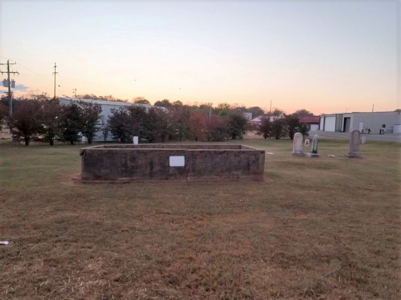
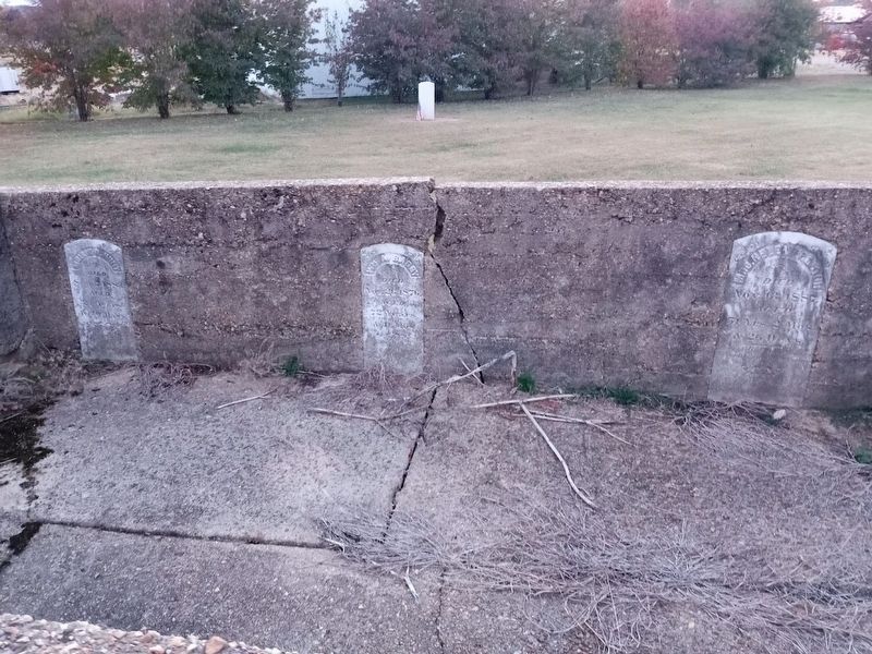
The purpose of the concrete wall around the family plot of Dr. William Proctor was to keep livestock from knocking down tombstones and disturbing the grave site.
Most grave sites were unmarked. Important people whose graves are marked are Lemuel Kittrell, Doniphans' first settler, 12 soldiers killed at the Christmas Day Massacre, Capt. James Madison Ponder also killed in the Civil War and Zebedee Washington Stephens who has many descendants still living in Ripley County.
Topics. This historical marker is listed in these topic lists: Cemeteries & Burial Sites • Settlements & Settlers. A significant historical year for this entry is 1847.
Location. 36° 36.983′ N, 90° 49.694′ W. Marker is in Doniphan, Missouri, in Ripley County. Marker can be reached from Franklin Street south of Charles Street. Touch for map. Marker is at or near this postal address: 200 Franklin St, Doniphan MO 63935, United States of America. Touch for directions.
Other nearby markers. At least 8 other markers are within walking distance of this marker. Zebedee Washington Stephens (a few steps from this marker); Pioneer Log Barn (within shouting distance of this marker); Pioneer Log Cabin (within shouting distance of this marker); Wheat Drills (within shouting distance of this marker); a different marker also named Pioneer Log Cabin (within shouting distance of this marker); Tom Kennon's Blacksmith Shop (within shouting distance of this marker); Heritage Homestead (within shouting distance of this marker); Tribute to Current River (about 400 feet away, measured in a direct line). Touch for a list and map of all markers in Doniphan.
Regarding Old Time Cemetery. Text taken from this page.
Credits. This page was last revised on October 28, 2022. It was originally submitted on October 28, 2022, by Jason Voigt of Glen Carbon, Illinois. This page has been viewed 136 times since then and 33 times this year. Photos: 1, 2, 3. submitted on October 28, 2022, by Jason Voigt of Glen Carbon, Illinois.


