Wytheville in Wythe County, Virginia — The American South (Mid-Atlantic)
Battle of Wytheville
Colonel John T. Toland Killed
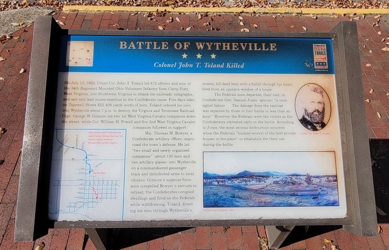
On July 13, 1863, Union Col. John T. Toland led 872 officers and men of the 34th Regiment Mounted Ohio Volunteer Infantry from Camp Piatt, West Virginia, into Southwest Virginia to attack the railroads, telegraphs, and salt and lead mines essential to the Confederate cause. Five days later, on Tazewell Street Hill 400 yards north of here, Toland ordered his men into Wytheville about 7 p.m. to destroy the Virginia and Tennessee Railroad. Capt. George W. Gilmore led two 1st West Virginia Cavalry companies down the street, while Col. William H. Powell and five 2nd West Virginia Cavalry companies followed in support.
Maj. Thomas M. Bowyer, a Confederate artillery officer, improvised the town's defense. He led "two small and newly organized companies" (about 130 men and two artillery pieces) into Wytheville on a commandeered passenger train and distributed arms to local citizens. Gilmore's superior force soon compelled Bowyer's recruits to retreat; the Confederates occupied dwellings and fired on the Federals while withdrawing. Toland, directing his men through Wytheville's streets, fell dead here with a bullet through his heart, fired from an upstairs window of a house.
The Federals soon departed, their raid (in Confederate Gen. Samuel Jones' opinion) "a most signal failure .... The damage done the railroad was repaired by three or four hands in less than an hour." However, the Federals were the victors as the Confederates retreated early in the battle. According to Jones, the most serious destruction occurred when the Federals "burned several of the best private houses in the place" in retaliation for their use during the battle.
(Captions)
Movements of Confederate and Union troops during the battle using modern Wytheville street names.
Union Col. John T. Toland
Wytheville, Virginia, 1855.
Erected by Virginia Civil War Trails.
Topics and series. This historical marker is listed in this topic list: War, US Civil. In addition, it is included in the Virginia Civil War Trails series list. A significant historical date for this entry is July 13, 1863.
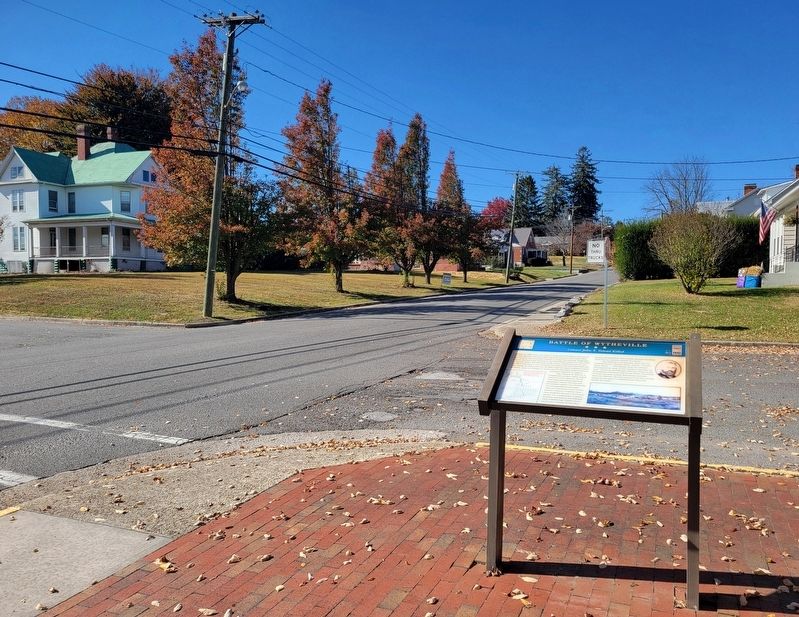
Location. 36° 57.153′ N, 81° 5.191′ W. Marker is in Wytheville, Virginia, in Wythe County. Marker is at the intersection of Tazewell Street and East Pine Street, on the right when traveling north on Tazewell Street. Touch for map. Marker is in this post office area: Wytheville VA 24382, United States of America. Touch for directions.
Other nearby markers. At least 8 other markers are within walking distance of this marker. Welcome to the Thomas J. Boyd Museum (about 700 feet away, measured in a direct line); The Haller-Gibboney Rock House (approx. 0.2 miles away); LOVE (approx. 0.2 miles away); The Lynching of Raymond Byrd (approx. 0.2 miles away); Boone Trail Highway Memorial (approx. ¼ mile away); Wytheville (approx. ¼ mile away); Home Site of Christopher (Stophel) Simmerman (approx. ¼ mile away); Edith Bolling Wilson (approx. ¼ mile away). Touch for a list and map of all markers in Wytheville.
Credits. This page was last revised on October 30, 2022. It was originally submitted on October 28, 2022, by Bradley Owen of Morgantown, West Virginia. This page has been viewed 136 times since then and 30 times this year. Photos: 1, 2. submitted on October 28, 2022, by Bradley Owen of Morgantown, West Virginia. • Bernard Fisher was the editor who published this page.

