Overlook in Little Rock in Pulaski County, Arkansas — The American South (West South Central)
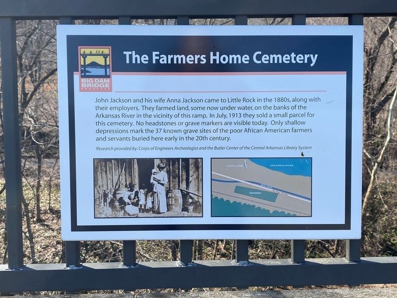
The Farmers Home Cemetery
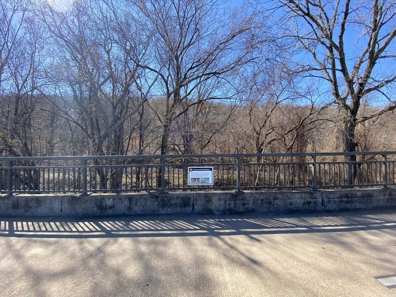
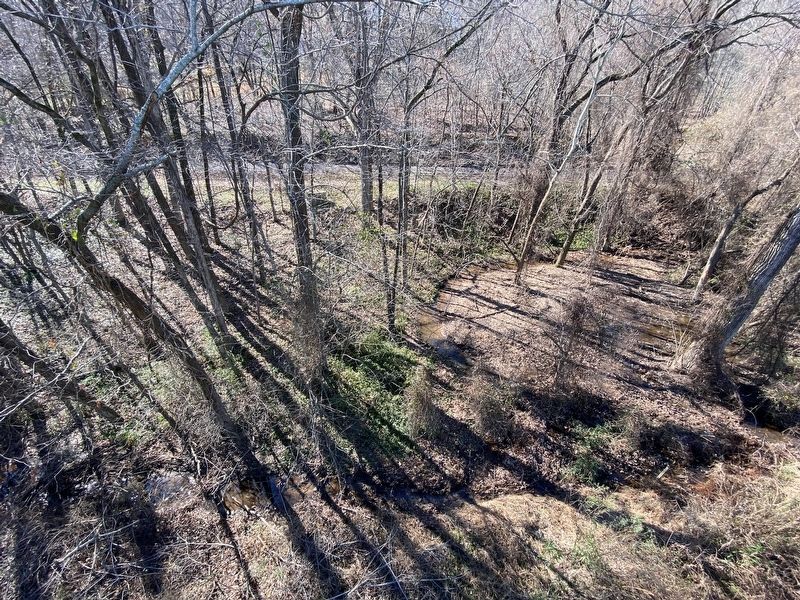
John Jackson and his wife Anna Jackson came to Little Rock in the 1880s, along with their employers. They farmed land, some now under water, on the banks of the Arkansas River in the vicinity of this ramp. In July, 1913 they sold a small parcel for this cemetery. No headstones or grave markers are visible today. Only shallow depressions mark the 37 known grave sites of the poor African American farmers and servants buried here early in the 20th century.
Research provided by: Corps of Engineers Archeologist and the Butler Center of the Central Arkansas Library System
Topics. This historical marker is listed in this topic list: Cemeteries & Burial Sites.
Location. 34° 47.368′ N, 92° 21.45′ W. Marker is in Little Rock, Arkansas, in Pulaski County. It is in Overlook. Marker can be reached from Overlook Drive. Touch for map. Marker is at or near this postal address: 108 Overlook Dr, Little Rock AR 72207, United States of America. Touch for directions.
Other nearby markers. At least 8 other markers are within 3 miles of this marker, measured as the crow flies. The Story of the Big Dam Bridge Monoliths (about 700 feet away, measured in a direct line); McClellan-Kerr Arkansas River Navigation System (about 800 feet away); Looking Down the Arkansas River to the East (approx. 0.2 miles away); Looking Down the Arkansas River to the West (approx. ¼ mile away); The Arkansas River Trail Story (approx. half a mile away); Four Bridges (approx. half a mile away); The Heights • A History (approx. 1.7 miles away); Block Realty-Baker House (approx. 2.3 miles away). Touch for a list and map of all markers in Little Rock.
Credits. This page was last revised on February 10, 2023. It was originally submitted on October 29, 2022, by Darren Jefferson Clay of Duluth, Georgia. This page has been viewed 190 times since then and 48 times this year. Photos: 1, 2, 3. submitted on October 29, 2022, by Darren Jefferson Clay of Duluth, Georgia. • J. Makali Bruton was the editor who published this page.


