Hubbard in Hill County, Texas — The American South (West South Central)
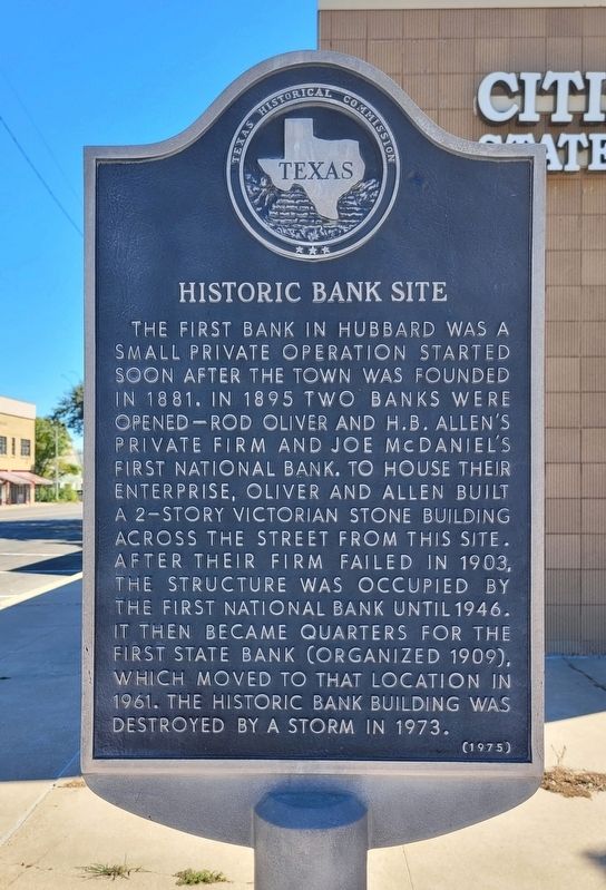
Historic Bank Site
Erected 1975 by Texas Historical Commission. (Marker Number 2492.)
Topics. This historical marker is listed in this topic list: Industry & Commerce. A significant historical year for this entry is 1881.
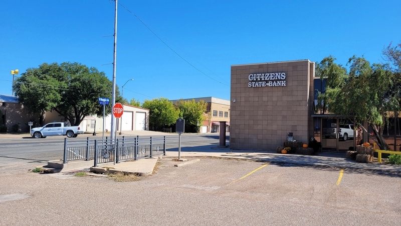
Location. 31° 50.796′ N, 96° 47.741′ W. Marker is in Hubbard, Texas, in Hill County. Marker is at the intersection of NW Second Street and North Magnolia Street, on the right when traveling east on NW Second Street. The marker is located in the parking lot of the Citizen State Bank. Touch for map. Marker is at or near this postal address: 101 NW Second Street, Hubbard TX 76648, United States of America. Touch for directions.
Other nearby markers. At least 8 other markers are within 4 miles of this marker, measured as the crow flies. Hubbard (within shouting distance of this marker); The Hubbard City News (within shouting distance of this marker); Hometown of Tris Speaker (within shouting distance of this marker); First Methodist Church (about 700 feet away, measured in a direct line); Hot Mineral Water Well (approx. 0.3 miles away); Hubbard High School (approx. 0.4 miles away); Fairview Cemetery (approx. ¾ mile away); Former Site of Liberty Hill Settlement (approx. 3.7 miles away). Touch for a list and map of all markers in Hubbard.
Also see . . . Hubbard, Texas. Wikipedia
Hubbard was named after Richard B. Hubbard, the 16th governor of Texas. He was on hand at the sales of the first town lots on August 11, 1881. The city was organized when the railroads were built through this section of the state. Its first bank was organized in 1881. In 1895 mineral water was discovered in Hubbard. This spawned several bath houses and a sanitarium. Hubbard's reputation as a health resort contributed to its population increase. On March 10, 1973, an F4 tornado destroyed about a third of Hubbard, including half of the business district, killing six people and injuring 77.
(Submitted on October 29, 2022, by James Hulse of Medina, Texas.)
Credits. This page was last revised on October 29, 2022. It was originally submitted on October 29, 2022, by James Hulse of Medina, Texas. This page has been viewed 75 times since then and 9 times this year. Photos: 1, 2. submitted on October 29, 2022, by James Hulse of Medina, Texas.

