Tottenville on Staten Island in Richmond County, New York — The American Northeast (Mid-Atlantic)
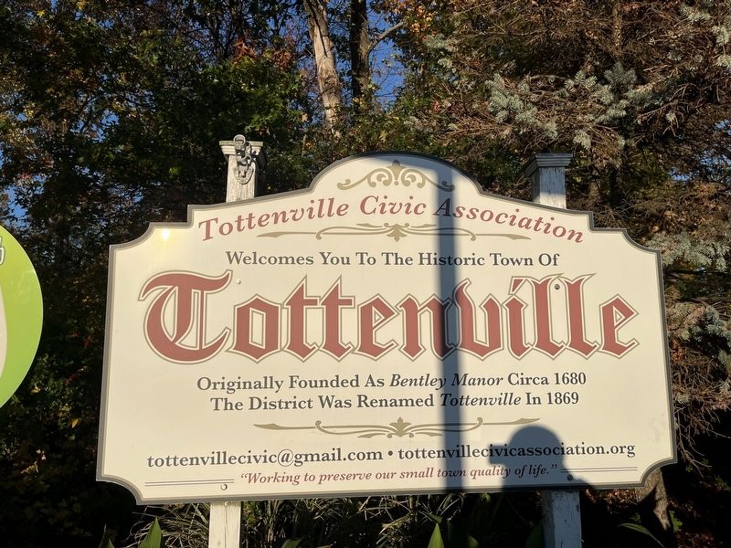
Tottenville
welcomes you to the historic Town of
Tottenville
Originally founded as Bentley Manor circa 1680
The district was renamed Tottenville in 1869
Erected by Tottenville Civic Association.
Topics. This historical marker is listed in these topic lists: Colonial Era • Settlements & Settlers. A significant historical year for this entry is 1680.
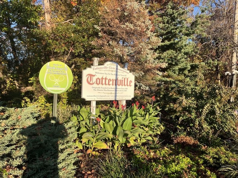
Location. 40° 30.473′ N, 74° 13.818′ W. Marker is on Staten Island, New York, in Richmond County. It is in Tottenville. Marker is at the intersection of Page Avenue and Hylan Boulevard, on the right when traveling south on Page Avenue. Touch for map. Marker is at or near this postal address: 640 Page Ave, Staten Island NY 10307, United States of America. Touch for directions.
Other nearby markers. At least 8 other markers are within walking distance of this marker. Aesop Park (about 500 feet away, measured in a direct line); CYO Memorial Tree (approx. half a mile away); Father John C. Drumgoole (approx. 0.6 miles away); St. Elizabeth’s (approx. 0.6 miles away); The Bells of the Church of Saints Joachim and Ann (approx. 0.6 miles away); The Church of Saint Joachim – Saint Ann (approx. 0.6 miles away); Easter Rising Memorial (approx. 0.6 miles away); Staten Island Civil War Memorial (approx. 0.6 miles away). Touch for a list and map of all markers in Staten Island.
Additional commentary.
1. About Tottenville
While Tottenville may have historically been independent in its early settlement, in 1898 it was part of the consolidation of the City of New York as part of the Borough of Richmond (now the Borough of Staten Island). Due to its location on Staten Island, it is the southwesternmost neighborhood in the City of New York. It is also the southwesternmost part of the State of New York.
— Submitted October 31, 2022, by Devry Becker Jones of Washington, District of Columbia.
Credits. This page was last revised on January 31, 2023. It was originally submitted on October 31, 2022, by Devry Becker Jones of Washington, District of Columbia. This page has been viewed 82 times since then and 20 times this year. Photos: 1, 2. submitted on October 31, 2022, by Devry Becker Jones of Washington, District of Columbia.

