Near Seven Springs in Somerset County, Pennsylvania — The American Northeast (Mid-Atlantic)
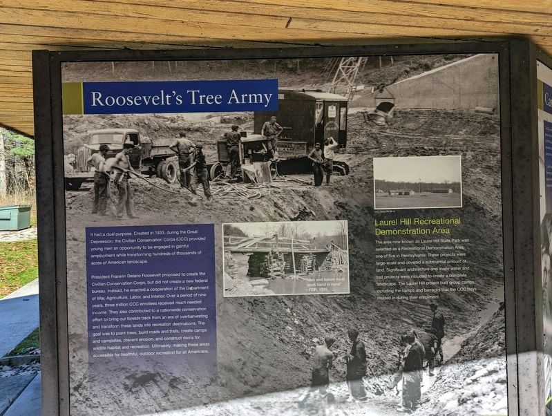
Roosevelt's Tree Army
President Franklin Delano Roosevelt proposed to create the Civilian Conservation Corps, but did not create a new federal bureau. Instead, he enacted a cooperation of the Department of War Agriculture, Labor, and Interior. Over a period of nine years, three million CCC enrollees received much needed income. They also contributed to a nationwide conservation effort to bring our forests back from an era of overharvesting and transform these lands into recreation destinations. The goal was to plant trees, build roads and trails, create camps and campsites, prevent erosion, and construct dams for wildlife habitat and recreation. Ultimately, making these areas accessible for healthful, outdoor recreation for all Americans.
Laurel Hill Recreational Demonstration Area
The area now known as Laurel Hill State Park was selected as a Recreational Demonstration Area, one of five in Pennsylvania. These projects were large-scale and covered a substantial amount of land Significant architecture and major water and trail projects were included to create a complete landscape. The Laurel Hill project built group camps, including the camps and barracks that the CCC boys resided in during their enrollment.
Erected by Pennsylvania DCNR.
Topics. This historical marker is listed in this topic list: Government & Politics. A significant historical year for this entry is 1933.
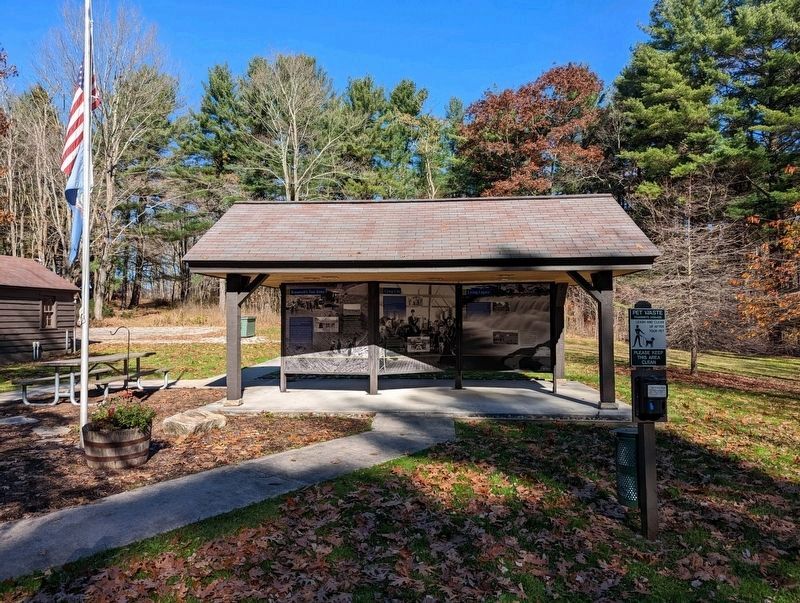
Location. 40° 0.593′ N, 79° 13.462′ W. Marker is near Seven Springs, Pennsylvania, in Somerset County. Marker can be reached from Laurel Hill Park Road, 0.4 miles west of Trent Road. Located at the Laurel Hill State Park Office. Touch for map. Marker is in this post office area: Somerset PA 15501, United States of America. Touch for directions.
Other nearby markers. At least 8 other markers are within 5 miles of this marker, measured as the crow flies. Camp Life (here, next to this marker); Living Legacy (here, next to this marker); Big Trees meet Narrow Gauge (here, next to this marker); Logging Camps and Lumber Mills (here, next to this marker); a different marker also named Living Legacy (here, next to this marker); Laurel Hill State Park (approx. 0.3 miles away); History of the Barronvale Covered Bridge (approx. 4.6 miles away); Site of Gideons German Reformed and Lutheran Church (approx. 4.9 miles away). Touch for a list and map of all markers in Seven Springs.
Also see . . . Laurel Hill State Park. (Submitted on November 2, 2022, by Mike Wintermantel of Pittsburgh, Pennsylvania.)
Credits. This page was last revised on April 7, 2023. It was originally submitted on November 2, 2022, by Mike Wintermantel of Pittsburgh, Pennsylvania. This page has been viewed 73 times since then and 6 times this year. Photos: 1, 2. submitted on November 2, 2022, by Mike Wintermantel of Pittsburgh, Pennsylvania.

