Manahawkin in Stafford Township in Ocean County, New Jersey — The American Northeast (Mid-Atlantic)
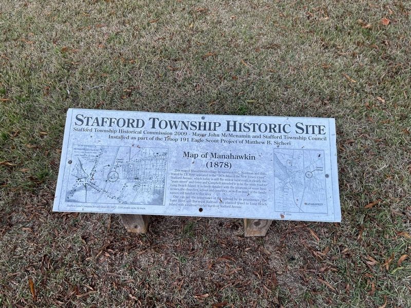
Map of Manahawkin (1878)
Stafford Township Historic Site
This map of Manahawkin village by surveyor H.C. Woolman and illustrated by T.F. Rose appeared in the "1878 Atlas of the New Jersey Coast". Stafford Avenue, which today is still the widest local road, is clearly the "main street" and Grier and Campbell intended it to be the main road to Long Beach Island. It is finely detailed with the locations of some businesses, the churches, school and cemetery, as well as many of the family names still familiar to this area.
One can see the importance of the railroad by its prominence. The Toms River and Barnegat Railroad also planned travel to Long Beach Island with a railroad bridge north of Stafford Avenue.
Erected 2009 by Stafford Township Historic Preservation commission, Mayor John McMenamin and the Stafford Township Council; installed as part of the Troop 191 Eagle Scout Project of Mathew B. Sicheri.
Topics. This historical marker is listed in these topic lists: Railroads & Streetcars • Roads & Vehicles • Settlements & Settlers.
Location. 39° 41.723′ N, 74° 15.254′ W. Marker is in Stafford Township, New Jersey, in Ocean County. It is in Manahawkin. Marker is on Stafford Avenue just west of North Union Street, on the right when traveling west. Touch for map. Marker is at or near this postal address: 94 Stafford Ave, Manahawkin NJ 08050, United States of America. Touch for directions.
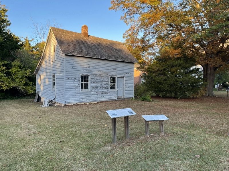
Other nearby markers. At least 8 other markers are within walking distance of this marker. Cavalry Cottage (C. 1740) (here, next to this marker); Manahawkin Methodist Episcopal Church (a few steps from this marker); Veterans Memorial (within shouting distance of this marker); Manahawkin Railroad Station (1872) (within shouting distance of this marker); Lane Drug Store (1890) (about 500 feet away, measured in a direct line); C.H. Cranmer / Hazelton House C. 1898 (about 600 feet away); World Trade Center Artifact (about 600 feet away); Reuben Randolph Manahawkin Tavern, C 1750-1905 (approx. ¼ mile away). Touch for a list and map of all markers in Stafford Township.
Credits. This page was last revised on February 7, 2023. It was originally submitted on November 2, 2022, by Devry Becker Jones of Washington, District of Columbia. This page has been viewed 154 times since then and 32 times this year. Photos: 1, 2. submitted on November 2, 2022, by Devry Becker Jones of Washington, District of Columbia.

