Frankfort in Franklin County, Kentucky — The American South (East South Central)
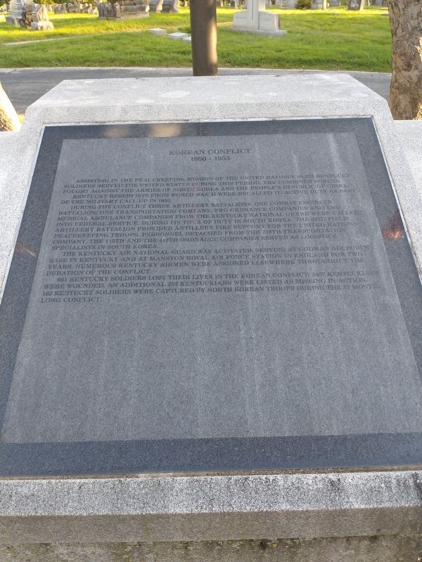
Korean Conflict
1950-1953
Kentucky Reservists from World War II were recalled to active duty as part of the military call up in 1950.
During the conflict three artillery batallions, one combat endineer batallion, one transportation company, two ordnance companies and two medical ambulance companies from the Kentucky National Guard were called into federal service during its tour of duty in South Korea the 623d Field Artillery Battalion provided artillery fire support from the United Nations peacekeeping troops. Personnel detached from the 718th transportations company. The 113th and the 413th ordnance companies served as logistics specialists in South Korea.
The Kentucky Air National Guard was activated, serving at Godman Air Force Base in Kentucky and at Manston Royal Air Force Station in England for two years. Numerous Kentucky airmen were assigned elsewhere throughout the duration of the conflict.
661 Kentucky soldiers lost their lives in the Korean Conflict. 2437 Kentuckians were wounded, an additional 257 Kentuckians were listed as missing in action, 163 Kentucky soldiers were captured by North Korean troops during the 37 month long conflict.
Topics. This historical marker is listed in this topic list: War, Korean. A significant historical year for this entry is 1950.
Location. 38° 11.611′ N, 84° 51.888′ W. Marker is in Frankfort, Kentucky, in Franklin County. Marker is on East Main Street, on the right when traveling east. Touch for map. Marker is at or near this postal address: 215 E Main St, Frankfort KY 40601, United States of America. Touch for directions.
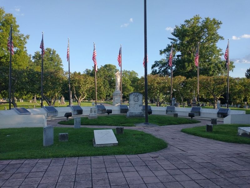
Other nearby markers. At least 8 other markers are within walking distance of this marker. Vietnam Conflict (here, next to this marker); World War I (here, next to this marker); Civil War (here, next to this marker); Spanish-American War (here, next to this marker); The Texas War of Independence 1836 (a few steps from this marker); War of 1812 (a few steps from this marker); War Of Independence (a few steps from this marker); The Persian Gulf War (a few steps from this marker). Touch for a list and map of all markers in Frankfort.
Credits. This page was last revised on November 10, 2022. It was originally submitted on November 4, 2022, by Craig Doda of Napoleon, Ohio. This page has been viewed 65 times since then and 11 times this year. Photos: 1, 2. submitted on November 4, 2022, by Craig Doda of Napoleon, Ohio. • Bill Pfingsten was the editor who published this page.

