Newcastle upon Tyne in Tyne and Wear, England, United Kingdom — Northwestern Europe (the British Isles)
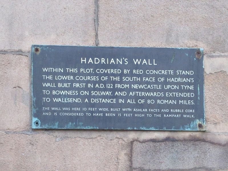
Hadrian’s Wall
Photographed by Michael Herrick, August 17, 2018
1. Hadrian’s Wall Marker
Within this plot, covered by red concrete stand the lower courses of the south face of Hadrian's Wall built first in A.D. 122 from Newcastle upon Tyne to Bowness on Solway, and afterwards extended to Wallsend. A distance in all of 80 Roman miles.
The wall was here 10 feet wide, built with ashlar faces and rubble core and is considered to have been 15 feet high to the rampart walk.
Topics. This historical marker is listed in this topic list: Forts and Castles.
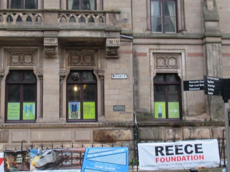
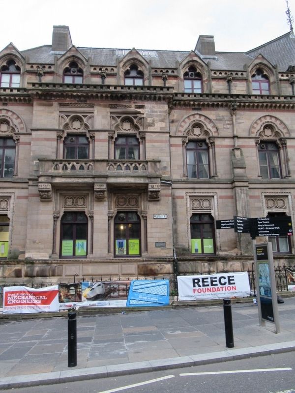
Location. 54° 58.169′ N, 1° 36.851′ W. Marker is in Newcastle upon Tyne, England, in Tyne and Wear. It is at the intersection of Westgate Road and Neville Street (England Route A186), on the left when traveling west on Westgate Road. Located at Neville Hall. Touch for map. Marker is in this post office area: Newcastle upon Tyne, England NE1 1SE, United Kingdom. Touch for directions.

Regionally, this marker is in North East England. Globally, it is on the Atlantic Ocean, in the North Atlantic Region, in Europe, in Atlantic Europe, on one of the British Isles, in the Western World, and in the Anglosphere.
this page online
Other nearby markers. At least 8 other markers are within walking distance of this marker: Sir Joseph Wilson Swan (within shouting distance of this marker); Literary & Philosophical Society (within shouting distance of this marker); Town Wall Repairs (about 150 meters away, measured in a direct line); Orchard Street (about 150 meters away); Danish Seamen’s Club (about 180 meters away); Charles Avison (about 180 meters away); Victoria R I (about 180 meters away); Cathedral Church of St. Nicholas (about 180 meters away). Touch for a list and map of all markers in Newcastle upon Tyne.
Also see . . . Hadrian's Wall on Wikipedia. (Submitted on November 18, 2018, by Michael Herrick of Southbury, Connecticut.)
Photographed by Michael Herrick, August 17, 2018
2. Hadrian’s Wall Marker
Photographed by Michael Herrick, August 17, 2018
3. Hadrian’s Wall Marker
Credits. This page was last revised on September 22, 2024. It was originally submitted on November 18, 2018, by Michael Herrick of Southbury, Connecticut. This page has been viewed 286 times since then and 25 times this year. Last updated on November 4, 2022, by Carl Gordon Moore Jr. of North East, Maryland. Photos: 1, 2, 3. submitted on November 18, 2018, by Michael Herrick of Southbury, Connecticut.
