Damascus in Washington County, Virginia — The American South (Mid-Atlantic)
Damascus Presbyterian Church
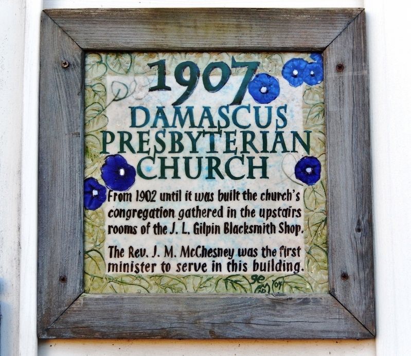
1907
Photographed by Cosmos Mariner, October 5, 2022
1. Damascus Presbyterian Church Marker
The Rev. J. M. McChesney was the first minister to serve in this building.
Topics. This historical marker is listed in these topic lists: Religion & Religious Structures • Settlements & Settlers. A significant historical year for this entry is 1902.
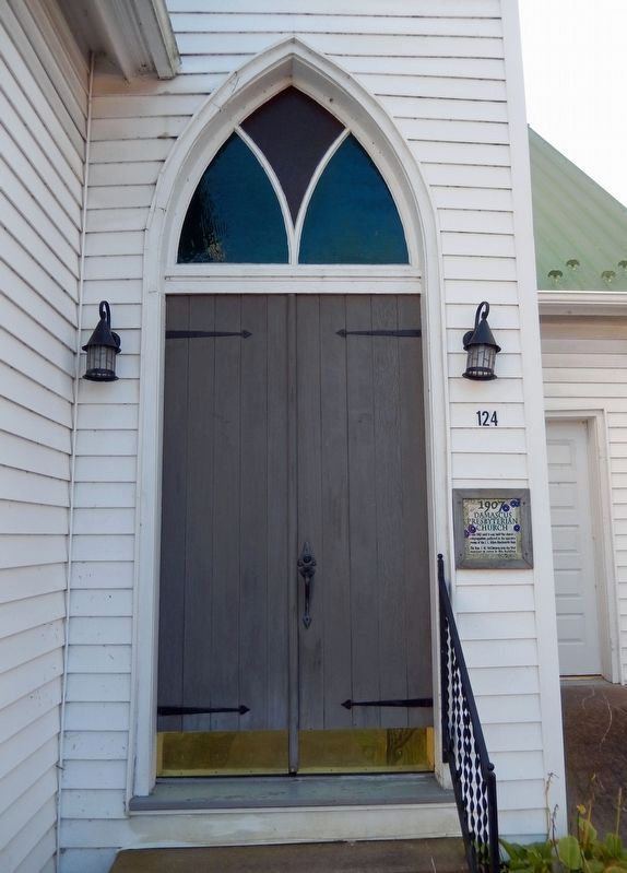
Location. 36° 38.102′ N, 81° 47.373′ W. Marker is in Damascus, Virginia, in Washington County. It is on West Laurel Avenue (U.S. 58) just east of South Reynolds Street, on the right when traveling east. Marker is mounted at eye-level directly on the subject building, just to the right of the front entrance. Touch for map. Marker is at or near this postal address: 124 West Laurel Avenue, Damascus VA 24236, United States of America. Touch for directions.

Regionally, this marker is in Virginia’s Tri-Cities Area, in Southwest Virginia, and in the Blue Ridge Highlands. It is also in the American South, specifically in the Upper South, in Appalachia, and specifically in Southern Appalachia. Globally, it is in North America, the Western Hemisphere,
this page online
Other nearby markers. At least 8 other markers are within walking distance of this marker: Churches of Damascus (a few steps from this marker); Electricity Comes to Damascus (about 400 feet away, measured in a direct line); Damascus Old Mill (about 400 feet away); Laurel Avenue, The Main Street of Damascus (about 600 feet away); Founders of Damascus (about 600 feet away); Damascus (about 700 feet away); Virginia Creeper Trail (about 800 feet away); Legion Island (approx. 0.2 miles away). Touch for a list and map of all markers in Damascus.
Photographed by Cosmos Mariner, October 5, 2022
2. Damascus Presbyterian Church Marker
Photographed by Cosmos Mariner, October 5, 2022
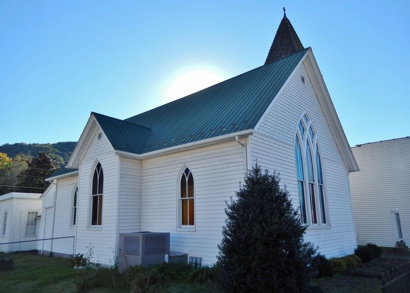
3. Damascus Presbyterian Church (northeast elevation)
Photographed by Cosmos Mariner, October 5, 2022
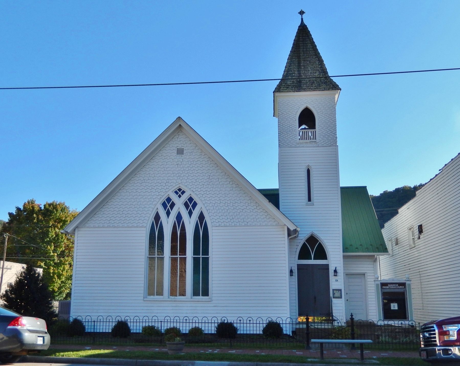
4. Damascus Presbyterian Church (north/front elevation)
Credits. This page was last revised on February 2, 2023. It was originally submitted on November 5, 2022, by Cosmos Mariner of Cape Canaveral, Florida. This page has been viewed 655 times since then and 37 times this year. Photos: 1, 2, 3, 4. submitted on November 5, 2022, by Cosmos Mariner of Cape Canaveral, Florida.
