Damascus in Washington County, Virginia — The American South (Mid-Atlantic)
Water Tanks
— The Damascus History Tour —
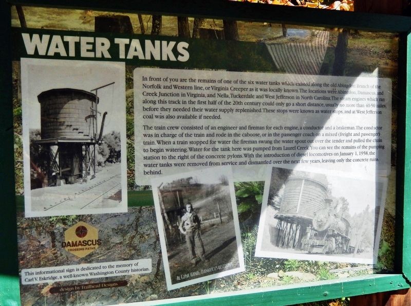
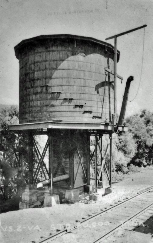
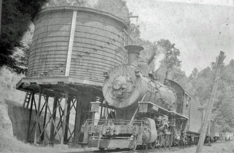
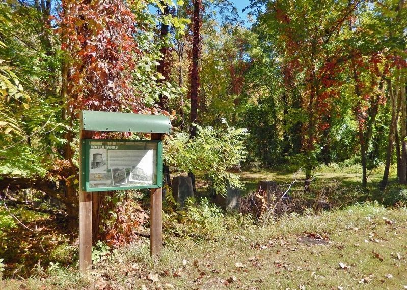
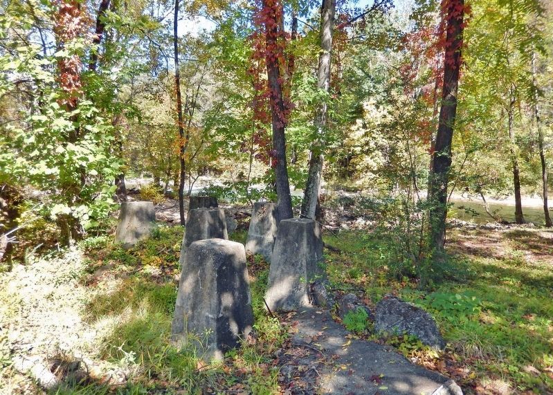
In front of you are the remains of one of the six water tanks which existed along the old Abingdon Branch of the Norfolk and Western line, or Virginia Creeper as it was locally known. The locations were Abingdon, Damascus, and Creek junction in Virginia, and Nella, Tuckerdale and West Jefferson in North Carolina. The steam engines which ran along this track in the first half of the 20th century could only go a short distance, usually no more than 40-50 miles, before they needed their water supply replenished. These stops were known as water stops, and at West Jefferson coal was also available if needed.
The train crew consisted of an engineer and fireman for each engine, a conductor and a brakeman. The conductor was in charge of the train and rode in the caboose, or in the passenger coach on a mixed (freight and passenger) train. When a train stopped for water the fireman swung the water spout out over the tender and pulled the chain to begin watering. Water for the tank here was pumped from Laurel Creek. You can see the remains of the pumping station to the right of the concrete pylons. With the introduction of diesel locomotives on January 1, 1958, the water tanks were removed from service and dismantled over the next few years, leaving only the concrete ruins behind.
This informational sign is dedicated to the memory of Carl V. Eskridge,
a well-known Washington County historian.
Erected by The Damascus History Tour.
Topics. This historical marker is listed in these topic lists: Railroads & Streetcars • Waterways & Vessels. A significant historical date for this entry is January 1, 1958.
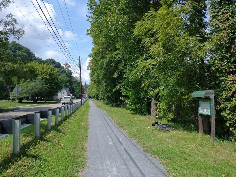
Location. 36° 38.262′ N, 81° 47.582′ W. Marker is in Damascus, Virginia, in Washington County. Marker is on North Beaver Dam Avenue (U.S. 58) 0.2 miles north of West Laurel Avenue (U.S. 58), on the right when traveling north. Marker and concrete pylons are located beside the Virginia Creeper National Recreation Trail, overlooking Laurel Creek. Touch for map. Marker is in this post office area: Damascus VA 24236, United States of America. Touch for directions.
Other nearby markers. At least 8 other markers are within walking distance of this marker. Laurel Avenue, The Main Street of Damascus (approx. 0.2 miles away); Damascus (approx. 0.2 miles away); Founders of Damascus (approx. 0.2 miles away); Damascus Old Mill (approx. 0.2 miles away); Electricity Comes to Damascus (approx. ¼ mile away); Damascus Presbyterian Church (approx. ¼ mile away); Churches of Damascus (approx. ¼ mile away); Virginia Creeper Trail (approx. 0.4 miles away). Touch for a list and map of all markers in Damascus.
Related markers. Click here for a list of markers that are related to this marker. The Damascus History Tour
Credits. This page was last revised on February 2, 2023. It was originally submitted on November 5, 2022, by Cosmos Mariner of Cape Canaveral, Florida. This page has been viewed 100 times since then and 20 times this year. Photos: 1, 2, 3, 4, 5. submitted on November 6, 2022, by Cosmos Mariner of Cape Canaveral, Florida. 6. submitted on November 22, 2022, by Tom Bosse of Jefferson City, Tennessee. 7. submitted on November 6, 2022, by Cosmos Mariner of Cape Canaveral, Florida.
