Near Doswell in Hanover County, Virginia — The American South (Mid-Atlantic)
Battle on the Skirmish Line
May 24, 1864 2:00 - 4:00pm
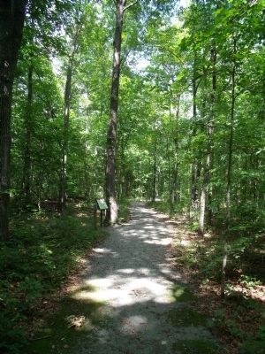
— Gray Trail —
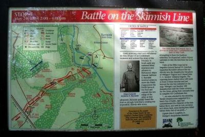
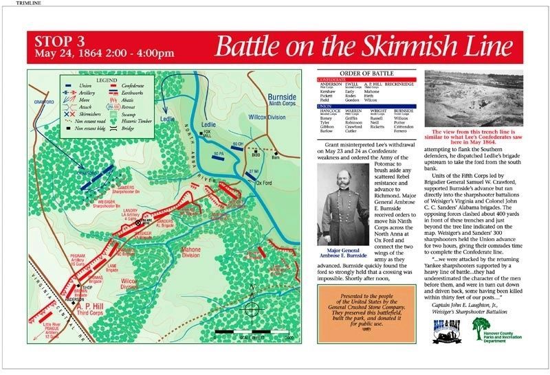
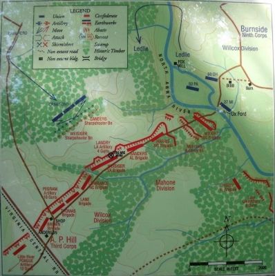
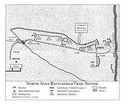
Units of the Fifth Corps led by Brigadier General Samuel W. Crawford, supported Burnside’s advance but ran directly into the sharpshooter battalions of Weisiger’s Virginia and Colonel John C.C. Sanders’ Alabama brigades. The opposing forces clashed about 400 yards in front of these trenches and just beyond the tree line indicated on the map. Weisiger’s and Sanders’ 300 sharpshooters held the Union advance for two hours, giving their comrades time to complete the Confederate line.
“...we were attacked by the returning Yankee sharpshooters supported by a heavy line of battle...they had underestimated the character of the men before them, and were in turn cut down and driven back, some having been killed within thirty feet of our posts....” Captain John E. Laughton, Jr., Weisiger’s Sharpshooter Battalion
(sidebar)
Presented to the people of the United States by the General Crushed Stone Company. They preserved this battlefield, built the park, and donated it for public use.
(captions)
Major General Ambrose E. Burnside
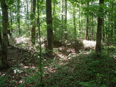
The view from this trench line is similar to what Lee's Confederates saw here in May 1864.
Erected 1998 by Blue & Gray Education Society, Hanover County Parks and Recreation Department. (Marker Number Stop 3.)
Topics. This historical marker is listed in this topic list: War, US Civil. A significant historical date for this entry is May 24, 1864.
Location. 37° 53.112′ N, 77° 29.909′ W. Marker is near Doswell, Virginia, in Hanover County. Marker can be reached from Verndon Road (Virginia Route 684) 0.2 miles west of New Market Mill Road (Virginia Route 685), on the right when traveling west. Located along the "Gray Trail" in North Anna Battlefield Park. Touch for map. Marker is at or near this postal address: 11576 Verdon Rd, Doswell VA 23047, United States of America. Touch for directions.
Other nearby markers. At least 8 other markers are within walking distance of this marker. One Brigade Alone (within shouting distance of this marker); Colonel Weisiger's Virginians (within shouting distance of this marker); The Ox Ford Road (about 600 feet away, measured in a direct line); The Heart of Dixie (about 700 feet away); Run for Safety (approx. 0.2 miles away); Men From Massachusetts (approx. 0.2 miles away); Like the Coming of a Cyclone (approx. 0.2 miles away); "Come on to Richmond" (approx. ¼ mile away). Touch for a list and map of all markers in Doswell.
Related markers. Click here for a list of markers that are related to this marker. North Anna Battlefield Park "Gray Trail" Markers
Also see . . .
1. North Anna Battlefield Park. Hanover County Parks & Recreation (Submitted on July 3, 2014.)
2. The Battle of North Anna. Fredericksburg & Spotsylvania National Military Park (Submitted on July 19, 2009.)
3. North Anna. American Battlefield Trust (Submitted on July 19, 2009.)
4. North Anna Battlefield Park Sign Project. Blue & Gray Education Society (Submitted on February 25, 2020.)
Credits. This page was last revised on August 14, 2021. It was originally submitted on July 19, 2009, by Bernard Fisher of Richmond, Virginia. This page has been viewed 1,279 times since then and 17 times this year. Photos: 1. submitted on July 19, 2009, by Bernard Fisher of Richmond, Virginia. 2. submitted on February 25, 2020. 3, 4, 5, 6, 7. submitted on July 19, 2009, by Bernard Fisher of Richmond, Virginia.
