Basseterre in Saint George Basseterre Parish, Saint Kitts, Saint Kitts and Nevis — Caribbean Region of the Americas (Lesser Antilles in the West Indies)
Co Cathedral of Immaculate Conception
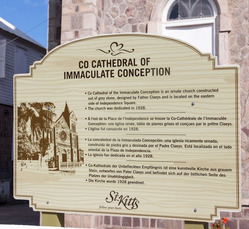
Photographed by J. J. Prats, December 3, 2017
1. Co Cathedral of Immaculate Conception Marker

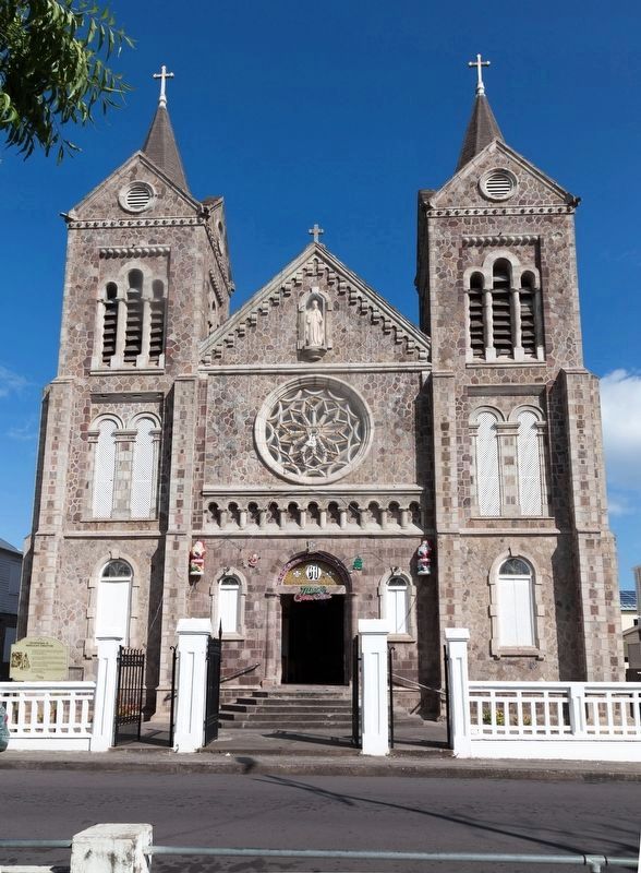
• Co Cathedral of the Immaculate Conception is an ornate church constructed out of grey stone, designed by Father Claeys and is located on the eastern side of Independence Square.
• The church was dedicated in 1928.
• L’église fut consacrée en 1928.
• La iglesia fue dedicada en el año 1928.
• Die Kirche wurde 1928 gewidmet.
Erected by St. Kitts.
Topics. This historical marker is listed in these topic lists: Notable Buildings • Religion & Religious Structures.
Location. 17° 17.784′ N, 62° 43.301′ W. Marker is in Basseterre, Saint Kitts, in Saint George Basseterre Parish. It is on East Independene Street south of North Independence Street
this page online

Regionally, it is one of the Lesser Antilles on the Caribbean Sea, on in the Atlantic Ocean, in North America, in the Western Hemisphere, and in the Anglosphere. Historically, it finds itself in what was once a British colony.
Other nearby markers. At least 8 other markers are within 10 kilometers of this marker, measured as the crow flies: Independence Square (a few steps from this marker); The Judicial and Legal Complex (within shouting distance of this marker); a different marker also named Independence Square (within shouting distance of this marker); a different marker also named Independence Square (about 120 meters away, measured in a direct line); a different marker also named Independence Square (about 120 meters away); a different marker also named Independence Square (about 150 meters away); The Berkley Memorial (approx. 0.2 kilometers away); Bell Tower (approx. 9 kilometers away). Touch for a list and map of all markers in Basseterre.
Also see . . . Wikipedia entry. Excerpt:
An Act passed in 1829 finally to remove all disabilities. As a consequence, there was a revival of Roman Catholicism.(Submitted on November 6, 2022.)
The steady influx of Portuguese migrants from the island of Madeira from 1835 onwards strengthened the growth of the Roman Catholic community.
Achurch was built in or about 1856; it was called the Church of the Immaculate Conception. In 1927, it was demolished and replaced by a modern edifice on the same site on East Square Street. Father Claeys who was an architect of repute designed the church. It was dedicated on 6 December 1928.Photographed by J. J. Prats, December 3, 20172. Co Cathedral of Immaculate Conception Marker
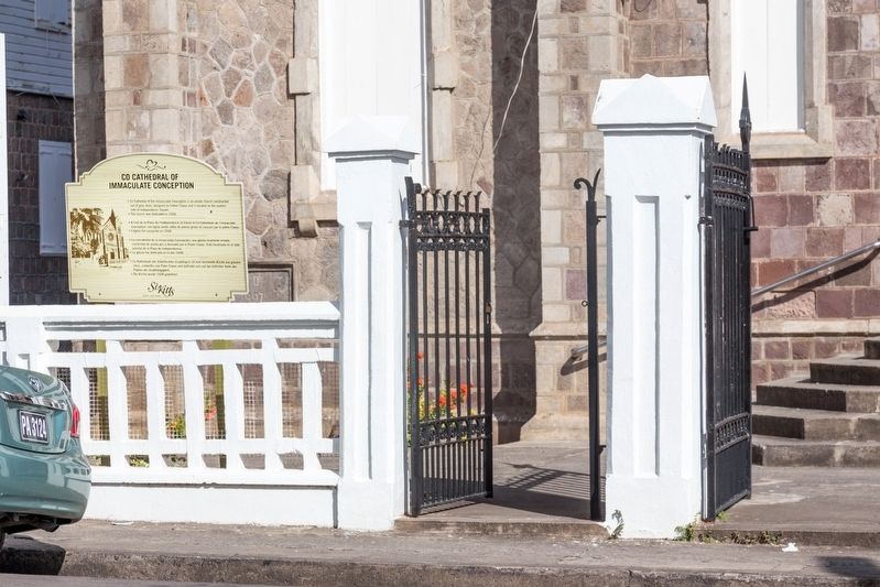
Photographed by J. J. Prats, December 3, 2017
3. Co Cathedral of the Immaculate Conception, Basseterre, Saint Kitts
By Gertjan R. (CC-BY-4.0) via Wikimedia Commons, July 3, 2014
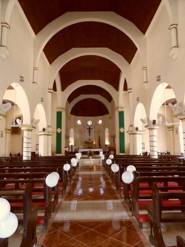
4. Interior of the Co-Cathedral of Immaculate Conception of Basseterre, Saint Kitts and Nevis
Credits. This page was last revised on November 6, 2022. It was originally submitted on November 6, 2022, by J. J. Prats of Powell, Ohio. This page has been viewed 375 times since then and 62 times this year. Photos: 1, 2, 3, 4. submitted on November 6, 2022, by J. J. Prats of Powell, Ohio.
