Near Doswell in Hanover County, Virginia — The American South (Mid-Atlantic)
"Come on to Richmond"
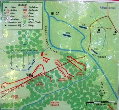
May 24, 1864 6:00pm
— Gray Trail —
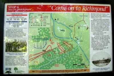
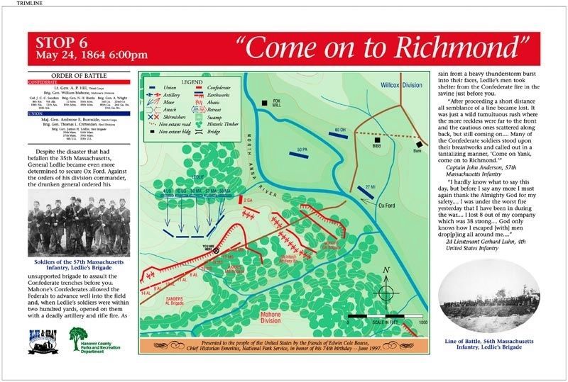
“After proceeding a short distance all semblance of a line became lost. It was just a wild tumultuous rush where the more reckless were far to the front and the cautious ones scattered along back, but still coming on.... Many of the Confederate soldiers stood upon their breastworks and called out in a tantalizing manner, ‘Come on Yank, come on to Richmond.’” Captain John Anderson, 57th Massachusetts Infantry
“I hardly know what to say this day, but before I say any more I must again thank the Almighty God for my safety.... I was under the worst fire yesterday that I have been in during the war.... 1 lost 8 out of my company which was 38 strong.... God only knows how I escaped [with] men drop[p]ing all around me....” 2d Lieutenant Gerhard Luhn, 4th United States Infantry
(sidebar)
Presented to the people of the United States by the friends of Edwin cole Bearss, Chief Historian Emiritus, National Park Service, in honor of his 74th birthday -- June 1997.
(captions)
Soldiers of the 57th Massachusetts Infantry, Ledlie's Brigade
Line of Battle, 56th Massachusetts Infantry, Ledlie's Brigade
Erected 1998 by Blue & Gray Education Society, Hanover County Parks and Recreation Department. (Marker Number Stop 6.)
Topics. This historical marker is listed in this topic list: War, US Civil. A significant historical date for this entry is May 24, 1864.
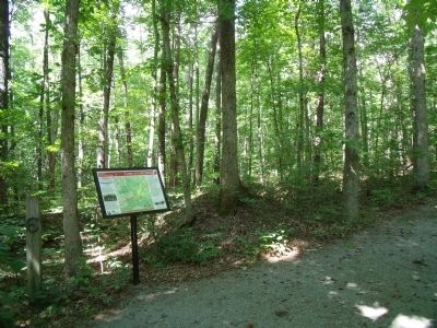
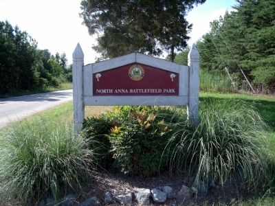
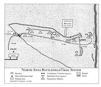
Location. 37° 53.181′ N, 77° 29.666′ W. Marker is near Doswell, Virginia, in Hanover County. Marker can be reached from Verndon Road (Virginia Route 684) 0.2 miles west of New Market Mill Road (Virginia Route 685), on the right when traveling west. Located along the "Gray Trail" in North Anna Battlefield Park. Touch for map. Marker is at or near this postal address: 11576 Verdon Rd, Doswell VA 23047, United States of America. Touch for directions.
Other nearby markers. At least 8 other markers are within walking distance of this marker. Men From Massachusetts (within shouting distance of this marker); "Save yourselves if you can" (within shouting distance of this marker); Like the Coming of a Cyclone (about 300 feet away, measured in a direct line); The Inverted V (about 500 feet away); Run for Safety (about 500 feet away); Grant Reacts (about 600 feet away); The Heart of Dixie (about 600 feet away); Artillery Duel (about 700 feet away). Touch for a list and map of all markers in Doswell.
Related markers. Click here for a list of markers that are related to this marker. North Anna Battlefield Park "Gray Trail" Markers
Also see . . .
1. North Anna Battlefield Park. Hanover County Parks & Recreation (Submitted on July 3, 2014.)
2. The Battle of North Anna. Fredericksburg & Spotsylvania National Military Park (Submitted on July 19, 2009.)
3. North Anna. American Battlefield Trust (Submitted on July 19, 2009.)
4. North Anna Battlefield Park Sign Project. Blue & Gray Education Society (Submitted on February 25, 2020.)
Credits. This page was last revised on August 14, 2021. It was originally submitted on July 19, 2009, by Bernard Fisher of Richmond, Virginia. This page has been viewed 1,258 times since then and 18 times this year. Photos: 1. submitted on July 19, 2009, by Bernard Fisher of Richmond, Virginia. 2. submitted on February 25, 2020. 3, 4, 5, 6, 7. submitted on July 19, 2009, by Bernard Fisher of Richmond, Virginia.
