Spring Hill in Maury County, Tennessee — The American South (East South Central)
The Battle of Spring Hill
Blocking the Columbia Turnpike
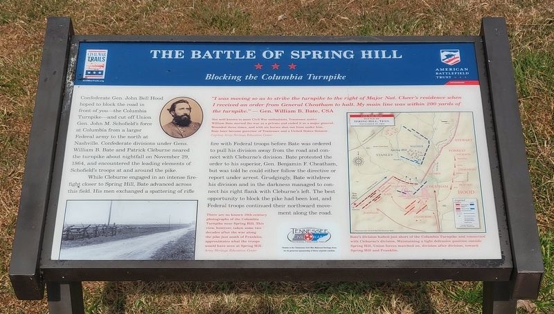
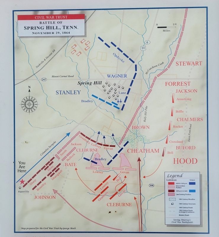
Confederate Gen. John Bell Hood hoped to block the road in front of you—the Columbia Turnpike—and cut off Union Gen. John M. Schofield's force at Columbia from a larger Federal army to the north at Nashville. Confederate divisions under Gens. William B. Bate and Patrick Cleburne neared the turnpike about nightfall on November 29, 1864, and encountered the leading elements of Schofield's troops at and around the pike.
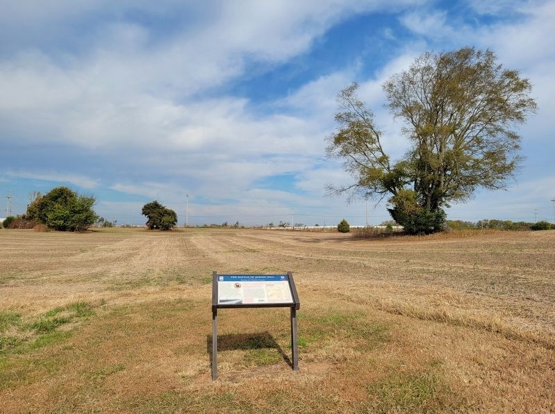
While Cleburne engaged in an intense fire-fight closer to Spring Hill, Bate advanced across this field. His men exchanged a spattering of rifle fire with Federal troops before Bate was ordered to pull his division away from the road and connect with Cleburne's division. Bate protested the order to his superior, Gen. Benjamin F. Cheatham, but was told he could either follow the directive or report under arrest. Grudgingly, Bate withdrew his division and in the darkness managed to connect his right flank with Cleburne's left. The best opportunity to block the pike had been lost, and Federal troops continued their northward movement along the road.
"I was moving so as to strike the turnpike to the right of Major Nat. Cheer's residence when I received an order from General Cheatham to halt. My main line was within 200 yards of the turnpike." - Gen. William B. Bate, CSA
(captions)
Not well known to most Civil War enthusiasts, Tennessee native William Bate started the war as a private and ended it as a major general. Wounded three times, and with six horses shot out from under him, Bate later became governor of Tennessee and a United States Senator. Courtesy Army Heritage Education Center
There are no known 19th-century photographs of Columbia Turnpike near Spring Hill. This view, however, taken some two decades after the war along the pike just south of Franklin, approximates what the troops would have seen at Spring Hill. Army Heritage Education Center
Bate's division halted just short of the Columbia Turnpike and connected with Cleburne's division. Maintaining a light defensive position outside Spring Hill, Union forces marched on, division after division, toward Spring Hill and Franklin.
Erected by Civil War Trails, American Battlefield Trust and Tennessee Civil War National Heritage Area.
Topics. This historical marker is listed in this topic list: War, US Civil. A significant historical date for this entry is November 29, 1864.
Location. 35° 44.019′ N, 86° 57.041′ W. Marker is in Spring Hill, Tennessee, in Maury County. Marker can be reached from Main Street (U.S. 31) half a mile south of Saturn Parkway (Tennessee Route 396), on the left when traveling
south. Located on the left side of the entrance road to the Rippa Villa Plantation and is on the battlefield hiking trail. Touch for map. Marker is at or near this postal address: 5700 Main Street, Spring Hill TN 37174, United States of America. Touch for directions.
Other nearby markers. At least 8 other markers are within 2 miles of this marker, measured as the crow flies. A different marker also named The Battle of Spring Hill (about 700 feet away, measured in a direct line); a different marker also named The Battle of Spring Hill (approx. 0.2 miles away); Slave Fields To Battlegrounds (approx. 0.2 miles away); Rippa Villa (approx. 0.2 miles away); a different marker also named Rippa Villa (approx. 0.2 miles away); Rippavilla Plantation (approx. ¼ mile away); Billy Direct (approx. ¾ mile away); Hood's Command Post (approx. 1.1 miles away). Touch for a list and map of all markers in Spring Hill.
Related marker. Click here for another marker that is related to this marker. Old CWT Marker At This Location also titled “The Battle of Spring Hill"
Credits. This page was last revised on November 10, 2022. It was originally submitted on November 6, 2022, by Bradley Owen of Morgantown, West Virginia. This page has been viewed 171 times since then and 16 times this year. Photos: 1, 2, 3. submitted on November 6, 2022, by Bradley Owen of Morgantown, West Virginia. • Bernard Fisher was the editor who published this page.


