Mott Haven in Manhattan in New York County, New York — The American Northeast (Mid-Atlantic)
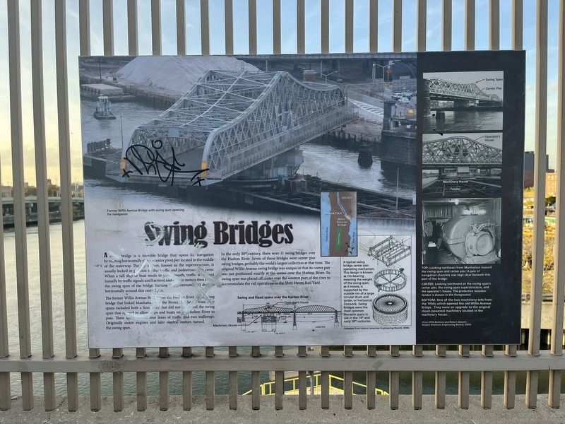
Swing Bridges
A swing bridge is a movable bridge that opens for navigation by rotating horizontally about a center pivot pier located in the middle of the waterway. The top section, known as the superstructure, is usually locked in position so that traffic and pedestrians can cross. When a tall ship or boat needs to pass underneath, traffic is stopped (usually by traffic signals and barriers) and electric motors then [unreadable] the swing span of the bridge, turning it approximately 90 degrees horizontally around this central pier.
The former Willis Avenue Bridge over the Harlem River was a swing bridge that linked Manhattan and the Bronx. The later truss river spans included both a fixed span that did not rise and the swing span that opened to allow ships and boats on the Harlem River to pass. These spans carried four lanes of traffic and two walkways. Originally steam engines and later electric motors turned the swing span.
In the early 20th century, there were 11 swing bridges over the Harlem River. Seven of these bridges were center pier swing bridges, probably the world's largest collection at that time. The original Willis Avenue swing bridge was unique in that its center pier was not positioned exactly at the center over the Harlem River. Its swing span was placed off center over the western part of the river to accommodate the rail operations in the Mott Haven Rail Yard.
[Captions:]
A typical swing bridge center pier operating mechanism. This design is known as rim-bearing, meaning the weight of the swing span, as it moves, is supported by the outside rim of a large circular drum and girder, or horizontal ironwork. Swing bridges were the most common movable spans in use in the 19th and early 20th centuries.
(Adapted from Historic Engineering Record, 2004)
Top: Looking northeast from Manhattan toward the swing span and center pier. A pair of navigation channels was kept clear beneath this part of the bridge.
Center: Looking northwest at the swing span's center pier, the swing span superstructure, and the operator's house. The protective wooden fender is shown in the foreground.
Bottom: One of the two machinery sets from the 1950s which operated the old Willis Avenue Bridge. They were and upgrade to the original steam powered machinery located in the machinery house.
(From MTA Archives and Robert Stewart, Historic American Engineering Record, 2004)
Topics. This historical marker is listed in these topic lists: Bridges & Viaducts • Waterways & Vessels.
Location. 40° 48.229′ N,
Other nearby markers. At least 8 other markers are within walking distance of this location. Willis Avenue Bridge (about 500 feet away, measured in a direct line); Roundhouse (about 800 feet away); Village of Nieuw Haerlem (about 800 feet away); PFC Carlos J. Lozada Playground (approx. 0.3 miles away); Carlos James Lozada (approx. 0.3 miles away); Alice Kornegay Triangle (approx. 0.4 miles away); Pleasant Village Community Garden (approx. half a mile away); GreenThumb (approx. half a mile away). Touch for a list and map of all markers in Manhattan.
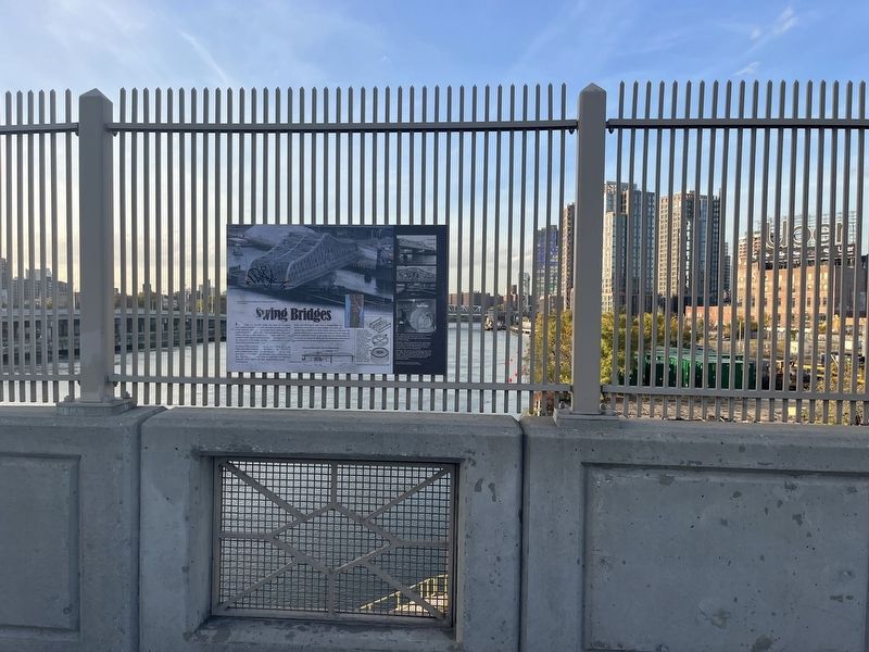
More about this marker. Unfortunately, the marker has been defaced and is unreadable in certain sections.
Credits. This page was last revised on January 31, 2023. It was originally submitted on November 7, 2022, by Devry Becker Jones of Washington, District of Columbia. This page has been viewed 112 times since then and 25 times this year. Photos: 1, 2. submitted on November 7, 2022, by Devry Becker Jones of Washington, District of Columbia.

