Asheville in Buncombe County, North Carolina — The American South (South Atlantic)
Siting Biltmore House and Stables
Photographed by Darren Jefferson Clay, October 27, 2022
1. Siting Biltmore House and Stables Marker
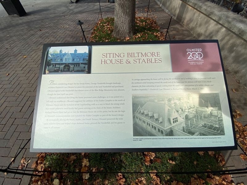
Before considering designs for his future home, George Vanderbilt brought landscape architect Frederick Law Olmsted to assess the potential of the land Vanderbilt had purchased. Olmsted agreed with Vanderbilt that distant views of the Blue Ridge Mountains were pleasant, though the land itself was poor.
Olmsted understood that siting the house presented some challenges, as it was poised on a hill with no windbreak. Olmsted suggested the addition of the Stable Complex to the north of Biltmore House and the inclusion of the surrounding walls as a way to block the strong winds that would otherwise meet family and guests arriving at the front of the house. Architect Richard Morris Hunt had yet to visit the Biltmore House site at this point, but he saw the logic in Olmsted's recommendation and included the Stable Complex as part of the houses design.
By strategically placing the house, stables, and South Terrace, Olmsted preserved the wide open western view and helped create sheltered home grounds for Vanderbilt and his guests to enjoy in all seasons.
"A carriage approaching the house will be facing the northward and if nothing is done to prevent it will catch the northwest wind sweeping around the north end of the house and the plateau will have a very bleak character, far from welcoming to guests coming from the north with anticipations of a milder climate and Southern hospitality.-FrederickLaw Olmsted to Richard Morris Hunt, March 2, 1889
Click or scan to see
this page online
Topics. This historical marker is listed in this topic list: Architecture. A significant historical date for this entry is March 2, 1889.
Location. 35° 32.459′ N, 82° 33.14′ W. Marker is in Asheville, North Carolina, in Buncombe County. It can be reached from Approach Road 0.2 miles north of The Glen Road, on the right when traveling south. Touch for map. Marker is at or near this postal address: 605 Approach Rd, Asheville NC 28803, United States of America. Touch for directions.

Regionally, this marker is in the Mountains. It is also in the American South, specifically in the Upper South, in Appalachia, and specifically in Southern Appalachia. Globally, it is in North America, the Western Hemisphere, the Western World, and the Anglosphere. Historically, it finds itself in what was once the original Cherokee Nation, the territory of the Mississippian Culture, one of the original Thirteen Colonies, one of the Confederate States of America, and the Antebellum South.
Other nearby markers. At least 8 other markers are within walking distance of this marker: Biltmore Dairy Bar (within

Photographed by Darren Jefferson Clay, October 27, 2022
2. Siting Biltmore House and Stables Marker (seen on the right edge of this photo)
Additional keywords. landscape architecture
Credits. This page was last revised on November 17, 2022. It was originally submitted on November 7, 2022, by Darren Jefferson Clay of Duluth, Georgia. This page has been viewed 292 times since then and 22 times this year. Photos: 1, 2. submitted on November 8, 2022, by Darren Jefferson Clay of Duluth, Georgia. • Devry Becker Jones was the editor who published this page.
