Abingdon in Washington County, Virginia — The American South (Mid-Atlantic)
Walnut Grove
Yeary Cabin
Photographed by Duane and Tracy Marsteller, October 23, 2022
1. Walnut Grove Marker
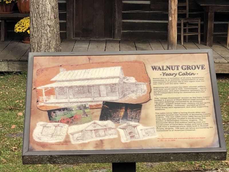
Beginning with a simple log cabin, pioneer settlers, over time, would add to their “ homesteads” – barns, smokehouses, and other additions necessary for a life of independent living for themselves and their families.
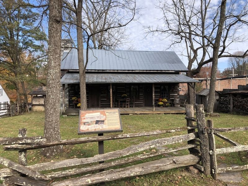
This “Village Homestead” (known as the Yeary Cabin) located in grove of Black Walnut trees includes two log cabin dwellings connected by an enclosed “dogtrot”, outdoor bread oven, century old bee gums, blacksmith shop, “outhouse”, portable gristmill, horse drawn farm equipment, and other supporting additions.
The cabin (circa 1890's) facing Plumb Alloy was originally located near Vansant, in Buchanan County, Virginia. The rear cabin (circa 1860) facing Brewers Alley was originally located in the Brumley Gap section of Washington County, Virginia. The blacksmith shop and outdoor baking oven are constructed of hand hewn timber and hand made brick from a dwelling (circa 1850) built in Russell County, Virginia. The split rail
this page online
The preservation and restoration project was begun on this site in 2000.
Topics. This historical marker is listed in this topic list: Architecture. A significant historical year for this entry is 1860.
Location. 36° 42.766′ N, 81° 58.245′ W. Marker is in Abingdon, Virginia, in Washington County. It is on Plumb Alley east of Brewers Alley, on the left when traveling east. Touch for map. Marker is in this post office area: Abingdon VA 24210, United States of America. Touch for directions.

Regionally, this marker is in the Tri-Cities Area, in Southwest Virginia, and in the Blue Ridge Highlands. It is also in the American South, specifically in the Upper South, in Appalachia, and specifically in Southern Appalachia. Globally, it is in North America, the Western Hemisphere, the Western World, and the Anglosphere. Historically, it finds itself in what was once the territory of the Mississippian Culture, one of the original Thirteen Colonies, one of the Confederate States of America, and the Antebellum South.
Other nearby markers. At least 8 other markers are within walking
Photographed by Duane and Tracy Marsteller, October 23, 2022
2. Walnut Grove Marker
Credits. This page was last revised on February 2, 2023. It was originally submitted on November 10, 2022, by Duane and Tracy Marsteller of Murfreesboro, Tennessee. This page has been viewed 549 times since then and 72 times this year. Photos: 1, 2. submitted on November 10, 2022, by Duane and Tracy Marsteller of Murfreesboro, Tennessee.
