Central Harlem in Manhattan in New York County, New York — The American Northeast (Mid-Atlantic)
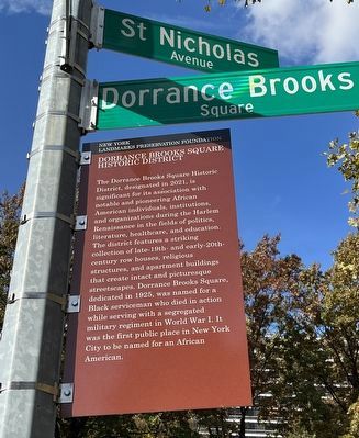
Dorrance Brooks Square Historic District
New York Landmarks Preservation Foundation

Photographed By Devry Becker Jones (CC0), November 5, 2022
1. Dorrance Brooks Square Historic District Marker
Erected 2021 by New York Landmarks Preservation Foundation.
Topics. This historical marker is listed in these topic lists: African Americans • Arts, Letters, Music • Education. A significant historical year for this entry is 2021.
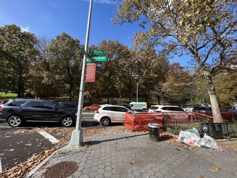
Location. 40° 49.082′ N, 73° 56.847′ W. Marker is in Manhattan, New York, in New York County. It is in Central Harlem. Marker is at the intersection of West 136th Street and St. Nicholas Avenue, on the left when traveling east on West 136th Street. Touch for map. Marker is at or near this postal address: 30 W 136th St, New York NY 10030, United States of America. Touch for directions.
Other nearby markers. At least 8 other markers are within walking distance of this marker. Dorrance Brooks Square (a few steps from this marker); a different marker also named Dorrance Brooks Square (within shouting distance of this marker); a different marker also named Dorrance Brooks Square (within shouting distance of this marker); James Baldwin Lawn (about 400 feet away, measured in a direct line); Shepard Hall (approx. 0.2 miles away); Hamilton Grange (approx. ¼ mile away); a different marker also named Hamilton Grange (approx. ¼ mile away); Hamilton's Eden (approx. ¼ mile away). Touch for a list and map of all markers in Manhattan.
![Dorrance Brooks Square Historic District Marker [Reverse]. Click for full size. Dorrance Brooks Square Historic District Marker [Reverse] image. Click for full size.](Photos6/689/Photo689179.jpg?1123202364300PM)
Photographed By Devry Becker Jones (CC0), November 5, 2022
2. Dorrance Brooks Square Historic District Marker [Reverse]

Photographed By Devry Becker Jones (CC0), November 5, 2022
3. Dorrance Brooks Square Historic District Marker
Credits. This page was last revised on November 23, 2023. It was originally submitted on November 10, 2022, by Devry Becker Jones of Washington, District of Columbia. This page has been viewed 68 times since then and 16 times this year. Photos: 1, 2, 3. submitted on November 10, 2022, by Devry Becker Jones of Washington, District of Columbia.