Marietta in Washington County, Ohio — The American Midwest (Great Lakes)
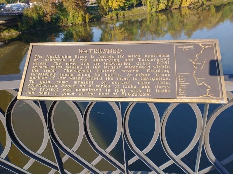
Watershed
Erected by Marietta Kiwanis Club.
Topics. This historical marker is listed in these topic lists: Bridges & Viaducts • Disasters • Waterways & Vessels.
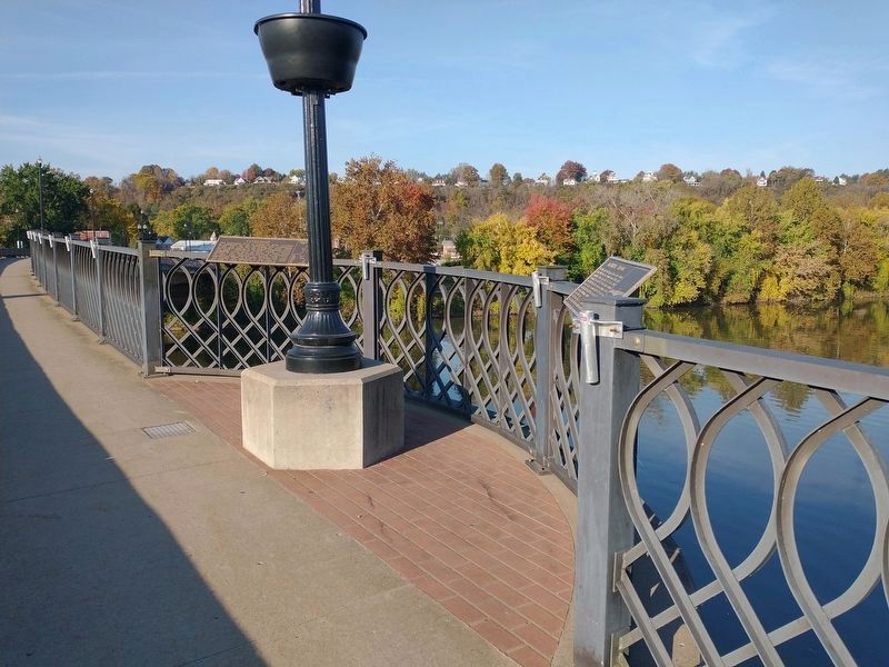
Location. 39° 24.829′ N, 81° 27.445′ W. Marker is in Marietta, Ohio, in Washington County. Marker is on Putnam Bridge, on the right when traveling west. Touch for map. Marker is at or near this postal address: 275 Putnam Bridge, Marietta OH 45750, United States of America. Touch for directions.
Other nearby markers. At least 8 other markers are within walking distance of this marker. Marietta Floods (here, next to this marker); Old Harmar Lock (a few steps from this marker); Muskingum Lock No. 1 (a few steps from this marker); Natural History (about 300 feet away, measured in a direct line); Steamboat Era (about 300 feet away); Railroad Bridge (about 300 feet away); Fort Harmar (about 300 feet away); Putnam Bridge History (about 400 feet away). Touch for a list and map of all markers in Marietta.
Credits. This page was last revised on November 25, 2022. It was originally submitted on November 3, 2022, by Craig Doda of Napoleon, Ohio. This page has been viewed 63 times since then and 10 times this year. Last updated on November 10, 2022, by Bradley Owen of Morgantown, West Virginia. Photos: 1, 2. submitted on November 3, 2022, by Craig Doda of Napoleon, Ohio. • Devry Becker Jones was the editor who published this page.

