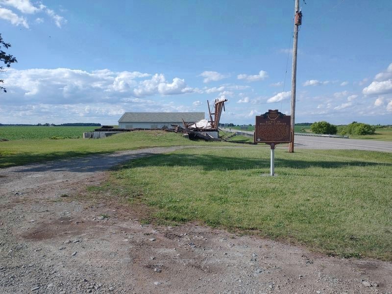
Near Seward in Fulton County, Ohio — The American Midwest (Great Lakes)
The Ohio Michigan Boundary War / Battle of Phillips Corners
Ohio Historical Markers
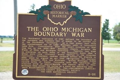
The Ohio Michigan Boundary War.
The Northwest Ordinance of 1787 defined the boundary of the northern and southern tier of states to be carved out of the Northwest Territory, as a line drawn east from the southernmost tip of Lake Michigan until it intersects Lake Erie. Controversy over the exact location of that line led to the 1834-1837 boundary dispute between the State of Ohio and Michigan Territory. Passions ran high as everyone on both sides of the boundary knew that a great port city (Toledo) would emerge in the disputed territory. President Andrew Jackson settled the dispute in 1836 when he signed an act that recognized the current border between Ohio and Michigan, giving Michigan 9,000 square miles of Upper Peninsula land and awarding the disputed strip of approximately 470 square miles to Ohio. Michigan then joined the nation as a state the following year.
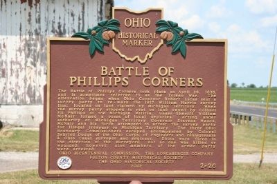
Battle of Phillips Corners.
The Battle of Phillips Corners took place on April 26, 1835, and is sometimes referred to as the Toledo War. The altercation began when Ohio Governor Robert Lucas sent a survey party to re-mark the 1817 William Harris survey line, located on land claimed by Michigan Territory. When the survey party stopped to rest on land owned by Colonel Eli Phillips of the Michigan Militia, Under-Sheriff William McNair formed a posse of local deputies. Acting under authority of Michigan Territory Governor Stevens Mason, McNair and his force attempted to arrest the survey party for illegal trespass on Michigan Territory. The three Ohio Boundary Commissioners escaped accompanied by Colonel Sebried Dodge of the Ohio Corps. of Engineers and Pennsylvania & Ohio Canal surveyor and engineer. Shots were fired in the direction of the surveyors, but no one was killed or wounded; however, nine members of the armed party were arrested.
Erected 2002 by Ohio Bicentennial Commission, The Longaberger Company, Fulton County Historical Society, and The Ohio Historical Society. (Marker Number 2-26.)
Topics and series. This historical marker is listed in these topic lists: Political Subdivisions • Settlements & Settlers. In addition, it is included in the Ohio Historical Society / The Ohio History Connection series list. A significant historical month for this entry is April 1771.
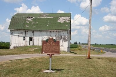
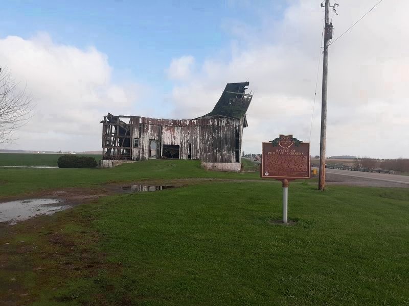
Location. 41° 42.013′ N, 84° 2.222′ W. Marker is near Seward, Ohio, in Fulton County. Marker is at the intersection of Ohio Route 109 and Ohio Route 120, on the left when traveling north on State Route 109. This historical marker is situated at the northwest corner of the intersection of State Route 109 and State Route 120, about 2 miles east of Lyons, Ohio. Touch for map. Marker is in this post office area: Lyons OH 43533, United States of America. Touch for directions.
Other nearby markers. At least 8 other markers are within 6 miles of this marker, measured as the crow flies. Lyons (approx. 1.2 miles away); The First Universalist Church (approx. 1.7 miles away); Lyons World War II Memorial (approx. 1.9 miles away); Royalton Township Civil War Memorial (approx. 2.1 miles away); Ridgeville Veterans Memorial (approx. 4 miles away in Michigan); Pike Township War Memorial (approx. 4.9 miles away); Council Oak (approx. 5.7 miles away); Council Oak / Col. D.W.H. Howard (approx. 5.7 miles away).
Related markers. Click here for a list of markers that are related to this marker. To better understand the relationship, study each marker in the order shown.
Also see . . .
1. Toledo War. Ohio History Central website entry (Submitted on July 22, 2009, by Dale K. Benington of Toledo, Ohio.)
2. Toledo War. Absolute Astronomy website entry (Submitted on July 22, 2009, by Dale K. Benington of Toledo, Ohio.)
Credits. This page was last revised on August 8, 2022. It was originally submitted on July 22, 2009, by Dale K. Benington of Toledo, Ohio. This page has been viewed 7,717 times since then and 144 times this year. Photos: 1, 2, 3. submitted on July 22, 2009, by Dale K. Benington of Toledo, Ohio. 4, 5. submitted on June 23, 2021, by Craig Doda of Napoleon, Ohio. • Craig Swain was the editor who published this page.
