Stillwater in Saratoga County, New York — The American Northeast (Mid-Atlantic)
Main British Encampment
History Now
Photographed by Bill Coughlin, July 13, 2008
1. Main British Encampment Marker
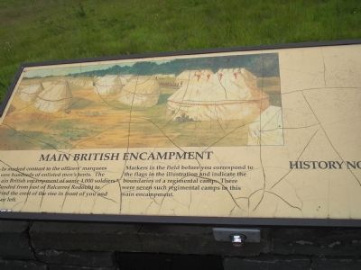
In marked contrast to the officers’ marquees were hundreds of enlisted men’s tents. The main British encampment of some 4,000 soldiers extended east of Balcarres Redoubt to beyond the crest of the rise in front of you and to your left.
Markers in the field before you correspond to the flags in the illustration and indicate the boundaries of a regimental camp. There were seven such regimental camps in this main encampment.
Erected by Saratoga National Historic Park, National Park Service.
Topics. This historical marker is listed in these topic lists: Military • Notable Places • War, US Revolutionary.
Location. Marker has been reported permanently removed. It was located near 43° 0.127′ N, 73° 37.178′ W. Marker was in Stillwater, New York, in Saratoga County. It was on Park Tour Road, on the right when traveling north. Marker is located in Saratoga National Historic Park along the auto tour road. Touch for map. Marker was in this post office area: Stillwater NY 12170, United States of America.
We have been informed that this marker is no longer there and
this page online
Regionally, this marker was in Upstate New York, in the Capital District, and in the Albany Metropolitan Area. It was also in the American Northeast and in the Mid-Atlantic. Globally, it was in North America, the Great North Woods, the Western Hemisphere, the Western World, and the Anglosphere. Historically, it found itself in what was once New Netherland and also one of the original Thirteen Colonies.

Other nearby markers. At least 8 other markers are within walking distance of this location: Beaten, Broken, But Still Beloved (within shouting distance of this marker); All Armies Travel on Their Stomachs (within shouting distance of this marker); Redcoats and their Families (within shouting distance of this marker); Consequences of Failure (about 300 feet away, measured in a direct line); Get Ready to Retreat (approx. half a mile away); Why Do the Battles of Saratoga Matter? (approx. half a mile away); Buried Here: Any Hope of Victory (approx. half a mile away); Crucial Choices (approx. half a mile away). Touch for a list and map of all markers in Stillwater.
Other
Photographed by Bill Coughlin, July 16, 2013
2. Main British Encampment Marker
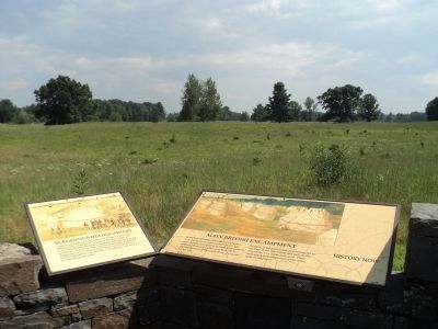
More about this marker. The top of the marker contains a picture of the British encampment, featuring officers’ marquees and enlisted men’s tents. Soldiers are seen drilling in the picture.
Also see . . . Saratoga National Historic Park. National Park Service website entry. (Submitted on August 3, 2008, by Bill Coughlin of Woodland Park, New Jersey.)
Photographed by Bill Coughlin, July 13, 2008
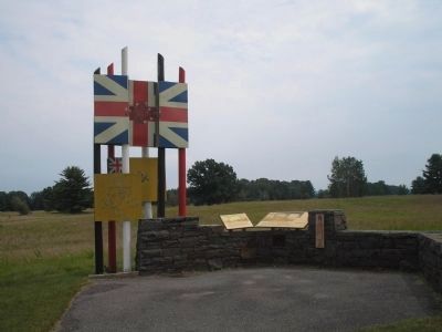
3. Markers in Saratoga National Historic Park
Photographed by Bill Coughlin, July 13, 2008
4. Main British Encampment Marker
There are several markers in the field that indicate the extent of the British encampment. One is visible in this photo at the tree line.
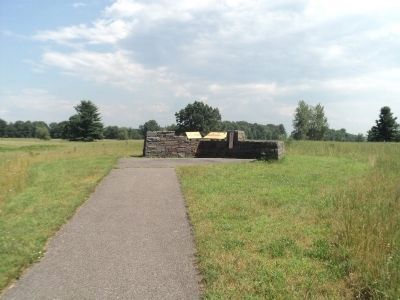
Photographed by Bill Coughlin, July 16, 2013
5. Markers at Burgoyne's Headquarters Tour Stop
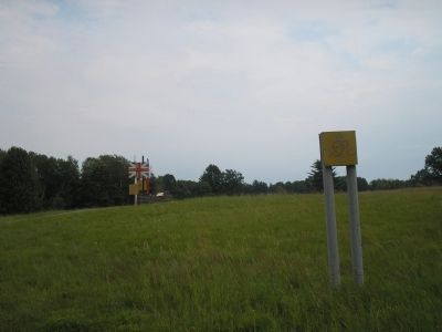
Photographed by Bill Coughlin, July 13, 2008
6. Main British Encampment Marker from the Road
Burgoyne selected this site for his headquarters due to location of a nearby spring. This place was the center of British activity between the two Battles of Saratoga.
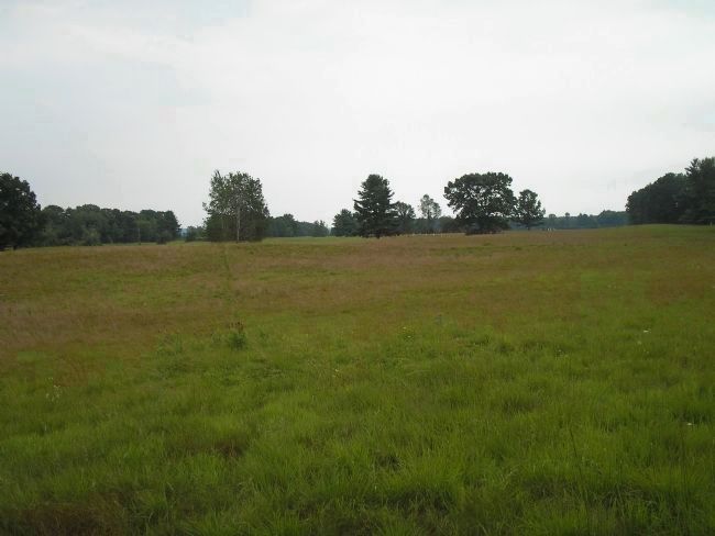
Photographed by Bill Coughlin, July 13, 2008
7. Main British Encampment
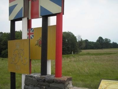
Gen. Burgoyne set up his encampment on this field after the Battle of Freeman's Farm on September 19, 1777. He remained here until the Army's retreat on October 7, after the second battle. The white poles indicating the location of Balcarres Redoubt can be seen in the background of this photo taken from the marker.
Credits. This page was last revised on November 14, 2022. It was originally submitted on August 3, 2008, by Bill Coughlin of Woodland Park, New Jersey. This page has been viewed 966 times since then and 26 times this year. Last updated on November 10, 2022, by Steve Stoessel of Niskayuna, New York. Photos: 1. submitted on August 3, 2008, by Bill Coughlin of Woodland Park, New Jersey. 2. submitted on July 18, 2013, by Bill Coughlin of Woodland Park, New Jersey. 3, 4. submitted on August 3, 2008, by Bill Coughlin of Woodland Park, New Jersey. 5. submitted on July 18, 2013, by Bill Coughlin of Woodland Park, New Jersey. 6, 7. submitted on August 3, 2008, by Bill Coughlin of Woodland Park, New Jersey. • Michael Herrick was the editor who published this page.
